Lipa - Zavetišče na Biba planini
Starting point: Lipa (721 m)
Starting point Lat/Lon: 46.2614°N 14.8937°E 
Time of walking: 2 h 30 min
Difficulty: easy marked way
Difficulty of skiing: no data
Altitude difference: 579 m
Altitude difference (by path): 650 m
Map: Zgornja Savinjska dolina 1:50.000
Access to starting point:
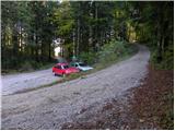
From highway Ljubljana - Celje we go to the exit Vransko. We continue driving on the old road in the direction of Ljubljana, but only to a spot, where the road towards Vransko branches off to the right. On the west side of Vransko we will notice a road which goes towards the village Prapreče and Vologa. The road that starts ascending steeper we follow through the village Vologa to a saddle Lipa, where we park on one of the parking lots.
Possible is also access from the valley Zadrečka dolina.
Path description:
From the parking lot, we go on a macadam road in the direction of Smolnik and Menina planina. Moderately steep road which all the time runs through the forest, after good 10 minutes of walking, it brings us to a marked crossroad, where we continue left. The road ahead slightly flattens, and then it continues by crossing the slopes of Smolnik. After a time we will by the road notice signs for Smolnik (sharply right), and we continue on a macadam road which gradually starts gently descending. A little further, the marked path cuts a longer turn, and then it returns on the road, where starts descending steeper. Next follows smaller ascent, and then the road descends to a lonely farm Jeseničnik, where from the left joins the path from the village Vologa.
We continue through the yard, after that at business building we continue right on a cart track. Cart track then ascends diagonally towards the left, and in doing so it crosses panoramic grassy meadow, from which a nice view opens up on Posavsko hribovje. When the path passes into the forest, turns sharply to the right, and is then a little steeper ascending until we get on a bad forest road. A little further from the mentioned road, wide cart track branches off slightly to the left, and after few minutes of additional walking brings us on extensive grassy slopes named Slopi.
Here on the right side we notice a lonely house, and we continue in the same direction and over poorly visible cart track we walk to the middle of a grassy slope. Here we run into a little wider cart track which we follow to the right and in a gentle descent, we descend there to a smaller hamlet. Here we stride across the grazing fence and we step on the road which we follow towards the west. The road then on the right side bypasses hamlet and after few steps of additional walking brings us to a crossroad by which stands a smaller cross. At the cross we continue straight (direction Biba), but on the left road, and it slowly starts ascending. After a short gentle ascent road brings us into the forest, and blazes here point us to the right on a steep footpath. The mentioned footpath soon crosses a wide cart track, and then continues on quite overgrown and already abandoned cart track. Higher, we join a wider cart track which we then follow all the way until we get out of the forest (because cart track has some crossings we carefully follow the blazes). When we step out of the forest, the path turns to the right and after few minutes of additional walking brings us on a macadam road which leads on Menina planina. We continue the ascent on the mentioned road, and at first, it offers nice views on surrounding hills. Relatively gentle road then leads us past the mountain pasture Limovska planina, and we follow it to the spot, where blazes point us to the right, over a grazing fence on a footpath. The footpath immediately turns to the left and by the edge of the forest quickly brings us to the cottage on the mountain pasture Biba planina.
On the way: Slopi (974m), Limovska planina (1265m)
Pictures:
 1
1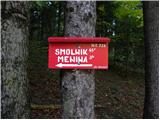 2
2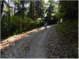 3
3 4
4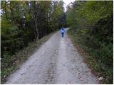 5
5 6
6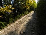 7
7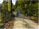 8
8 9
9 10
10 11
11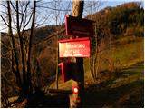 12
12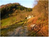 13
13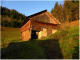 14
14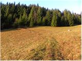 15
15 16
16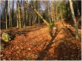 17
17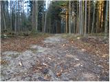 18
18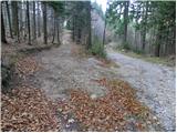 19
19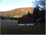 20
20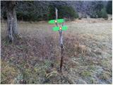 21
21 22
22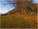 23
23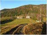 24
24 25
25 26
26 27
27 28
28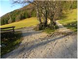 29
29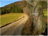 30
30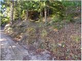 31
31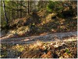 32
32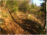 33
33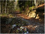 34
34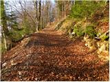 35
35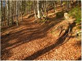 36
36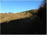 37
37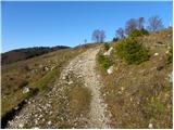 38
38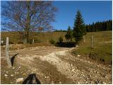 39
39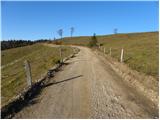 40
40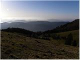 41
41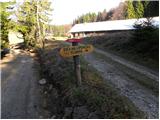 42
42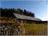 43
43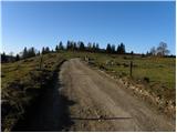 44
44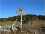 45
45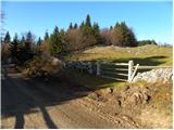 46
46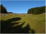 47
47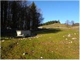 48
48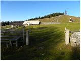 49
49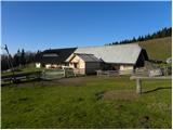 50
50 51
51