Ljubljana (Spodnji Rudnik) - Orle
Starting point: Ljubljana (Spodnji Rudnik) (345 m)
Starting point Lat/Lon: 46.0185°N 14.5492°E 
Time of walking: 40 min
Difficulty: easy marked way
Difficulty of skiing: no data
Altitude difference: 113 m
Altitude difference (by path): 115 m
Map: Ljubljana - okolica 1:50.000
Access to starting point:
From the Ljubljana ring road, we head to the exit Ljubljana - south, then at the intersection with Dolenjska cesta we continue right in the direction of the center of Ljubljana. After approximately 300 meters of driving on Dolenjska cesta, we turn right (we turn right after the bus turning loop and before the Petrol gas station) onto Rudnik I street, along which we then drive to the church of St. Simon and Jude Thaddaeus on Spodnji Rudnik.
We can also reach the starting point from the direction of the center of Ljubljana.
Path description:
From the parking lot in a few steps we descend to the ascending road (we descend to the road on which we came to the starting point), along it by the cemetery we ascend to the intersection, where we join a somewhat wider asphalt road that leads from the Petrol gas station on Rudnik towards Orle.
We continue on the ascending asphalt road, along which we notice a larger number of smaller wooden crosses and here and there some rare markings. Higher up the road flattens, and from the left a somewhat better marked path from Golovec joins us. The path ahead leads us past a hayrack and a picnic area, then soon we arrive in the municipality of Škofljica. A short walk follows, then at the smaller intersection at the beginning of the settlement Orle we continue left towards the nearby inn Orle, from which a beautiful view opens up.
Pictures:
 1
1 2
2 3
3 4
4 5
5 6
6 7
7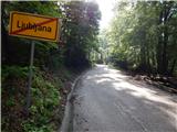 8
8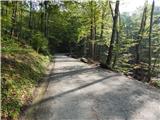 9
9 10
10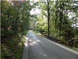 11
11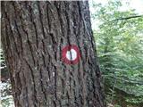 12
12 13
13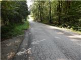 14
14 15
15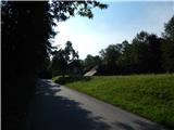 16
16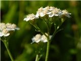 17
17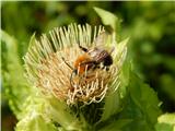 18
18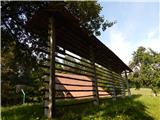 19
19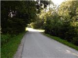 20
20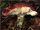 21
21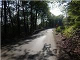 22
22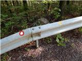 23
23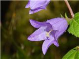 24
24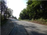 25
25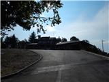 26
26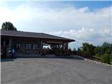 27
27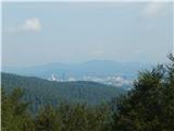 28
28