Ljubljana (Zalog) - Debenji vrh (Trda varianta)
Starting point: Ljubljana (Zalog) (276 m)
Starting point Lat/Lon: 46.0632°N 14.6245°E 
Path name: Trda varianta
Time of walking: 40 min
Difficulty: easy marked way
Difficulty of skiing: no data
Altitude difference: 254 m
Altitude difference (by path): 280 m
Map: Ljubljana - okolica 1:50.000
Access to starting point:
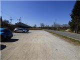
From the east Ljubljana bypass highway, we go to the exit Ljubljana - east and we continue driving on the road Zaloška cesta in the direction of Zalog. Further, we drive on the main road, and then only about 300 meters after we crossed the river Ljubljanica, we park on a settled macadam parking lot by the railway tracks.
Path description:
From the parking lot, we go through the underpass under the railway track above which there are signs »Debni vrh, Stari grad and Pečar«. Immediately after the underpass we continue left and after a short diagonal ascent, the path brings us to a crossing at a smaller stream.
We continue on the right path, but the left path also leads towards Debni vrh. From the crossing, we at first ascend steeper by the mentioned small stream, after that the path turns to the right. The path becomes less steep and it quickly brings us to the left turn where there is another crossing.
Here we leave a wider well-beaten path and we go right on a narrower steep footpath where signs »Trda varianta - Debni vrh« point us to. The path here very steeply ascends and brings us on the ridge of Kašeljski grič. Further, the path runs on the ridge and is for quite some time still very steeply ascending. The path is here marked with red lines and all the time runs through the forest. Higher, the steepness slightly decreases and it brings us on an indistinct peak on the ridge of Kašeljski grič. Next follows a shorter descent, after that from the left joins the normal less steep path.
Further, the path still runs on a forested ridge and few times slightly ascends and descends. Occasionally through the forest also a little bit of a view opens up mainly in the direction towards Ljubljana. We still continue on the ridge and from the left joins also the path from old castle Osterberg. Next follows a little steeper ascent where we will by the path notice a cross or a chapel in a hollow tree trunk. The path then brings us to the summit, in the middle of which stands a wooden lookout tower.
On the way: Kašeljski hrib (483m)
Pictures:
 1
1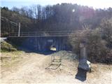 2
2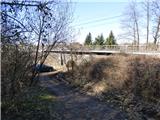 3
3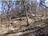 4
4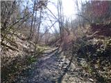 5
5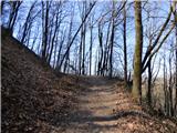 6
6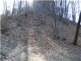 7
7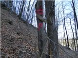 8
8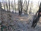 9
9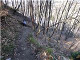 10
10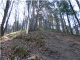 11
11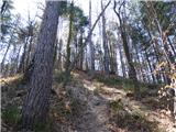 12
12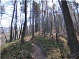 13
13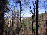 14
14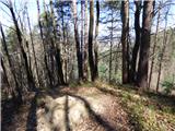 15
15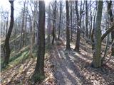 16
16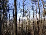 17
17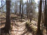 18
18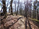 19
19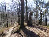 20
20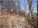 21
21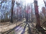 22
22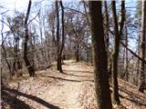 23
23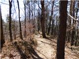 24
24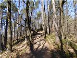 25
25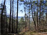 26
26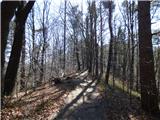 27
27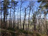 28
28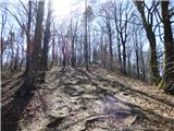 29
29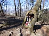 30
30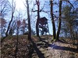 31
31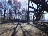 32
32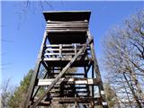 33
33 34
34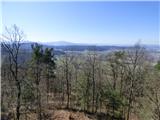 35
35 36
36 37
37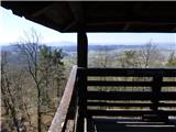 38
38