Starting point: Lokve (946 m)
Starting point Lat/Lon: 46.012°N 13.7922°E 
Time of walking: 40 min
Difficulty: easy marked way
Difficulty of skiing: no data
Altitude difference: 236 m
Altitude difference (by path): 236 m
Map: Goriška - izletniška karta 1:50.000
Access to starting point:
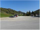
From Nova Gorica, Most na Soči or Predmeja we drive to Lokve, where on a large parking lot by a smaller ski slope we park.
Path description:
From the parking lot, we go on an asphalt road in the direction of the mountain hut Dom na Lazni, and we follow the mentioned road to the last holiday cottage on Lokve. Behind the last house, a wide cart track branches off to the left (by the beginning of the cart track there is also an information board), by which we soon notice first blazes. We ascend on the mentioned cart track, it turns to the left and it brings us to a marked crossing, where we continue sharply right in the direction of the summit Škol and hamlet Lazna (straight continues the path with sign Z, which means "Pot za zidom" (path behind the wall), which leads around Lokev).
The path ahead ascends diagonally towards the right, and then turns slightly to the left and at the next crossing entirely flattens. At this spot, we leave the path which leads on Lazna and we continue left in the direction of the peak Škol. The path ahead is at first gently, and then steeper and steeper ascending through the forest. Higher, an old cart track brings us on the ridge of Škol, where it changes into a footpath and for some time entirely flattens. And after few meters of a gentle path, the slope and also the path, become much steeper, and we follow the steep path to the peak, and we reach it after 5 minutes of additional walking.
Pictures:
 1
1 2
2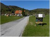 3
3 4
4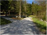 5
5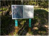 6
6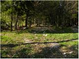 7
7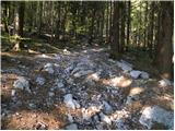 8
8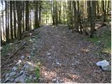 9
9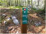 10
10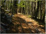 11
11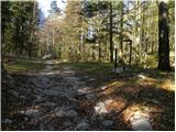 12
12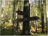 13
13 14
14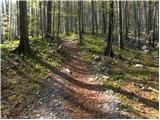 15
15 16
16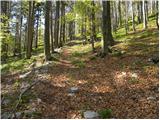 17
17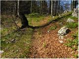 18
18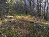 19
19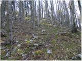 20
20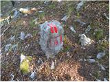 21
21 22
22 23
23 24
24 25
25 26
26