Lokvica - Stjenkova koča on Trstelj
Starting point: Lokvica (310 m)
Starting point Lat/Lon: 45.8695°N 13.6155°E 
Time of walking: 4 h 5 min
Difficulty: easy marked way
Difficulty of skiing: no data
Altitude difference: 300 m
Altitude difference (by path): 725 m
Map: Goriška - izletniška karta 1:50.000
Access to starting point:
On the highway through the Vipava Valley we drive to the border crossing Vrtojba, then in the larger roundabout, which is located on the Italian side of the border, we continue towards the village Miren (we can also reach the village Miren if we drive on the regional road from Šempeter pri Gorici towards Dornberk. In this case in Volčja draga we continue right or left, if we came from Dornberk. From the village Miren we continue driving towards the village Opatje Selo. After a few hairpin turns signs for Cerje point us to the left on a macadam road, which we then follow to the parking lot, that is located only a few minutes below the monument Veliko Cerje.
Path description:
From the parking lot, we continue on the macadam road closed to traffic, on which in 5 minutes of walking we ascend to the monument Veliko Cerje.
From the monument we continue right on at first a wide path in the direction of Fajti hrib. The path ahead at first slightly descends, then gently ascends over gentle and at first also quite scenic slopes. The path then passes into a mostly pine forest, where it continues with some shorter ascents and descents. After some time we cross a forest road, then continue the ascent on a narrower and in several parts thorn-surrounded mountain path. Higher the forest thins and a moderately steep path brings us to Fajti hrib, on which there is a smaller information board in memory of the First World War.
From Fajti hrib we descend through a young pine wood (here we still have nice views) to a saddle between the already mentioned peak and Veliki vrh. On the saddle we cross a wide cart track, then we start to ascend the 463 m high Veliki vrh, which we reach after approximately 20 minutes of ascent through forest and bushes.
From Veliki vrh follows an approximately 100 elevation meters long descent, which ends on the next cart track. We continue on the marked path, which past a decaying bench leads us into a dense forest, where it starts to ascend moderately. After approximately 15 minutes of ascent we step on Renški vrh 449 m.
A relatively gentle descent follows on the path, which quickly brings us to an asphalt road, which we only cross. We continue the ascent in the direction "Trstelj po vrhovih" on a quite overgrown mountain path, which after approximately 20 minutes of ascent brings us to the forest-covered peak of Vrtovka.
From Vrtovka we continue on a path that gently descends towards the east. Already after a few minutes of descent the path brings us to a macadam road, which we follow for a few minutes, then the marks direct us right onto a footpath, which gradually starts to ascend more steeply. Higher the path levels out and past caverns brings us to Lešenjak.
From the peak we continue in the direction of Trstelj on the path, which starts descending towards the east. After a few minutes we cross a power line, then join a poor macadam road. We follow the road for a few minutes, then the marks direct us left onto a relatively steep footpath, on which in a few minutes we ascend to Stolovec.
From Stolovec the path in a few minutes of descent brings us to a poor forest road, on which we continue approximately 15 minutes, then signs for Trstelj direct us onto an ascending footpath. A moderately steep path then quickly brings us to the forepeak of Stol, which we recognize by the larger cairn, but we continue on the marked path, which for a short time descends, then in a gentle ascent brings us to the summit of Stol.
From Stol we descend to a smaller saddle, where there is a bench and a small cross, then on a moderately steep path in a few minutes we ascend to panoramic Trstelj.
From the summit we descend on the road, which after a few steps we leave and continue right downwards on a footpath, which after two minutes of descent brings us to the hut.
Pictures:
 1
1 2
2 3
3 4
4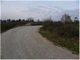 5
5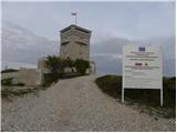 6
6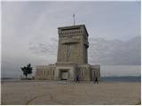 7
7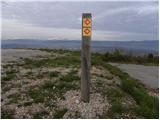 8
8 9
9 10
10 11
11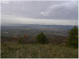 12
12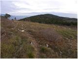 13
13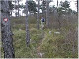 14
14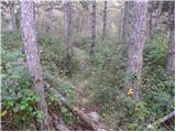 15
15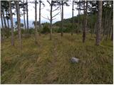 16
16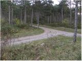 17
17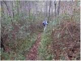 18
18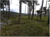 19
19 20
20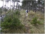 21
21 22
22 23
23 24
24 25
25 26
26 27
27 28
28 29
29 30
30 31
31 32
32 33
33 34
34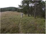 35
35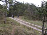 36
36 37
37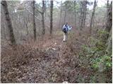 38
38 39
39 40
40 41
41 42
42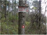 43
43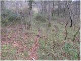 44
44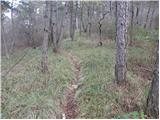 45
45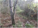 46
46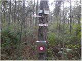 47
47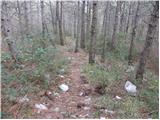 48
48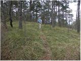 49
49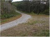 50
50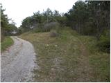 51
51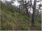 52
52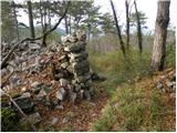 53
53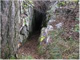 54
54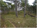 55
55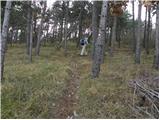 56
56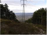 57
57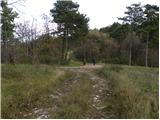 58
58 59
59 60
60 61
61 62
62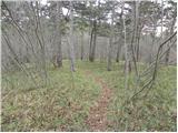 63
63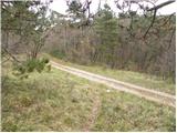 64
64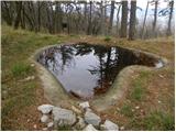 65
65 66
66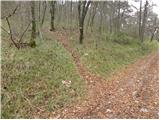 67
67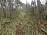 68
68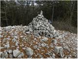 69
69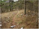 70
70 71
71 72
72 73
73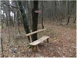 74
74 75
75 76
76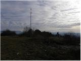 77
77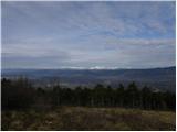 78
78 79
79 80
80 81
81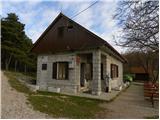 82
82