Loška Koritnica - Mangart
Starting point: Loška Koritnica (780 m)
Starting point Lat/Lon: 46.4147°N 13.6295°E 
Time of walking: 7 h
Difficulty: very difficult marked way
Ferrata: B/C
Difficulty of skiing: very demanding
Altitude difference: 1899 m
Altitude difference (by path): 2000 m
Map: Julijske Alpe - zahodni del 1 : 50.000
Access to starting point:
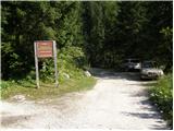
From Bovec, we drive towards the border crossing Predel. In the village Log pod Mangartom, immediately after the bridge over Predilnica we turn right in the direction of Koritnica. At first asphalt after that macadam road quickly brings us to the parking lot at the beginning of entrance into the main part of TNP.
Path description:
We go on the right road which is closed with the gate. The road all the time runs near the stream and few times also crosses it. Towards the end road is becoming narrower and past few houses brings us to a crossing. We go slightly to the right on a footpath following the signs Jalovec, Mangrt (left Planina Brdo). The path then goes into the forest and soon the path branches off to the right towards the saddle Čez Brežice and forward towards Zavetišče pod Špičkom. Out of the forest path brings us on grassy slopes and on the left side of the path, we will notice a hunting cottage. For some time we still walk on a grassy terrain, and then we come again for a short time in the forest. When we come out of the forest we will soon on the left side notice a smaller waterfall. Again we are ascending on a grassy terrain by the riverbed of a torrent and all the time we have beautiful views on surrounding peaks (Briceljk, Jalovec, Mangart, Vevnica). From grassy slopes we then slowly come on the scree, which brings us to a crossing of paths. The path branches off to the right towards the saddle Kotovo sedlo, and we continue to the left towards Mangart. We are ascending on the scree below the walls of Vevnica towards the north. At the end of the scree we turn left and with the help of some steel cables, we ascend to a little steeper south slopes partly covered with grass. Still in a gentle ascent, we cross increasingly steep slopes towards the west. When we get closer to the ridge we come from grassy slopes in a little more demanding part of the path. By the steel cable we cross a slightly exposed slope towards the west, which brings us to a little poorly visible crossing. Right on a ridge path branches off towards the bivouac Tarvisio and forward towards Vevnica. We continue on the left path towards Mangart. We soon come on a smaller notch from where a view opens up on the northern side towards lakes Belopeška jezera. Next follows a short descent with the help of some steel cables and iron spikes, and then after a shorter crossing path brings us to a window. The path goes through the window and it brings us to vertical descent into notch Huda škrbina. This part of the path is also well-secured with iron spikes and a steel cable. From the notch, we then continue with the crossing of steep slopes towards the west, which are in the beginning well-secured with a steel cable. Later when we come on very steep and grassy slopes path isn't secured and especially in wet it is very dangerous for slipping. The path is then ascending on steep grassy slopes towards the west and brings us on the border ridge. The path becomes less exposed and soon brings us to a crossroad, where we join the Italian path from the saddle Mangartsko sedlo. At the crossroad, we continue slightly to the left and follows an ascent on a panoramic slope. Then we cross the gully and to the top we have only the last steepness which we overcome in zig-zags.
On the way: Huda škrbina (2401m)
Pictures:
 1
1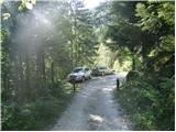 2
2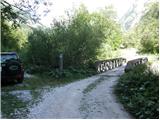 3
3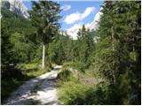 4
4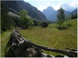 5
5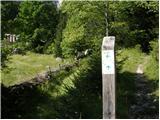 6
6 7
7 8
8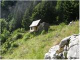 9
9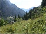 10
10 11
11 12
12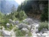 13
13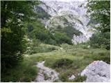 14
14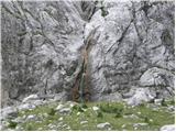 15
15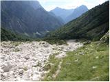 16
16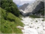 17
17 18
18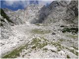 19
19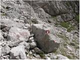 20
20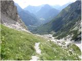 21
21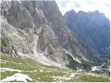 22
22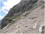 23
23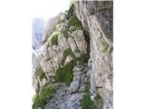 24
24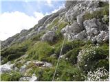 25
25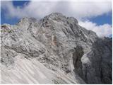 26
26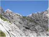 27
27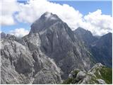 28
28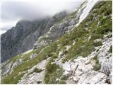 29
29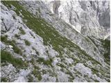 30
30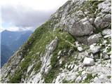 31
31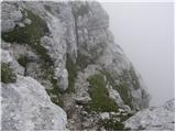 32
32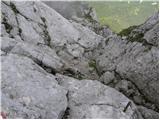 33
33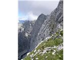 34
34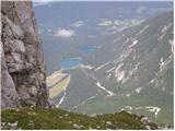 35
35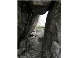 36
36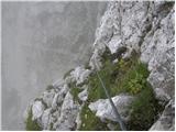 37
37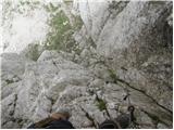 38
38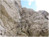 39
39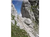 40
40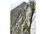 41
41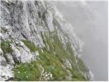 42
42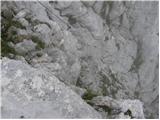 43
43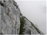 44
44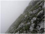 45
45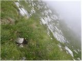 46
46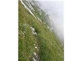 47
47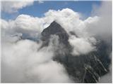 48
48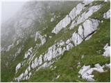 49
49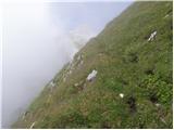 50
50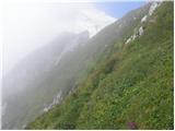 51
51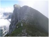 52
52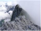 53
53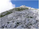 54
54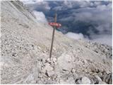 55
55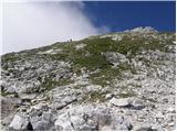 56
56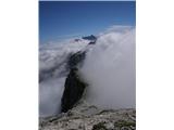 57
57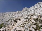 58
58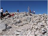 59
59