Makole - Plešivec (at Boč) (via Formila)
Starting point: Makole (255 m)
Starting point Lat/Lon: 46.31815°N 15.66701°E 
Path name: via Formila
Time of walking: 3 h 15 min
Difficulty: easy marked way, easy unmarked way
Difficulty of skiing: no data
Altitude difference: 567 m
Altitude difference (by path): 600 m
Map:
Access to starting point:
A) We drive to Poljčane, and then we follow the signs for Majšperk and Makole. In the settlement Stranske Makole or a little after the settlement Stranske Makole we turn right towards Makole, where in the center of the settlement, we park on a marked parking lot at the cemetery.
B) We drive to Slovenska Bistrica, and then we go on the road in the direction towards Makole. We further follow the signs for Makole, and we park on a marked parking lot at the cemetery in the center of the settlement.
C) From Ptuj we follow the signs for Majšperk, and when we get to Majšperk we follow the signs for Makole. When we get to Makole we park on a marked parking lot at the cemetery.
Path description:
From the parking lot, we walk to the main road and we continue right to the nearby roundabout, from which we go on the road, by which there are signs for Jelovec pri Makolah and Sveti Urban.
We continue on a little narrower road which leads us across the stream Jelovški potok. Makole a little ahead ends, and from the crossroad with dead-end street we continue left, where first blazes show up. We continue on the asphalt road which a little ahead ascends through the forest and then leads past few houses. Further from the road a nice view opens up, and at few crossroads we follow the signs and blazes. Higher, the road leads us past the chapel of St. Urban, and at few crossroads we still follow the blazes. Eventually we go from the asphalt road left on a macadam road which for some time descends a little, and from there we go right on a cart track which ascends by the edge of the forest. The path ahead few minutes leads through the forest, and when we leave the forest we go right, so that we bypass the nearby homestead on the right side, and when we reach the asphalt road we go left. Again follows some descent, and at the farm Domišak the road returns into the forest and starts ascending. In the forest, we go from the road right on a cart track, on which we are diagonally ascending. When we leave the cart track, from which for some time a nice view opens up on Boč, we step on the road which we follow to the right (left - Plešivec). On the road, we don't walk long, because blazes point us slightly to the left, on a cart track which ascends diagonally towards the right, and higher at the crossings we follow it in the direction of the blazes. In the vicinity of the peak Kisovec the path starts descending and brings us on a worse road, on which we lightly descend to Formila.
Here we go twice left, and we are then ascending on a macadam road through the forest. Already after few minutes we will on the left side of the road notice signs for partisan hospital, which leads to the spot, where used to be a partisan hospital.
From the former partisan hospital we return to the road, then continue an easy ascent along it. After a few minutes, signs for Donačka gora direct us from the road to the right onto a cart track, along which we continue the ascent through the forest. After slightly more than ten minutes of a moderate ascent, we reach another road, which we follow to the left (to the right Boč). Along the mentioned road, we walk only briefly, as blazes opposite the "football field" direct us to the left, where we quickly ascend to the hunting lodge Rogaška Slatina, where we reach another road. Behind the lodge, past the homestead Gavez, we descend to a small saddle, where from the crossroad we continue along the slightly left road (to the right, the road leads toward Rogaška Slatina). Next follows a short ascent along the forest road, and from the crossroad we go right (slightly left Makole - an option to descend back to the starting point), and shortly after, turn right again onto a cart track, along which we arrive at a marked crossing, where we join the path from Rogaška Slatina or Cerovec pod Bočem.
Next follows some easy walking through the forest, and then we ascend a little more for a while. After the hunting observatory, the path flattens, and we follow the cart track at several crossings in the direction of the blazes.
When we notice a hunting observatory and a feed site for wild animals on the left side, we leave the marked path and start ascending by the feed site towards the summit of Plešivec. At first, we can still follow a poorer footpath, but to the highest point of Plešivec, we ascend on easier pathless terrain.
The unmarked path and pathless terrain together take approximately 5 minutes.
Makole - Formila na Boču 2:00, Formila na Boču - partisan hospital 0:05, partisan hospital - Plešivec 1:10.
Description and pictures refer to a condition in May 2022 and January 2023.
Pictures:
 1
1 2
2 3
3 4
4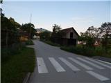 5
5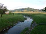 6
6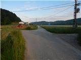 7
7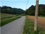 8
8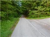 9
9 10
10 11
11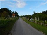 12
12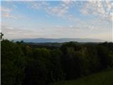 13
13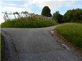 14
14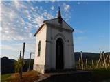 15
15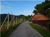 16
16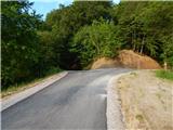 17
17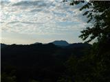 18
18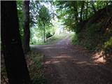 19
19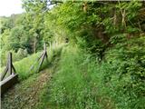 20
20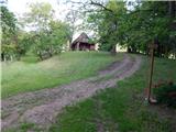 21
21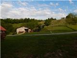 22
22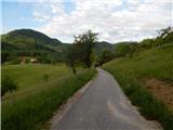 23
23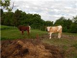 24
24 25
25 26
26 27
27 28
28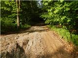 29
29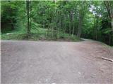 30
30 31
31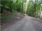 32
32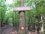 33
33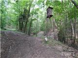 34
34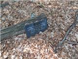 35
35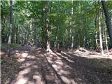 36
36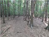 37
37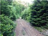 38
38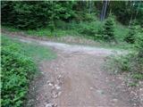 39
39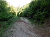 40
40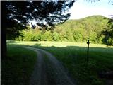 41
41 42
42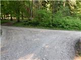 43
43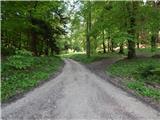 44
44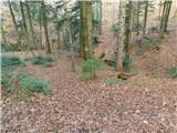 45
45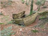 46
46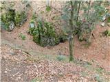 47
47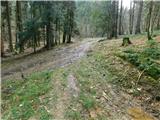 48
48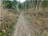 49
49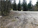 50
50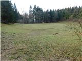 51
51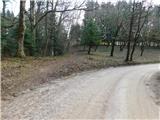 52
52 53
53 54
54 55
55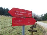 56
56 57
57 58
58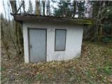 59
59 60
60 61
61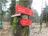 62
62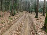 63
63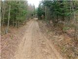 64
64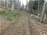 65
65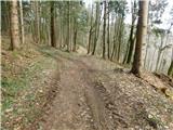 66
66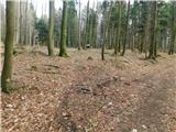 67
67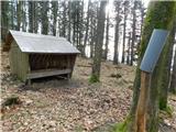 68
68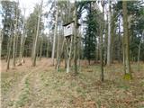 69
69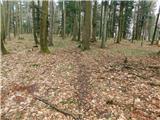 70
70 71
71 72
72