Starting point: Martinjak (600 m)
Starting point Lat/Lon: 45.7784°N 14.4033°E 
Time of walking: 1 h 15 min
Difficulty: easy marked way
Difficulty of skiing: demanding
Altitude difference: 514 m
Altitude difference (by path): 514 m
Map: Snežnik 1:50.00
Access to starting point:
From highway Ljubljana - Koper we go to the exit Unec and follow the road ahead in the direction of Cerknica. From Cerknica, we continue on the main road towards Bloke and Lož, and then in the village Martinjak, just before the car wash, we turn left on a narrow road which is ascending by a small stream upwards. Higher, the road turns to the left, for some time steeply ascends, and then it brings us to a crossroad, where we continue right. Further, we drive few 10 meters and then we park on an appropriate place near the water catchment.
Path description:
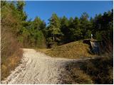
Near the starting point, we look for a footpath (beginning of the path isn't marked), which at first ascends parallel with the road, and then turns slightly to the left and it gradually starts ascending steeper and steeper. The path which is further quite steeply ascending, higher slightly flattens and then it brings us to a marked crossing, where the path branches off to the left towards the monument. We continue straight (left monument 1 minute) on again steeper path, which then joins the path from Grahovo.
We continue left on the path which is diagonally ascending on the more and more panoramic slopes Slivnica. The path, from which beautiful views opening up on Snežnik, Cerkniško Polje and the ridge of Javorniki, only a little further brings us to the next crossing.
Here we go right (straight mountain hut Dom na Slivnici 3 minutes) and we continue the ascent on an already mentioned grassy slope. Higher, we cross a lane of bushes, and then by the edge of it in few 10 strides of additional walking, we ascend to the summit of Slivnica.
Pictures:
 1
1 2
2 3
3 4
4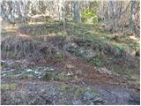 5
5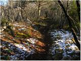 6
6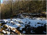 7
7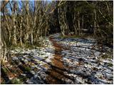 8
8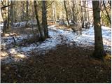 9
9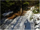 10
10 11
11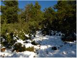 12
12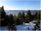 13
13 14
14 15
15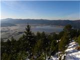 16
16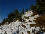 17
17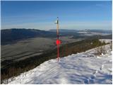 18
18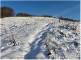 19
19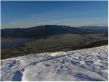 20
20 21
21 22
22 23
23 24
24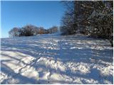 25
25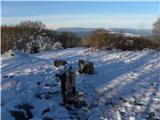 26
26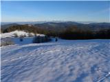 27
27