Mihov dom na Vršiču - Erjavčeva koča na Vršiču (footpath)
Starting point: Mihov dom na Vršiču (1085 m)
Starting point Lat/Lon: 46.4439°N 13.7727°E 
Path name: footpath
Time of walking: 1 h 30 min
Difficulty: easy marked way
Difficulty of skiing: easily
Altitude difference: 440 m
Altitude difference (by path): 440 m
Map: Kranjska Gora 1:30.000
Access to starting point:
From Kranjska Gora, we drive towards Bovec or vice versa, but only to the mountain hut Mihov dom na Vršiču, where we park (parking lot is located between 4th and 5th hairpin turn).
Path description:
From the parking lot, we continue on the road, and after few steps of walking, it brings us to Mihov dom na Vršiču.
We continue the ascent on the zig-zag road, where only few steps after the eighth turn we come to a smaller crossing, where the path branches off to the left towards Russian chapel. After a short ascent on stairs, we come to the mentioned chapel, and here we continue a little to the right, where in few steps we again step on Vršič road. We continue the ascent on the road, from which a little higher marked path towards the mountain hut Erjavčeva koča branches off to the right.
We continue right and the path already after few steps of additional walking brings us to the next crossing, where we continue on the left path (right unmarked path on Kumlehova glava and Visoki Mavrinc). A badly marked path a little higher crosses a well, and then turns to the left, where it is then for quite some time ascending through the forest. Higher, we step out of the forest, and the path only a little further brings us to the road Vršič or Ruska cesta. The mentioned road or shortcut we then follow all the way to the mountain hut Erjavčeva koča na Vršiču, which we reach after few minutes of additional walking.
Trip can be extended to: Križ
Pictures:
 1
1 2
2 3
3 4
4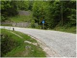 5
5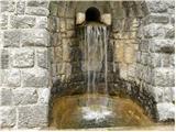 6
6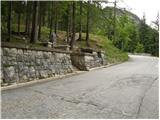 7
7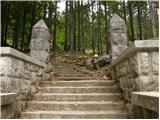 8
8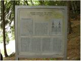 9
9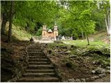 10
10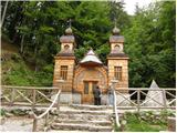 11
11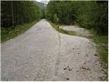 12
12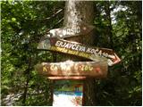 13
13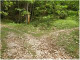 14
14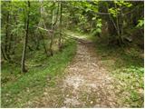 15
15 16
16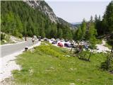 17
17 18
18