Moravske Toplice - Plečnik's church (Bogojina)
Starting point: Moravske Toplice (190 m)
Starting point Lat/Lon: 46.6851°N 16.21835°E 
Time of walking: 2 h 30 min
Difficulty: easy marked way
Difficulty of skiing: no data
Altitude difference: 8 m
Altitude difference (by path): 200 m
Map: Pomurje 1:40.000
Access to starting point:
A) We leave Pomurska highway at exit Gančani, and then we follow the signs for Bogojina and Moravske Toplice. In Bogojina we go left and we drive to Moravske Toplice, where we park on one of the many parking lots.
B) We drive to Murska Sobota, and then we follow the signs for Moravske Toplice. When we get to Moravske Toplice, we park on one of the parking lots in the center of the settlement.
Path description:
From the parking lot, we walk to evangelical church in Moravske Toplice, and then we continue on a sidewalk in the direction of Dobrovnik, and by the main road, we walk only to the first crossroad, where after the flower shop Cvetličarna Lanen cvet we continue left, where also the blazes point us to. We continue straight to the end of street, and then we go right towards Bogojina (left - Selo and Kančevci). Further, we still walk on a sidewalk, and after few minutes, the signs for Bogojina point us to the left, and a little further at the pedestrian crossing we go slightly right in the direction of the blazes. The path ahead leads us also past the fire station, little a little ahead we leave the sidewalk and we continue slightly right in the direction of apartments Notik. Further, we go past few more houses, and at the end of the settlement, trail blazes lead us over a small bridge on a cart track which continues through the field. When we reach an asphalt road, we go right, and a little further left on a macadam road, and from which a little ahead we go sharply right. The lane of a forest through which we for some time walked we quickly leave and between the fields we reach the next crossing, where we go right. Next follows an easy descent, and then we go left and we still continue between the fields. At the next crossing signposts point us to the left, and when we reach the bottom edge of vineyards we go right, where we continue on a grassy cart track. When among the vineyards a passage opens up we go left and on a marked path we ascend steeper to an asphalt road which at the crossroads we follow straight. Also, when we get to a crossing of the priority road we continue straight and we continue on the dead-end street. At the end of few houses the road ends, and we continue in the same direction and further we walk on a cart track. Signs for Pomurje mountain trail a little ahead point us to the right into the forest, where we descend a little, and when we reach a grassy cart track we go left. The cart track quickly brings us into the forest, where we follow the blazes, and we walk on a poorly visible footpath. Lower, we cross the stream over a small bridge, and then we leave the forest and through a meadow we ascend by the field to the edge of the forest, where the path turns left and continues on a cart track between the fields. When we get to the route of a power line, the trail blaze on a pole points us right upwards, and through a meadow we ascend to the forest, where again the footpath appears, and blazes lead us a little towards the left.
At the bus stop Vučja Gomila we reach an asphalt road which we only cross. We continue by the house, and then by the fields. A little further, the path widens into a road, and at the crossroad, we continue straight, and at the next crossroad right, both times in the direction of a marked path. The path ahead starts descending by the fields, and lower we reach another road which we follow right. A little further, we go past another farm, behind which we continue the descent on a cart track which lower passes into the forest and flattens. Next follows few minutes of easy descent, and then we reach the macadam road, on which we continue in the direction of Bogojina. Next follows some walking on the macadam road, and when we reach an asphalt road, we are descending a little more. Lower, we reach the settlement Bogojina, where at the crossroads we continue straight, at the cemetery we go left, and at the nearby roundabout once again left. Next follows only a short easy ascent to Plečnik's church in Bogojina.
Description and pictures refer to a condition in February and November 2022.
On the way: Vučja Gomila (264m)
Pictures:
 1
1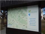 2
2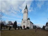 3
3 4
4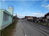 5
5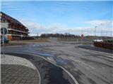 6
6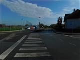 7
7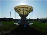 8
8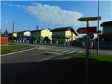 9
9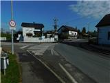 10
10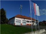 11
11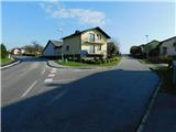 12
12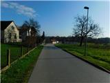 13
13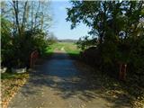 14
14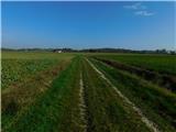 15
15 16
16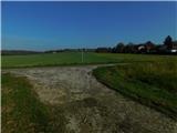 17
17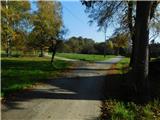 18
18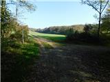 19
19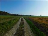 20
20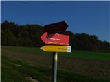 21
21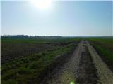 22
22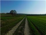 23
23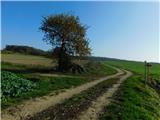 24
24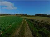 25
25 26
26 27
27 28
28 29
29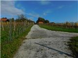 30
30 31
31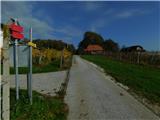 32
32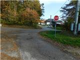 33
33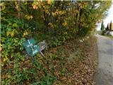 34
34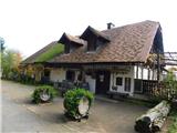 35
35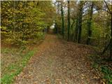 36
36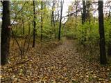 37
37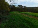 38
38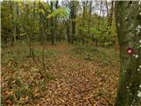 39
39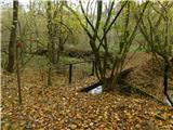 40
40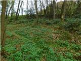 41
41 42
42 43
43 44
44 45
45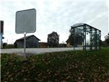 46
46 47
47 48
48 49
49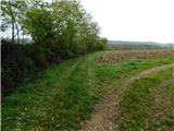 50
50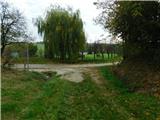 51
51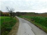 52
52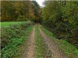 53
53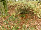 54
54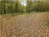 55
55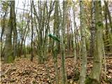 56
56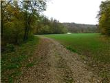 57
57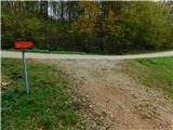 58
58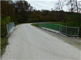 59
59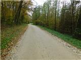 60
60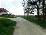 61
61 62
62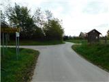 63
63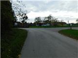 64
64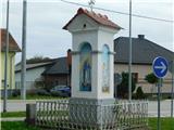 65
65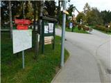 66
66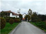 67
67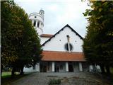 68
68