Mountain hut on farm Kumer - Sveta Ana in Koprivna
Starting point: Mountain hut on farm Kumer (1220 m)
Starting point Lat/Lon: 46.4874°N 14.7262°E 
Time of walking: 15 min
Difficulty: easy marked way
Difficulty of skiing: no data
Altitude difference: -2 m
Altitude difference (by path): 10 m
Map: Kamniške in Savinjske Alpe 1:50.000
Access to starting point:
A) First, we drive to Luče (to here from Kamnik over mountain pass Volovjek (Kranjski Rak) or from Štajerska highway and past Mozirje and through Ljubno ob Savinji), and then we continue driving in the direction of valley Logarska dolina. When we get to Solčava we leave the main road and we continue driving right towards Črna na Koroškem. Further, we drive on an ascending road which at the crossroads we follow in the direction of Črna na Koroškem and mountain pass Spodnje Sleme. From the mountain pass ahead the road starts descending, and we follow it to the spot, where we join the road Črna na Koroškem - Koprivna. Here we continue left and then at the next crossroad approximately 1 km ahead right towards the mountain hut on farm Kumer. Further, we are ascending by the stream Koprivna, and we follow the road to a crossroad, where the road branches off sharply to the left towards the earlier mentioned mountain hut. Here we continue left and we drive to the mentioned mountain hut.
B) From Koroška we at first drive to Črna na Koroškem, and then we continue driving towards Podpeca and Koprivna. At the crossroad, where a road towards Podpeca branches off to the right, we continue slightly left, and also at the next crossroad, where a road branches off to the right into a valley of Topla. Ahead we for some time still drive by the river Meža, and then we first get to a crossroad, where a road branches off to the left towards the mountain pass Spodnje Sleme and forward towards the valley Logarska dolina. Here we continue straight, and then at the next crossroad approximately 1 km ahead right towards the mountain hut on farm Kumer. Further, we are ascending by the stream Koprivna, and we follow the road to a crossroad, where the road branches off sharply to the left towards the earlier mentioned mountain hut. Here we continue left and we drive to the mentioned mountain hut.
C) First, we drive to Šoštanj, and then we continue driving on a winding road towards Črna na Koroškem. In Črna na Koroškem we continue left in the direction of Podpeca and Koprivna. At the crossroad, where a road towards Podpeca branches off to the right, we continue slightly left, and also at the next crossroad, where a road branches off to the right into a valley of Topla. Ahead we for some time still drive by the river Meža, and then we first get to a crossroad, where a road branches off to the left towards the mountain pass Spodnje Sleme and forward towards the valley Logarska dolina. Here we continue straight, and then at the next crossroad approximately 1 km ahead right towards the mountain hut on farm Kumer. Further, we are ascending by the stream Koprivna, and we follow the road to a crossroad, where the road branches off sharply to the left towards the earlier mentioned mountain hut. Here we continue left and we drive to the mentioned mountain hut.
Path description:
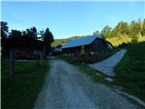
From the mountain hut, we continue in the direction of Olševa, and the path ahead still leads on the road. Behind the hut we at first bypass a chapel, a little ahead a cross, and later also a smaller hunting observatory. When the road which continues without large changes in altitude passes into the forest, it splits into two parts, and we continue on the left bottom road in the direction of Sveta Ana (slightly right Olševa). From the crossroad follows only about a minute of walking and we already get to the church of St. Ana with black Mary.
Description and pictures refer to a condition in the year 2016 (August).
Pictures:
 1
1 2
2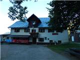 3
3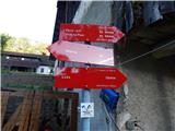 4
4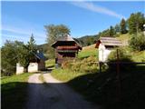 5
5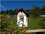 6
6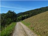 7
7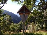 8
8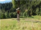 9
9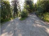 10
10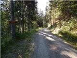 11
11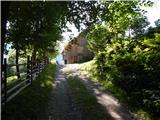 12
12 13
13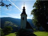 14
14 15
15