Nagybakónak - Hubertus vadászház (Kőszikla szurdok ut)
Starting point: Nagybakónak (170 m)
Starting point Lat/Lon: 46.55372°N 17.04373°E 
Path name: Kőszikla szurdok ut
Time of walking: 45 min
Difficulty: difficult marked way
Difficulty of skiing: no data
Altitude difference: 115 m
Altitude difference (by path): 140 m
Map:
Access to starting point:
Highway Pince/Tornyszentmiklos - Budimpešta/Budapest we leave at the exit Nagykanizsa kelet/Kaposvár. At two roundabouts we go in the direction of Kaposvár, and at the third we go in the direction of Zalakaros/Zalakomár. We continue on the mentioned road, but only to the turn-off for Nagyrécse, where we go left. We continue through the settlement, and after the settlement we go left in the direction of Galambok, and at the next crossroad, we go right towards the settlement Nagybakónak.
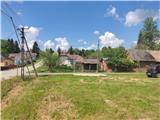
When we get to the mentioned settlement, we will notice signs for Forrás, which bring us on a grassy parking lot, where we park.
Path description:
From the parking lot, we continue forward towards the west, and the orientation is easy, because the huge TV tower, which is located little north from our destination is clearly visible from the path. The road further passes among fields, and the asphalt ends. Little further we get to a crossing, where the path by sources branches off to the left, and we go right (here on the left there is one more parking lot).
The path continues along the fence, but only about hundred meters and then we will on the tree notice a green signpost, where we go left on a meadow, where the path leads us past the hunting observatory (on this part the blazes are in bad condition). When a little further we come into a dense forest, we get help from a tourist sign.
The path ahead brings us to hill Kőszikla, where it becomes technically demanding. After some walking, we get to the first ladder, on which we descend on a rocky steepness, and on next ladders we are ascending. The path ahead for some time leads by the riverbed of the stream, where there are some fallen trees.
Next follows the most interesting part of the path which is also technically most difficult. The path ahead leads us through a rocky groove, which is secured with a metal ladder, and when we ascend to the top, the hardest part of the path is behind us.
The path ahead passes on a cart track, and in front of us, we again see large transmitter tower.
Here some choose a shortcut, but we continue left on a cart track which brings us on a wider macadam road. Here we join the path which leads by sources and one path from the village Újudvar.
We continue right and we get to an asphalt road, on which we continue towards the north. The path ahead leads us past a cross. We leave the road, when we notice signs for the cottage, which point us slightly downwards. Next follows two more minutes of walking and we get to the cottage, where from the terrace a nice view opens up towards the west.
Pictures:
 1
1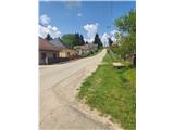 2
2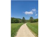 3
3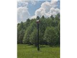 4
4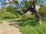 5
5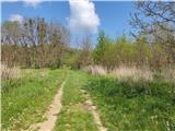 6
6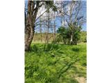 7
7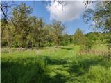 8
8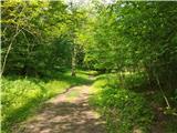 9
9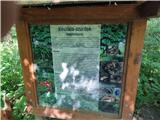 10
10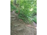 11
11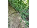 12
12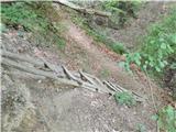 13
13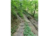 14
14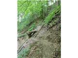 15
15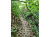 16
16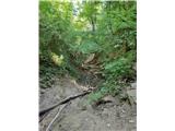 17
17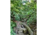 18
18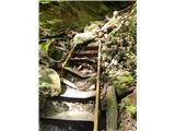 19
19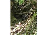 20
20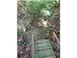 21
21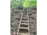 22
22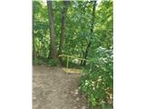 23
23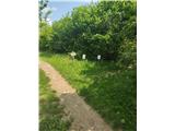 24
24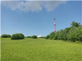 25
25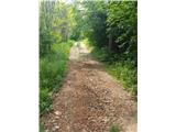 26
26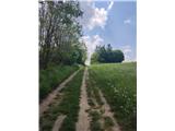 27
27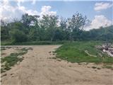 28
28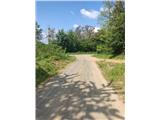 29
29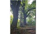 30
30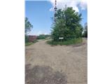 31
31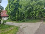 32
32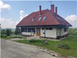 33
33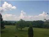 34
34