Nova Štifta - Dom na Travni Gori
Starting point: Nova Štifta (624 m)
Starting point Lat/Lon: 45.7451°N 14.6631°E 
Time of walking: 45 min
Difficulty: easy marked way
Difficulty of skiing: easily
Altitude difference: 282 m
Altitude difference (by path): 300 m
Map:
Access to starting point:
We drive on a regional road from Ljubljana towards Kočevje or vice versa. At the village Žlebič we will notice signs for Nova Štifta and Sodražica, which point us to the right (and from Kočevje and Ribnica left). Ahead we drive to the village Lipovščica, where a sign for Nova Štifta points us left upwards on an ascending road. We follow this road to the parking lot near the church in Nova Štifta.
Path description:
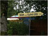
From the parking lot near the church we continue on the road in the direction of the mountain hut Dom na Travni gori. Already after few ten strides of walking road brings us on first crossroad, where we continue straight (left downwards, village Ravni Dol). We continue walking on a gently sloping macadam road which past the quarry brings us to the next crossroad, where we continue straight on a footpath (footpath is situated between the both roads). The path ahead is at first moderately, after that relatively steeply ascending through a dense forest. The path higher crosses a forest road and after a shorter ascent again joins it. Here we continue left on the road which we after few ten strides leave because blazes point us left on a cart track. Cart track at first gently ascends over partly overgrown meadow, and then it brings us to the chapel and NOB monument. Next follows a short light descent and the path again brings us to a macadam road which we follow to the left. Only a little further, the road splits, and we continue left on the bottom road which in two minutes of walking, it brings us to the mountain hut Dom na Travni Gori.
Pictures:
 1
1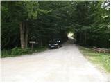 2
2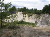 3
3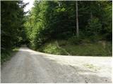 4
4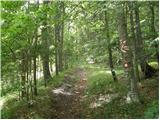 5
5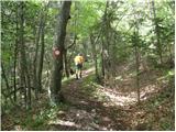 6
6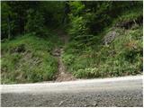 7
7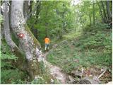 8
8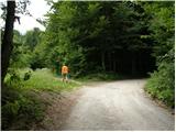 9
9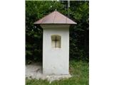 10
10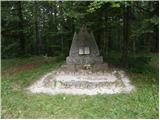 11
11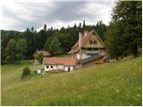 12
12