Starting point: Ocinje (292 m)
Starting point Lat/Lon: 46.82254°N 16.00183°E 
Time of walking: 15 min
Difficulty: easy unmarked way
Difficulty of skiing: no data
Altitude difference: 60 m
Altitude difference (by path): 60 m
Map: Pomurje 1:40.000
Access to starting point:
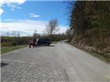
We drive to Gederovci (to here from Murska Sobota or Radenci), and then we continue driving towards Kuzma. After Rogašovci we get to Nuskova, and a little further to Serdica, where signs for Ocinje point us to the left. Further, we ascend on a small saddle, from which we descend into Ocinje. Next follows a more distinct left turn, and then we go right, where we park on a parking lot below the cemetery.
Path description:
From the parking lot, we go on a macadam road which continues towards the northwest. At first, we are ascending by a pine forest, and after the bee house we get among the fields, from where a nice view opens up on Goričko. Higher, the road flattens, and at the crossing, we choose the right road. Next follows few minutes of panoramic ascent, and when the road reaches the highest point, we get to Apneni breg.
Description and pictures refer to a condition in April 2021.
Pictures:
 1
1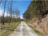 2
2 3
3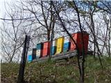 4
4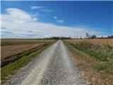 5
5 6
6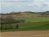 7
7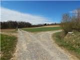 8
8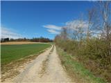 9
9 10
10 11
11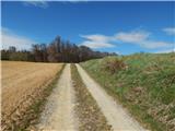 12
12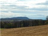 13
13