Oplotnica - Sveti Mohor (Lačna Gora)
Starting point: Oplotnica (370 m)
Starting point Lat/Lon: 46.38692°N 15.44683°E 
Time of walking: 45 min
Difficulty: easy marked way
Difficulty of skiing: no data
Altitude difference: 232 m
Altitude difference (by path): 232 m
Map: Pohorje 1:50.000
Access to starting point:
A) From highway Ljubljana - Maribor we go to the exit Slovenske Konjice, and then we follow the signs for Slovenske Konjice. From the roundabout after OMV gas station we turn to the first exit right towards Slovenska Bistrica, towards Slovenska Bistrica we drive to the turn-off of the road to the left towards Oplotnica and Osankarica. We turn towards Oplotnica and on the road we drive to the center of the settlement, where we park on one of the many parking lots in the settlement.
B) From highway Maribor - Ljubljana we go to the exit Slovenska Bistrica - south, and then we follow the signs for Slovenske Konjice. Soon after Slovenska Bistrica we turn right in the direction of Oplotnica, and then we drive to the center of Oplotnica, where we park on one of the many parking lots in the settlement.
Path description:
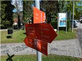
From the center of the settlement, we go on the path in the direction of Osankarica, lake Črno jezero and Tri Kralji and we at first walk on a sidewalk past Mercator store, primary school Pohorje battalion Oplotnica to pizzeria Salama, where we go left and then immediately right, so that we bypass the pizzeria on the right side.
The path ahead starts visibly ascending on a narrower asphalt road which leads us past occasional houses, and when we already get to the settlement Lačna Gora, a nice view opens up also towards Oplotnica and surrounding hills.
Higher, at the cross, signs for lake Črno jezero point us to the right, where we go also past the last house, behind which we continue the ascent on a macadam road, and from there we soon go left into the forest on a marked footpath. Through the forest, we ascend steeper, a little higher we cross a macadam road which we recently left and then we in a moderate ascent get to the church of St. Mohor and Fortunat.
Description and pictures refer to a condition in April 2022.
On the way: Lačna Gora (516m)
Pictures:
 1
1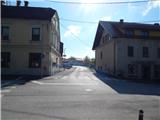 2
2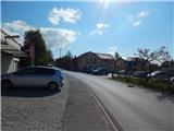 3
3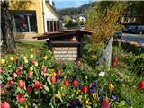 4
4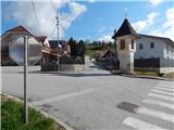 5
5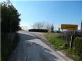 6
6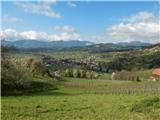 7
7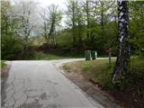 8
8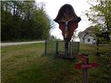 9
9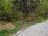 10
10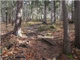 11
11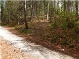 12
12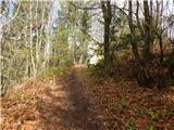 13
13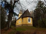 14
14