Parking Schöcklkreuz - Schöckl (via Schöcklkopf)
Starting point: Parking Schöcklkreuz (1128 m)
Starting point Lat/Lon: 47.20276°N 15.48555°E 
Path name: via Schöcklkopf
Time of walking: 1 h 20 min
Difficulty: partly demanding marked way
Difficulty of skiing: no data
Altitude difference: 317 m
Altitude difference (by path): 345 m
Map: Graz und Umgebung, https://www.bergfex.at
Access to starting point:
Highway Maribor-Graz-Salzburg (A9) we leave at exit Gratkorn-Süd (first exit after the tunnel Plabutschtunnel).
We turn left in the direction Graz-Andritz. At the next traffic light crossroad we turn left in the direction "Weiz, St. Radegund".
We follow the road to the end (approximately 3 km), where at the crossroad we turn again left in the direction of St. Radegund.
After 4 km we pay attention to turn off left in the direction Rinegg. We drive through the settlement Rinegg, to rehabilitation center, where at the roundabout we choose the 3rd exit and we continue uphill.
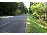
On the road, we drive to the highest point of the road, where we park on the parking lot "Schöcklkreuz".
Path description:
From the parking lot, we go towards the gate and further to the nearby mountain signposts, which stand at the crossing of two macadam roads. From here further on a well-beaten footpath we follow the blazes.
In between on the path we few times cross a macadam road. When we for a short time come on a macadam road, we pay attention to signposts, which point us to the left on rocks upwards.
We follow the path in the direction of the forest and meanwhile we enjoy a view towards the north.
When we come to the forest, the path leads us on a very steep rocky-forest slope upwards.
Behind a bigger rock, where have to use hands, we soon step out of the forest on a meadow.
Through a meadow we go upwards past a wind gauge and further to the beginning of a wooden path, on which we go to the upper station of the cable car.
We bypass the station on the right and we continue on a wooden path past the transmitter (on the right), past the mountain hut (on the left) and past the field in the direction of the smaller transmitter.
When we come to the end of a wooden path, we notice the cross of the western peak.
Pictures:
 1
1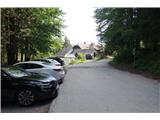 2
2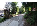 3
3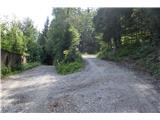 4
4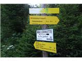 5
5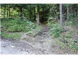 6
6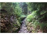 7
7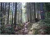 8
8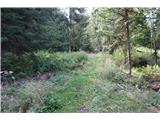 9
9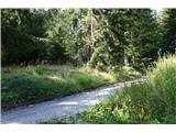 10
10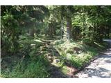 11
11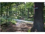 12
12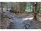 13
13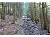 14
14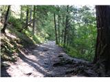 15
15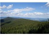 16
16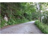 17
17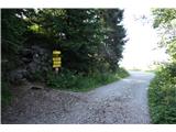 18
18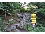 19
19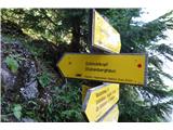 20
20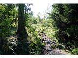 21
21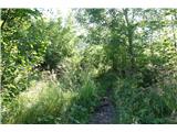 22
22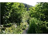 23
23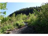 24
24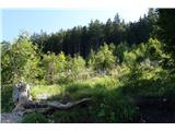 25
25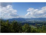 26
26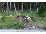 27
27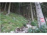 28
28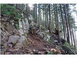 29
29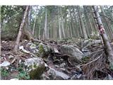 30
30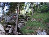 31
31 32
32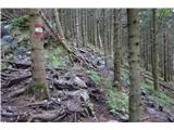 33
33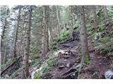 34
34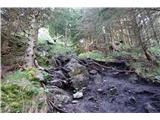 35
35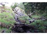 36
36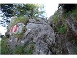 37
37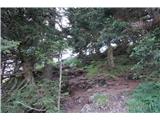 38
38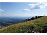 39
39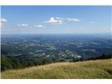 40
40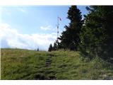 41
41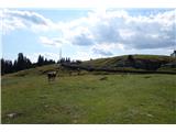 42
42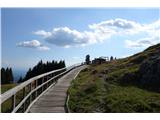 43
43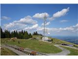 44
44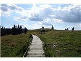 45
45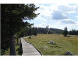 46
46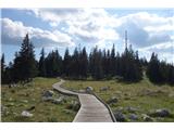 47
47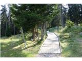 48
48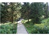 49
49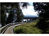 50
50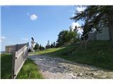 51
51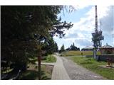 52
52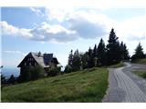 53
53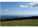 54
54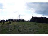 55
55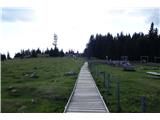 56
56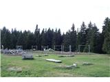 57
57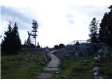 58
58 59
59 60
60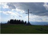 61
61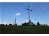 62
62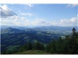 63
63 64
64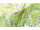 65
65