Pass Lius above Ligosullo - Tersadia (from Ligosullo)
Starting point: Pass Lius above Ligosullo (1080 m)
Starting point Lat/Lon: 46.53371°N 13.08045°E 
Path name: from Ligosullo
Time of walking: 3 h
Difficulty: easy marked way
Difficulty of skiing: no data
Altitude difference: 880 m
Altitude difference (by path): 880 m
Map: Tabacco
Access to starting point:
From Friulian highway we go to the exit at the settlement Carnia and we continue towards Tolmezzo and forward towards the mountain pass Monte Croce Carnico. At Cedarchis we drive straight through Paluzza and Treppo Carnico. Above Ligosullo the road turns towards Paularo and at the turn just below the mountain pass Lius an asphalt road branches off to the right with sign Foresta Tersadia. We can park here (1032m) or we continue for a short time on a macadam to the signpost for path 409 or few meters further to a gate (1080 meters).
Path description:
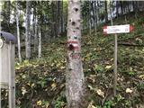
A narrow asphalt road runs right towards few farmhouses. We go on the forest path which is moderately ascending into a nice beech forest and in few minutes we reach the beginning of the path 409 (signpost). The path moderately diagonally rises through a nice beech forest and then starts winding to altitude around 1400 meters, where starts a long crossing, which leads by the edge of the forest to the saddle Orteglas (1400 meters). Here by the wooden bench on the left side we find signs for bivouac Valuto and mountain Tersadia, and to the right there is descending the marked path 409a towards Treppo Carnico. Direction of the path from this crossing is towards the east. In the forest it starts ascending steeper. The path follows the direction of the ridge, which connects Cimon with the massif of Tersadia. By the path, we get to the streams Rutandi and Orteglas, crisscrossed with crumbly grooves. By the ridge the path goes just below the clearing, where there is emergency bivouac Valore (1588 meters, old stable, in which there is a bivouac with a bench, table, space for two armaflexes and open fireplace).
The path gradually leaves the forest and continues with easy ascent on northwestern side of the mountain. The footpath follows in parts a ruined mule track. On the saddle Tersadia a wide view opens towards the south, on our right (west) there is the ridge with peaks Cima Valmedan, Monte Cucco and Monte di Rivo. From the south side comes a well visible mule track through the upper mountain pasture Valmedan.
A crossing towards the summit is few meters before the vantage point, it is poorly marked, but logical. It runs at the area of dwarf pines and bushes. On open grassy terrain, with the view on mighty Sernio, we gently get to the upper plateau, where there are remains of the building. Just below the summit (1959 meters) there is also a big cross, marble statue of Mary and inscription book, and on the top there are also two signs with the view description.
On the way: sedlo Orteglas (1400m), bivak (ricovero) Valore (1588m)
Pictures:
 1
1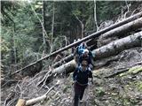 2
2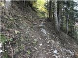 3
3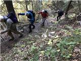 4
4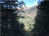 5
5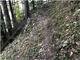 6
6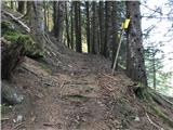 7
7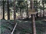 8
8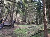 9
9 10
10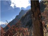 11
11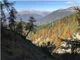 12
12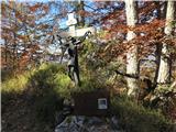 13
13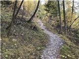 14
14 15
15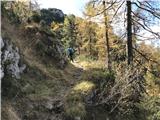 16
16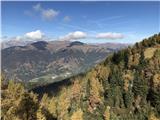 17
17 18
18 19
19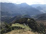 20
20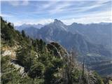 21
21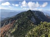 22
22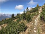 23
23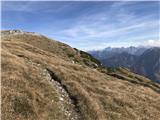 24
24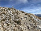 25
25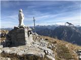 26
26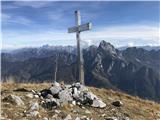 27
27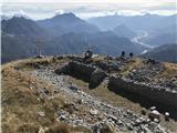 28
28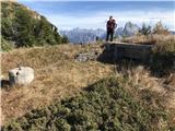 29
29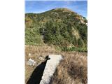 30
30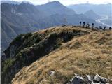 31
31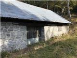 32
32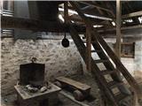 33
33