Passo Pordoi - Piz Boe (Via Ferrata Cesare Piazzetta)
Starting point: Passo Pordoi (2239 m)
Starting point Lat/Lon: 46.488°N 11.8113°E 
Path name: Via Ferrata Cesare Piazzetta
Time of walking: 3 h 30 min
Difficulty: extremely difficult marked way
Ferrata: D
Difficulty of skiing: no data
Altitude difference: 913 m
Altitude difference (by path): 950 m
Map: Tabacco 7
Access to starting point:
First, we drive to Cortina d'Ampezzo (to here possible over a border crossing Rateče or Predel to Trbiž / Tarvisio and then on a highway in the direction of Videm / Udine to exit Tolmezzo. From Tolmezzo we follow the road in the direction of village Ampezzo and mountain pass Passo Mauria. The road then descends and it brings us to a crossroad, where we continue left (possible also right) in the direction of Cortina d'Ampezzo. At all next crossroads, we follow the signs for Cortina d'Ampezzo.
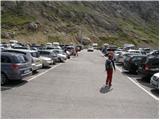
In Cortina d'Ampezzo then we follow the signs for Alpine mountain pass Passo di Falzarego. On the mentioned mountain pass we come to a crossroad, where we continue on the left road in the direction of Marmolada and settlement Arabba (right Alta Badia). The road ahead is for quite some time descending, and then it brings us to a crossroad, where we continue right in the direction of the mountain pass Passo Pordoi (left Marmolada). Relatively wide and the ascending road we follow all the way to the mentioned mountain pass, where we park on a large parking lot.
Access from Primorska: We drive on a highway in the direction of Padova, but only to a highway junction, where we continue in the direction of Veneto and Belluno. Near Belluno the highway ends, and we follow the road ahead in the direction of Belluno, where at the larger crossroad we continue right in the direction of the town Agordo. From the mentioned town ahead we follow the signs for settlement Arabba and Alpine mountain pass Passo Pordoi, which is also a starting point for our tour.
Path description:
From the parking lot at first we carefully cross the road, and then we go on the path number 627 (direction Piz Boe). The path is at first ascending a little steeper on a panoramic grassy slope, and then it flattens and brings us on more rocky terrain. The path ahead turns slightly towards the left and starts ascending steeper again. After few minutes of additional walking, we finally leave the grassy slopes, and the path passes on gravel terrain, through which we are ascending on a quite wide path. The path higher once again flattens and it brings us to a marked crossing.
We continue right on the path 626 following the signs “Via Ferrata C. Piazzetta”, straight leads the path towards the mountain hut Rifugio Forcella Pordoi. The path from the crossing then for quite some time in gentle ascents and descents crosses the slopes below the steep walls towards the east. Later from the right side joins the path which leads past a monument of first and second world war. From the crossing then only a short crossing follows to the entry of a climbing part of the path.
At the entrance into a climbing part of the path, we must equip ourselves with a helmet and self-belay set, highly recommended is also the use of climbing gloves. The path already in the very beginning becomes extremely demanding and ascends only with the help of a steel cable in a vertically wall. On some spots, the mountain wall is even slightly overhanging and there's very little footholds and even those are because of the numerous mountaineers already quite smooth.
Further for quite some time, we climb in a vertical a wall upwards, occasionally we also cross a wall to the left and right side. On a short overhang there are also some iron footholds for help, and later in a vertical wall also a very short ladder. After that, the path again crosses to the left and then vertically ascends to a little wider ledge, where we can rest a little.
From the ledge follows a vertical ascent through a little clumsy narrow passage, and then the path becomes a little less demanding. Further, the path crosses a hanging bridge from which there is a nice view towards the initial hardest part of the path. From the bridge ahead then we start ascending on a little less steep slope by the steel cable. Such a path then brings us to the last demanding vertical ascent. Before the last wall there is also a smaller emergency bivouac (a smaller hole carved into a rock), where we can shelter in case of a storm. Last vertical wall we can otherwise also bypass on the left side, but that path is quite crumbly.
Further, the path becomes less steep but on some spots isn't secured, because of this caution is still needed.
Later we join the path 638 and then follows only an ascent on an undemanding slope to the top of Piz Boe.
The path Via Ferrata Cesare Piazzetta on Piz Boe is extremely demanding and it is appropriate only for the most skilled mountaineers with enough strength in arms and mandatory self belaying. Many people described path mark as the most difficult secured path in the entire Dolomites.
We descend on an easy path past the mountain hut Rifugio Forcella Pordoi.
Pictures:
 1
1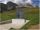 2
2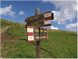 3
3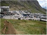 4
4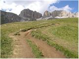 5
5 6
6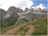 7
7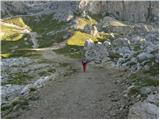 8
8 9
9 10
10 11
11 12
12 13
13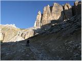 14
14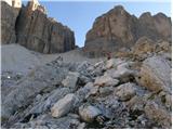 15
15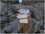 16
16 17
17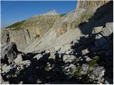 18
18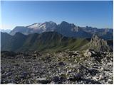 19
19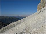 20
20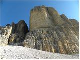 21
21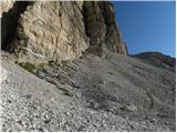 22
22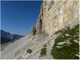 23
23 24
24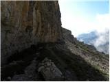 25
25 26
26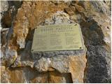 27
27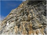 28
28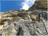 29
29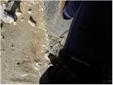 30
30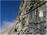 31
31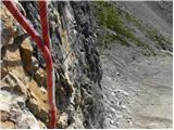 32
32 33
33 34
34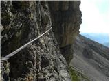 35
35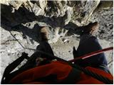 36
36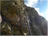 37
37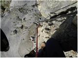 38
38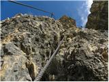 39
39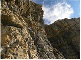 40
40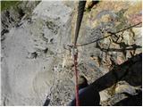 41
41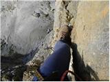 42
42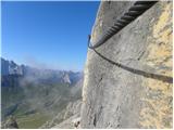 43
43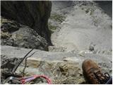 44
44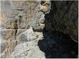 45
45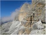 46
46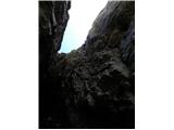 47
47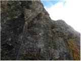 48
48 49
49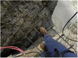 50
50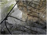 51
51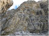 52
52 53
53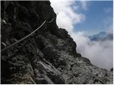 54
54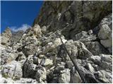 55
55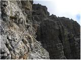 56
56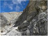 57
57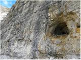 58
58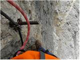 59
59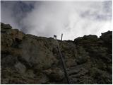 60
60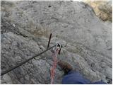 61
61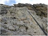 62
62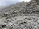 63
63 64
64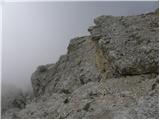 65
65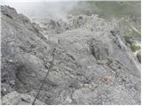 66
66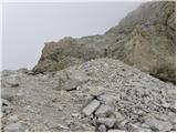 67
67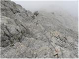 68
68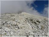 69
69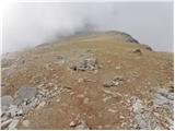 70
70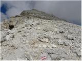 71
71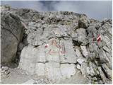 72
72 73
73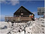 74
74