Starting point: Pečar (460 m)
Starting point Lat/Lon: 46.0401°N 14.6402°E 
Time of walking: 35 min
Difficulty: easy marked way
Difficulty of skiing: no data
Altitude difference: 167 m
Altitude difference (by path): 170 m
Map: Ljubljana - okolica 1:50.000
Access to starting point:
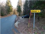
From the east Ljubljana bypass highway, we go to the exit Ljubljana - Bizovik, and then we continue driving towards Sostro and ahead on an ascending road towards Besnica. On the saddle, where a road branches off to the right towards the village Javor, we park on a smaller parking lot by the road.
Path description:
At the starting point, we notice signs for Žagarski and Mali vrh, which point us on the asphalt road in the direction of the settlement Javor. The path at first leads past few more houses, and then we are ascending relatively steeply through the forest. A little further a fruit road branches off to the right, and we continue on the asphalt road which higher at the religious symbol flattens and leads us past a smaller hamlet, where we still continue straight. Behind the houses a beautiful view opens up, and then after the hayrack, the road returns into the forest. A little further, the forest again gets thinner, and we on the right side bypass another house. We continue with the ascent on the asphalt road all the way to the next hamlet, where before the houses we go on the upper left road in the direction of the hut of amateur radio operators (Dom radioamaterjev).
Also from the crossroad ahead we continue on the asphalt road which is a bit narrower. We follow the mentioned road all the way to Žagarski vrh, where there stands the hut of amateur radio operators and from which a nice view opens up.
Description and pictures refer to a condition in the year 2016 (December).
Pictures:
 1
1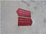 2
2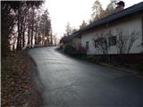 3
3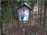 4
4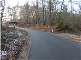 5
5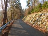 6
6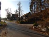 7
7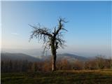 8
8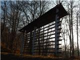 9
9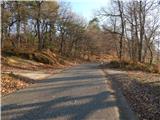 10
10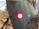 11
11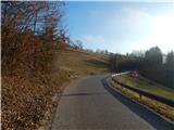 12
12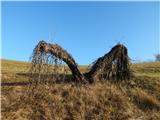 13
13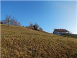 14
14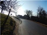 15
15 16
16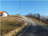 17
17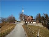 18
18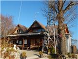 19
19 20
20