Peračica - Peračica waterfall
Starting point: Peračica (457 m)
Starting point Lat/Lon: 46.3374°N 14.2417°E 
Time of walking: 45 min
Difficulty: easy marked way
Difficulty of skiing: no data
Altitude difference: -27 m
Altitude difference (by path): 25 m
Map: Karavanke - osrednji del 1:50.000
Access to starting point:
We leave the Gorenjska motorway at the Brezje exit, then follow the signs for the basilica of Mary Help at Brezje and further to the Peračica settlement. We park before the sign for the beginning of the Peračica settlement at an appropriate place by the road.
Path description:
From the parking lot, we continue on the asphalt road, at the crossroads we go straight. Behind the chapel, which is situated a little before the end of the settlement, we go left in the direction of the path of peace (Pot miru). The path ahead leads us on a macadam road that runs through a larger meadow, and when the road passes into the forest, it gradually changes into a cart track. Through the forest, we follow the signs for the waterfall, at a smaller unmarked junction we go slightly left. A few minutes of crossing towards the left follow, then we reach the other macadam road which continues without large changes in altitude. When the road starts to descend more noticeably, the branch of the Brezjanska path of peace branches off to the left, and we continue on the road to the next marked junction, where we continue left downhill in the direction of the waterfall (straight Dvorska vas).
From the junction onwards there first follows a short descent, partly also on stairs, then over a footbridge we cross Peračica, which we cross again above the waterfall. On the other side of the stream there follows a little more descent on fenced stairs, from which on the left we already see the waterfall. When the stairs end, on the left there are an information board and a logbook box; to view the waterfall, it is worth descending all the way to the stream.
Description and pictures refer to the condition in 2017 (January).
Pictures:
 1
1 2
2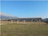 3
3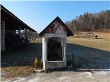 4
4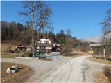 5
5 6
6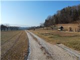 7
7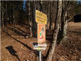 8
8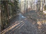 9
9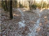 10
10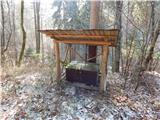 11
11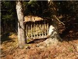 12
12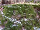 13
13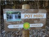 14
14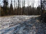 15
15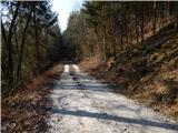 16
16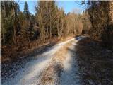 17
17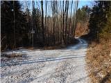 18
18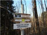 19
19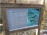 20
20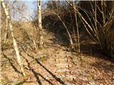 21
21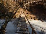 22
22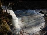 23
23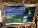 24
24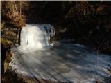 25
25