Pfaffensattel - Moschkogelhütte
Starting point: Pfaffensattel (1372 m)
Starting point Lat/Lon: 47.57016°N 15.81394°E 
Time of walking: 2 h 45 min
Difficulty: easy marked way
Difficulty of skiing: no data
Altitude difference: 210 m
Altitude difference (by path): 490 m
Map:
Access to starting point:
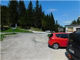
From the border crossing Šentilj we continue driving on the highway towards Gradec / Graz and forward towards Linz and Salzburg. We soon leave Highway A9 and continue driving slightly to the right towards Vienna/Wien, proceeding on Highway S35. From this highway, we then merge onto Highway S6, still following the signs for Vienna. We leave the highway after the tunnel Spital/S. and then we take the exit towards Semmering. We continue following the signs for Steinhaus and Spittal/S. and shortly after, we turn left towards the settlement Birkfeld and the mountain pass Pfaffensattel. We keep following the signs for the mentioned mountain pass, where we park.
Path description:
From the mountain pass, we go on the western side of the mountain pass in the direction of the mountain hut Alois-Günther-Haus, where for a few steps we walk on a macadam road, and then the path splits.
We continue right on a footpath (straight ahead continues the path on the road, and when the road is open, you can drive to the top for a fee), which leads us past a cross. A little further, we cross a rough macadam road that leads towards a smaller quarry, and then we continue through the forest for some time. Higher up, we reach the macadam road that leads towards the summit, and we continue there only briefly because signs from the road then point us sharply to the left onto the mountain path, on which we continue. Further on, we partly walk through the forest and partly over shorter panoramic sections, and higher up the forest ends.
We continue with nice views, which extend to the nearby Wechsel group; towards the south, we see the mountain Masenberg with its highest peak, Pongratzer Kogel, and in front of us, a view opens up on Stuhleck.
When we get quite close to a macadam road that leads towards the summit, we also reach the eastern ridge of the peak Stuhleck, from where a view opens up towards the eastern peaks of Northern Limestone Alps. Next follows approximately 15 minutes of a moderate ascent, and we reach the mountain hut Alois-Günther-Haus, and a few steps further, also the panoramic summit, which is the highest peak of Mountains estern from Mur.
From the top of Stuhleck, we continue on a marked path that descends from the peak towards the southwest, with signs for the mountain hut Rosegger Haus. During the descent, the path first leads past the upper station of the cableway on Stuhleck, and then also past the turn-off for the ski touring route towards the settlement Rettenegg. The descent ends at the saddle Schwarzriegel, where a marked path from the settlement Rettenegg joins from the left, where a learning path of the planets also runs.
We continue straight in the direction of Mürzzuschlag and Roseggerhaus, gradually reaching a lane of sparse spruce forest, where the terrain flattens, and we continue on a shorter swampy section, where the path runs on a wooden pavement.
We quickly leave this section and reach a wind power plant park, before which there is a warning sign indicating the life-threatening danger of falling ice from the power plants.
Soon after the first power plant, we cross a macadam road; before the next power plant, we go left and return to the road, which we cross a little lower down. We follow the road to the right, and in a few minutes, we reach an indistinct peak, Grazer Stuhleck.
Next follows an easy descent on the macadam road, and we continue with nice views among the wind power plants. When the descent ends, we start ascending again, and in a few minutes of a moderate ascent, we reach a grazing fence that also crosses the road. Here, near the grazing fence, is the highest point of the peak Geiereck.
Next follows an easy descent to a marked crossing, from which we go right in the direction of Moschkogel and the Moschkogelhütte (left Pretul and the Roseggerhütte). Next follows a few minutes of descent and with beautiful views, we reach the Moschkogelhütte mountain hut, which we notice on the left side of the road.
Pfaffensattel - Stuhleck 1:15, Stuhleck - Grazer Stuhleck 1:00, Grazer Stuhleck - Geiereck 0:15, Geiereck - Moschkogelhütte 0:15.
Description and pictures refer to the condition in May 2023.
Pictures:
 1
1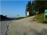 2
2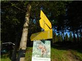 3
3 4
4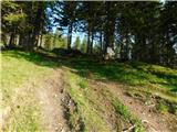 5
5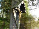 6
6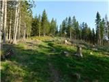 7
7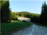 8
8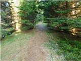 9
9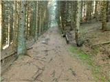 10
10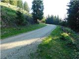 11
11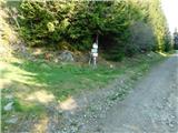 12
12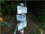 13
13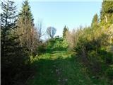 14
14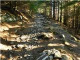 15
15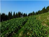 16
16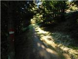 17
17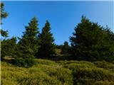 18
18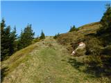 19
19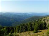 20
20 21
21 22
22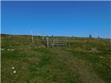 23
23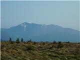 24
24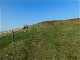 25
25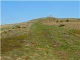 26
26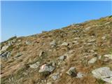 27
27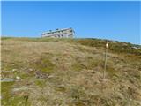 28
28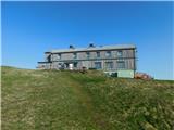 29
29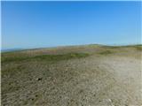 30
30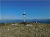 31
31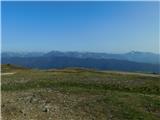 32
32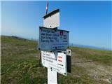 33
33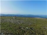 34
34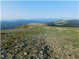 35
35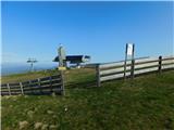 36
36 37
37 38
38 39
39 40
40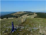 41
41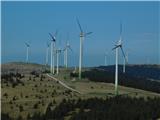 42
42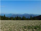 43
43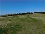 44
44 45
45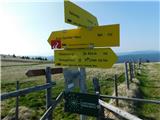 46
46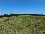 47
47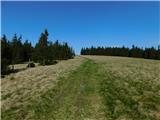 48
48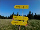 49
49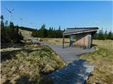 50
50 51
51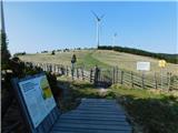 52
52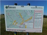 53
53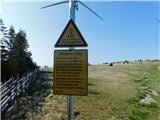 54
54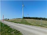 55
55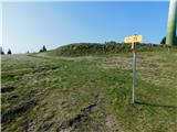 56
56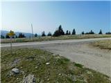 57
57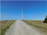 58
58 59
59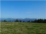 60
60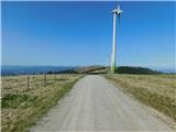 61
61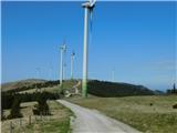 62
62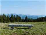 63
63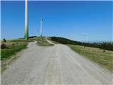 64
64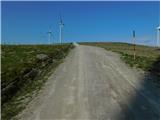 65
65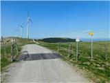 66
66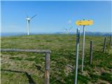 67
67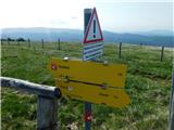 68
68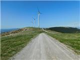 69
69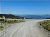 70
70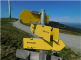 71
71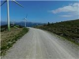 72
72 73
73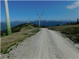 74
74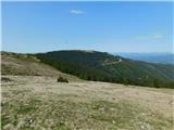 75
75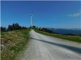 76
76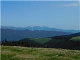 77
77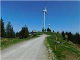 78
78 79
79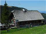 80
80