Pod Krnico - Tegoška planina
Starting point: Pod Krnico (1250 m)
Starting point Lat/Lon: 46.4346°N 14.4083°E 
Time of walking: 2 h 10 min
Difficulty: easy unmarked way
Difficulty of skiing: no data
Altitude difference: 180 m
Altitude difference (by path): 360 m
Map: Karavanke - osrednji del 1:50.000
Access to starting point:
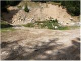
From the highway Ljubljana - Jesenice we go to the exit Podnart (Ljubelj), and then we continue driving on the fast road towards Ljubelj and Tržič. When the fast road ends, we will notice a gas station on the right side, in front of which we turn right downwards towards Tržič. Further, we drive through Tržič, and we follow the narrower road towards the gorge Dovžanova soteska and then through the villages Dolina and Jelendol to the hamlet Medvodje. Here at the first crossroad, we continue left in the direction of Košutnik, Dolge njive, Košutnikov turn, Šija, Kofce and Veliki vrh. Further, we drive on an ascending macadam road, on which we get to a crossroad at Košutnik (house nearby). From the crossroad at an altitude of 1080 meters we continue right, and on a slightly worse macadam road we drive to the parking lot at some sort of quarry or landslide.
Path description:
From the parking lot, we go on a cart track which branches off left from the road. The cart track goes into the forest and ascends moderately, first crossing a smaller and then a bigger stream. The cart track, which has some shortcuts, makes some turns and after a good 15 minutes brings us to the pastures of the mountain pasture Spodnja Dolga njiva.
After a short walk across the mountain pasture, the path brings us to a junction, where there are signposts.
We continue left in the direction of Košutnikov turn and Kofce (straight to the mountain dairy on the mountain pasture Spodnja Dolga njiva 1 minute) on the path which ascends diagonally into the forest. When we step into the forest we first cross a grazing fence, and then in a few minutes we arrive at the next junction.
This time we continue straight (sharply right Košutnikov turn) and continue on a footpath which towards the left crosses occasionally steeper slopes of Košuta. Further, the path leads us over some panoramic slopes and continues with some shorter ascents and descents. When the path after some time passes into a dense forest, it splits into two parts.
The right marked path continues towards Kofce, and we continue straight on an unmarked footpath, to which a sign with the inscription Tegošče - koča directs us. The path ahead is not marked, but it is marked with pink arrows. After a shorter crossing through the forest we arrive at a larger clearing, where we follow the arrows (here the footpath temporarily loses itself due to several fallen trees). When the clearing ends the footpath becomes more distinct, which a little further brings us to a cart track, on which we walk only a few steps, and then the arrows direct us right onto a poorly beaten but nicely followable footpath. A little further we arrive at another cart track and then cross yet another one. The path returns to the forest and with the help of a smaller ladder crosses a wire fence. Further, the path returns to a cart track and continues for some time through the forest. Later the forest thins out and the path brings us to Tegoška planina.
Pictures:
 1
1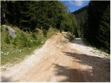 2
2 3
3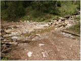 4
4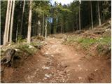 5
5 6
6 7
7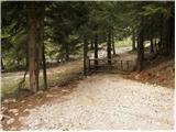 8
8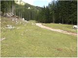 9
9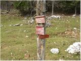 10
10 11
11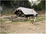 12
12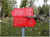 13
13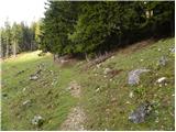 14
14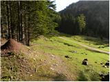 15
15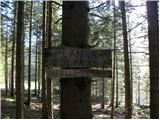 16
16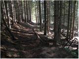 17
17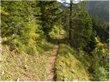 18
18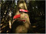 19
19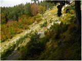 20
20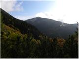 21
21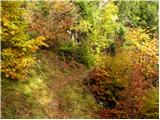 22
22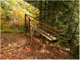 23
23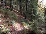 24
24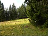 25
25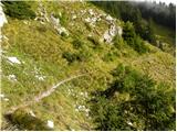 26
26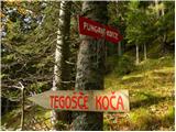 27
27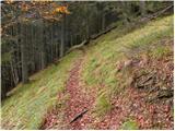 28
28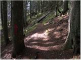 29
29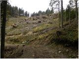 30
30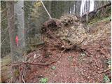 31
31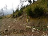 32
32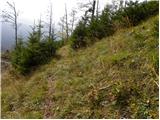 33
33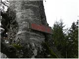 34
34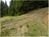 35
35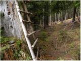 36
36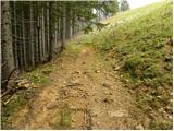 37
37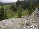 38
38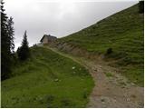 39
39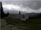 40
40