Starting point: Podgora (487 m)
Starting point Lat/Lon: 45.6894°N 14.0165°E 
Time of walking: 2 h
Difficulty: easy marked way
Difficulty of skiing: no data
Altitude difference: 540 m
Altitude difference (by path): 600 m
Map:
Access to starting point:
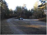
From the Ljubljana–Koper highway, we take the Divača exit, then continue driving towards Divača. Still before Divača, we turn right towards the settlement Dolnje Ležeče, and from there we drive further. Only a few meters before we get to the crossroad, where a road towards the village Goriče pri Famljah branches off to the right, we turn left towards Vremščica. At the next crossroad, to which we get already after a few meters, we again continue left and then immediately behind the railway track once again left. From the spot where we left the asphalt road, we drive approximately 1 km, and then we park at a suitable place, at the smaller crossroad.
Path description:
From the starting point, we follow the marked path, which first ascends through a strip of forest, then gradually transitions to more and more panoramic grassy slopes. We continue ascending along a relatively steep and partly grassy cart track, from which beautiful views open up towards the valley of the Reka River and surrounding hills. Higher up, the cart track turns right, but we continue straight on the footpath, which higher turns left and crosses a strip of low forest. The path then returns to a panoramic slope and ascends across to the ridge of Vremščica, where it joins a rough road, which we follow to the right. We walk along the road for only a few steps, then the blazes direct us slightly right onto a footpath that continues through a pine grove. The forest ends quickly, and the path returns to the road, which we soon leave again. We continue on the marked path, which for a while proceeds through forest, and for a while across panoramic, mostly grassy slopes. After a while, we reach a junction where the path from the village Famlje joins from the right (also the path from the Škocjan Caves through the gorge of the Reka River).
Here we continue slightly left along a less distinct cart track, which gradually enters the forest and turns into a nicely traceable footpath. Slightly higher, the path from Senožeče also joins us, but we continue straight and ascend through another strip of forest. Higher up, the forest thins out, and the increasingly panoramic path quickly leads us to the summit of Vremščica.
Pictures:
 1
1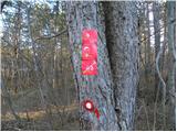 2
2 3
3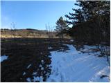 4
4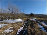 5
5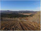 6
6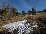 7
7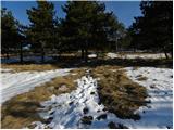 8
8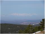 9
9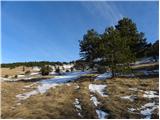 10
10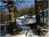 11
11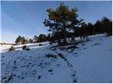 12
12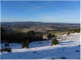 13
13 14
14 15
15 16
16 17
17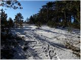 18
18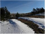 19
19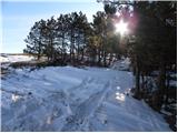 20
20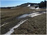 21
21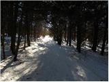 22
22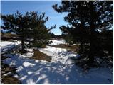 23
23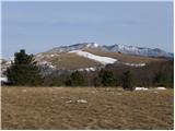 24
24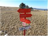 25
25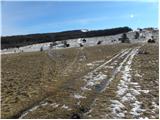 26
26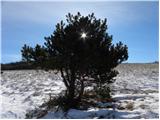 27
27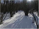 28
28 29
29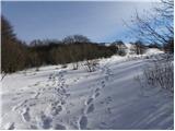 30
30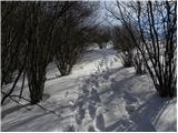 31
31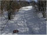 32
32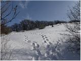 33
33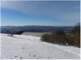 34
34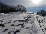 35
35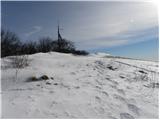 36
36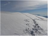 37
37 38
38 39
39