Podgorje - Kojnik (steep path)
Starting point: Podgorje (518 m)
Starting point Lat/Lon: 45.5353°N 13.9435°E 
Path name: steep path
Time of walking: 1 h
Difficulty: easy marked way
Difficulty of skiing: easily
Altitude difference: 284 m
Altitude difference (by path): 284 m
Map:
Access to starting point:
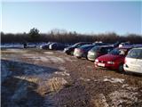
From highway Ljubljana - Koper we go to the exit Kozina. We follow the road ahead towards Koper to the village Petrinje, where we go left in the direction of Podgorje. The road which at first steeply ascends soon brings us to the next crossroad, where we continue left. Ahead we drive to the village Podgorje, where we park on a large parking lot near the sports field.
Access from Koper: On old road we drive towards Postojna and only a little after the village Črni Kal sharply to the right, the road branches off towards the village Podgorje. We follow this road to a large parking lot near the sports field, which is situated in the village Podgorje.
Path description:
From the parking lot, we turn left on an asphalt road, where already over few meters we notice a signpost, which points us to the left. We continue on a cart track, where we follow the blazes. After some time from the cart track we turn on a footpath on which trail blaze points us to. Next follows a steep ascent through the forest. Out of the forest we then pass on a clearing, where a breathtaking view opens up. Then we again some time walk through the forest and then we pass on a clearing. We continue ahead, just before the peak there is also a smaller pine forest. After few meters of walking, we get to the top, where there are situated inscription book and a stamp.
Pictures:
 1
1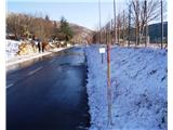 2
2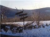 3
3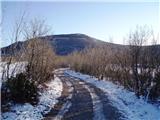 4
4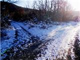 5
5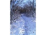 6
6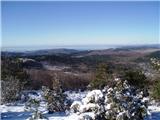 7
7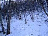 8
8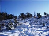 9
9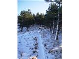 10
10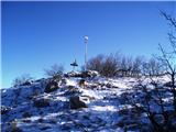 11
11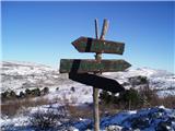 12
12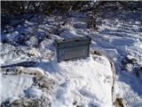 13
13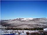 14
14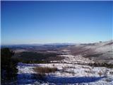 15
15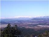 16
16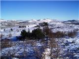 17
17