Podgrad - Castle Stari grad (Stari Osterberg) (on Ostrovrhar trail)
Starting point: Podgrad (283 m)
Starting point Lat/Lon: 46.06642°N 14.63698°E 
Path name: on Ostrovrhar trail
Time of walking: 45 min
Difficulty: easy marked way
Difficulty of skiing: no data
Altitude difference: 160 m
Altitude difference (by path): 190 m
Map: Ljubljana - okolica 1:50.000
Access to starting point:
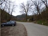
From the east Ljubljana bypass highway, we go to the exit Ljubljana - east and we continue driving on the road Zaloška cesta in the direction of Zalog. Further, we drive on the main road towards Podgrad. In the settlement Podgrad we turn right through the underpass under the railway track and then we continue on a relatively narrow road in the direction towards Besnica and Janče. Only a little before the end of the settlement Podgrad we park on a parking lot on the left side of the road. In case if the parking lot is occupied, we can here turn right on a cart track by the information board and over a small wooden bridge cross the stream. And there is also some space for parking.
Path description:
From the parking lot, we first cross the main road and past the information board which describes the path Ostrovrharjeva pot we go on a cart track and through a small wooden bridge we cross the stream Besnica. Cart track turns to the left and it brings us to a crossroad where there is also a sign of the path Ostrovrharjeva pot.
At the crossroad, we continue sharply right where also the mentioned sign points us to. The path here runs on a cart track and is relatively steeply ascending through the forest. Occasionally also a view opens up a little towards the settlement Podgrad. From our path to the left upwards also a worse cart track branches off, and we continue straight all the way to the sharp left turn, where from the right joins also the marked path from Podgrad.
Here we continue left upwards on a cart track which at the right turn again brings us to a crossing. Here we leave the cart track which leads to the nearby castle Osterberg or villa Kansky and we go left on a footpath where also a sign of the path Ostrovrharjeva pot pointing to. After a short steep ascent, we get to the ridge where there is also an information board, which describes (new) castle Osterberg. Access to the very castle is forbidden (private property).
We continue left on a forested ridge and the path leads us past another information board where during the second world war there used to be a border between Italy and Germany. Further, the path still runs through the forest mostly in the direction towards the south and later brings us to a crossing. Here from the right joins the path from Zalog, and to the right also the path towards Debni vrh branches off.
We continue on the left, a relatively gentle path, which then crosses slopes towards the south, and then it turns to the left and crosses a distinct ditch. Further, we mostly in a gentle ascent cross the slopes towards the east. Here the path slightly widens and leads us past a well Ostrovrharjev studenec.
Next follows a short ascent and the path brings us to a crossing where from the left joins a more direct cart track path from Podgrad. We continue right and we quickly come to a saddle below the old castle Osterberg, where there are also some benches and information board.
From here towards the summit lead two paths, and both paths after a short ascent bring us to the summit where there are ruins of old castle Osterberg.
On the way: Grad Osterberg (318m), Ostrovrharjev studenec (430m)
Pictures:
 1
1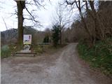 2
2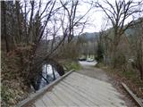 3
3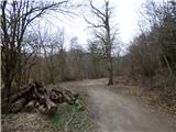 4
4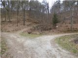 5
5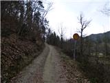 6
6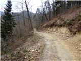 7
7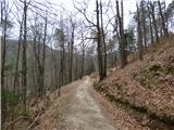 8
8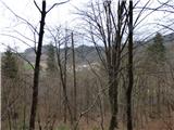 9
9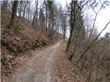 10
10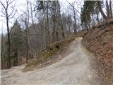 11
11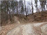 12
12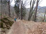 13
13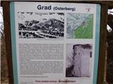 14
14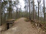 15
15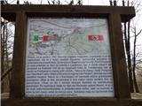 16
16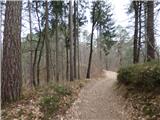 17
17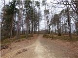 18
18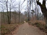 19
19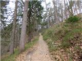 20
20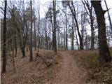 21
21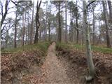 22
22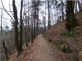 23
23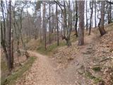 24
24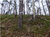 25
25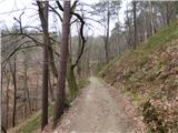 26
26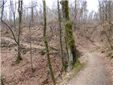 27
27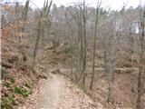 28
28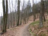 29
29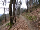 30
30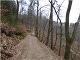 31
31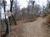 32
32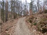 33
33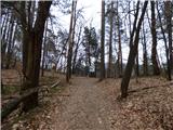 34
34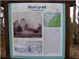 35
35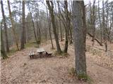 36
36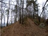 37
37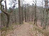 38
38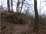 39
39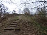 40
40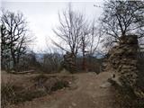 41
41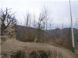 42
42