Podljubelj (Sroberje) - Bistriška planina
Starting point: Podljubelj (Sroberje) (580 m)
Starting point Lat/Lon: 46.38126°N 14.29636°E 
Time of walking: 1 h 35 min
Difficulty: easy unmarked way
Difficulty of skiing: no data
Altitude difference: 477 m
Altitude difference (by path): 510 m
Map: Karavanke - osrednji del 1:50.000
Access to starting point:
We leave the Gorenjska highway at the Podtabor exit, and then we follow the road in the direction towards Ljubelj. We drive past the exit for Tržič, past the settlement of newer houses, and then soon after the smaller underpass we turn at the first turn-off right, where we continue sharply right and drive to the nearby company Mikro S, where the described path begins.
When returning back in the direction of the highway, at the main road the mandatory direction is to the right, so we have to go to Podljubelj and turn there, a better option is that we go over the overpass, after the overpass right, and then still before the center of Podljubelj sharply right onto the main road in the direction of the highway. We can return also through Tržič.
Path description:
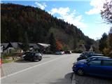
From the parking lot at the company Mikro S we descend a little in the direction of Tržič, and at the nearby crossroad we go sharply right and ascend to the overpass over which we pass to the other side of the main road. On the other side of the overpass we go left on a macadam road (right Podljubelj), where we go past Kramarjeva guba, and a little further the road splits, and we choose the upper right road (the bottom road leads to Kajžerjeva guba), which only a little further passes into the forest and starts ascending diagonally. Higher we arrive at a crossroad, where we continue left (right Bistriška planina - on the road). There follows a few minutes of diagonal ascent, and when in the right bend we reach an indistinct side ridge, we continue right on a cart track which starts ascending steeply. The cart track a little higher splits, and we choose the right cart track, to which soon from the left joins a marked path from Tržič.
In continuation we ascend diagonally towards the right, walking on a worse cart track which leads us across steeper slopes. At the top of the steep part, from the memorial marker a nice view opens up in the direction of Storžič, and we continue on a gently sloping path, which only a little further joins the road which we left lower at the crossroad or went left.
We reach the road exactly at the part where it changes into a cart track, and from the cart track we go quickly left on a marked path which continues through the forest. Through the forest at a few smaller junctions we follow the blazes, and then we return to the cart track, on which we moderately ascend for a short time, after that we gradually start descending and quickly reach the forest road, which we follow to the right. There follows a gentle walk along the edge of Bistriška planina, when we reach the road Brezje pri Tržiču - Bistriška planina we go right. There follows some slight ascent and at the unkempt parking lot we continue right to the mountain pasture, across which we ascend to the mountain hut on Bistriška planina.
Description and pictures refer to the condition in October 2020.
Pictures:
 1
1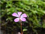 2
2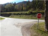 3
3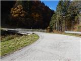 4
4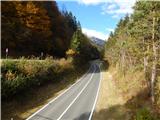 5
5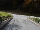 6
6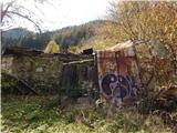 7
7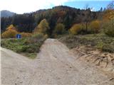 8
8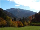 9
9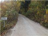 10
10 11
11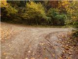 12
12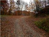 13
13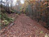 14
14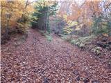 15
15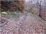 16
16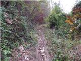 17
17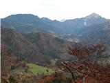 18
18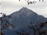 19
19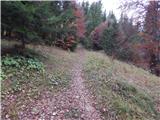 20
20 21
21 22
22 23
23 24
24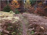 25
25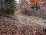 26
26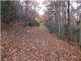 27
27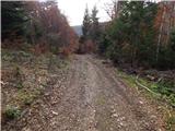 28
28 29
29 30
30 31
31 32
32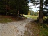 33
33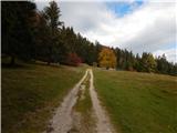 34
34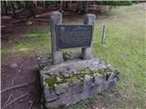 35
35 36
36 37
37