Podnanos - Sveti Socerb (Vipavska brda) (gentle path)
Starting point: Podnanos (175 m)
Starting point Lat/Lon: 45.7973°N 13.972°E 
Path name: gentle path
Time of walking: 1 h 30 min
Difficulty: easy unmarked way
Difficulty of skiing: no data
Altitude difference: 380 m
Altitude difference (by path): 380 m
Map:
Access to starting point:
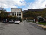
A) We leave Vipava highway at exit Vipava, and then we continue driving towards Podnanos. When we get to Podnanos we can park at the beginning of the settlement by the cemetery, or on a parking lot in the middle of the settlement.
B) We leave Primorska highway at exit Razdrto, and then we continue driving on the old road towards Nova Gorica. When the road stops descending, we quickly get to Podnanos, where we park on a parking lot in the middle of the settlement.
Path description:
From Podnanos, birthplace of Slovenian national anthem, we go on the road in the direction of village Orehovica. After few minutes of walking, we get to the mentioned village, where signs for Kjecl and Pasji rep-Premrn, point us to the right, on the road which in few 10 strides descends to a bridge over the stream Pasji rep. After the stream, we get to a marked crossing, from which we continue on the right path in the direction of a longer path on Kjecl, Božje Martre and Sveti Socerb (left Kjecl a shorter steep path and Sveti Socerb via Kjecl). The path ahead still leads on the road, and at the nearby crossroad, we go right, and then we on the right side bypass the nearby house. Next follows an ascent on a cart track which partly among vineyards, and partly through the forest ascends in few hairpin turns, and then passes into the forest and continues towards the west, where we continue on and by a mostly forested ridge. We eventually reach an indistinct hill, where there are a chapel, a bell Božje Martre and a pleasant bench.
A little further, the path splits, and we continue on the right path in the direction of Sveti Socerb (left path leads on Kjecl, and from Kjecl it is possible to continue also on Sveti Socerb). The path ahead mostly continues through the forest, which is in the autumn adorned by the colors of a smoke tree. Higher, we reach the cart track which leads from the settlement Podraga towards Sveti Socerb, and we follow it to the left and then we immediately leave it because signs for Sveti Socerb point us to the right on a footpath. A little below the summit, we return on a cart track, and then we ascend there past the inscription box to the church of St. Servul, from which a nice view opens up towards Vipava valley and mountains which surround it.
Description and pictures refer to a condition in the year 2016 (November).
On the way: Orehovica (190m)
Pictures:
 1
1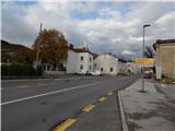 2
2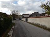 3
3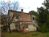 4
4 5
5 6
6 7
7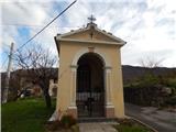 8
8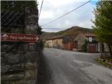 9
9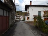 10
10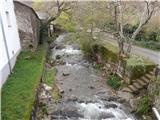 11
11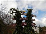 12
12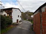 13
13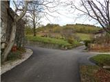 14
14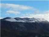 15
15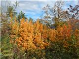 16
16 17
17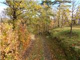 18
18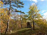 19
19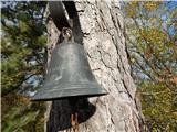 20
20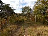 21
21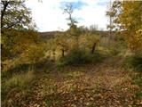 22
22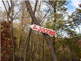 23
23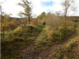 24
24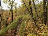 25
25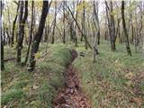 26
26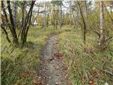 27
27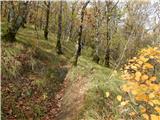 28
28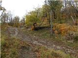 29
29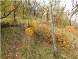 30
30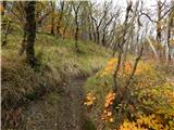 31
31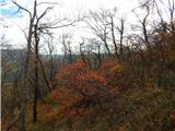 32
32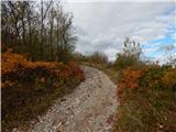 33
33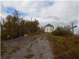 34
34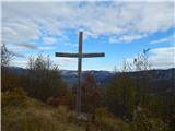 35
35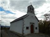 36
36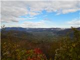 37
37