Starting point: Pred Belo (571 m)
Starting point Lat/Lon: 46.3188°N 14.6005°E 
Time of walking: 6 h 45 min
Difficulty: difficult marked way
Difficulty of skiing: no data
Altitude difference: 1779 m
Altitude difference (by path): 1900 m
Map: Kamniške in Savinjske Alpe 1:50.000
Access to starting point:
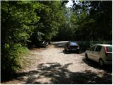
We drive to Kamnik and follow the road ahead towards the valley of Kamniška Bistrica. Approximately 2km after bottom station of the cable car on Velika planina we will on the right side of the road notice a parking lot and mountain signposts for Presedljaj, Konj and Korošica (parking lot is located after the bridge).
Path description:
From the parking lot, we go on the path in the direction of Presedljaj, Korošica, Konj and Ojstrica. Already after few meters the path turns to the right, where at first it is barely ascending, and then it starts descending and after few minutes joins a wide cart track. We continue the ascent on a gentle cart track which soon crosses a torrent, and then it is gently to moderately ascending towards the gable of the valley Kamniška Bela.
After a good 30 minutes of walking from the starting point, we come at the marked crossing, where we continue right on a marked path (left waterfall Orglice and Korošica through Šraj pesek). Cart track soon after the crossing changes into increasingly steep footpath, and which then leads us through a dense forest. Higher, the path turns slightly to the left and crosses a torrent gully. A little further almost unnoticeably the path over Najnar štant branches off to the left (demanding and exposed path which leads on Korošica, higher it joins the path over Šraj pesek), and we continue straight on a marked path which starts ascending in numerous turns. The path higher for a short time steeply ascends and it brings us to a nice viewpoint with table and bench.
The path ahead slightly descends, crosses a steep slope and it brings us to a torrent gully. Here the path turns on the left side of the slope and at first ascends with the help of some iron spikes and higher steel cables, after that returns into the forest, where it is steeply ascending for some time. Higher, the path for some time flattens, and then it again steeply ascends and in few minutes of additional walking brings us on a saddle Presedljaj, where there is a marked crossing.
We continue left in the direction of Korošica (right Konj) on the path which starts ascending on the left side of an indistinct ridge. After few minutes, the path turns to the right and flattens. We continue on in parts quite overgrown footpath, that is gently ascending through a lane of dwarf pines. A little further, the path crosses an exposed slope above the valley Lučka Bela, where there is also a memorial plaque to a mountaineer. Only few meters behind the memorial plaque, the slope flattens and it brings us to an unmarked crossing, where the unmarked path towards Vršiči and Vežica branches off to the left.
We continue straight on a marked path which continues towards the north and with some shorter ascents and descents quickly brings us to the spot, where we join a better beaten path from the valley Lučka Bela. Here we continue left and past a turn-off of the path on Lučki Dedec we walk to Prag (1910 meters).
From Prag we continue straight and we continue on a wide footpath which starts descending diagonally towards green plain Korošica. After 10 minutes of descent, the path flattens and to the mountain hut Kocbekov dom we have only few steps of easy walking.
From the mountain hut Kocbekov dom we continue on a marked path in the direction of Ojstrica. The path already after few meters above the mountain hut goes in a lane of dwarf pines, where it gradually starts ascending steeper and steeper. After a good 20 minutes of ascent from the mountain hut Kocbekov dom the path flattens, and it passes on grassy slopes, which are soon replaced by stones. The path ahead crosses two successive gullies, and then it starts ascending steeper on the more and more panoramic slope. The path ahead leads us past two less noticeable crossings (in both cases we continue right in the direction of Ojstrica, left Planjava and Škarje) and it gradually starts turning more and more to the right. Higher, the path becomes even steeper and passes on quite crumbly slope. Further path for a short time flattens and through narrower passage brings us on the main ridge of Kamnik Savinja Alps. When we step on a ridge we continue right on a very steep path, which is further ascending on rugged rocks. This very steep path, by which there are some iron spikes for help, we follow all the way to the top of Ojstrica, and we reach it after approximately 15 minutes of additional walking (in the last part there is high risk of falling stones).
Pictures:
 1
1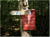 2
2 3
3 4
4 5
5 6
6 7
7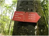 8
8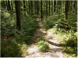 9
9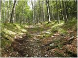 10
10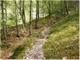 11
11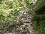 12
12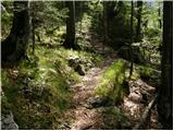 13
13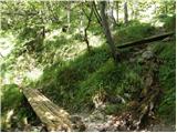 14
14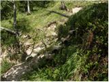 15
15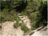 16
16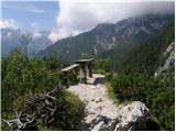 17
17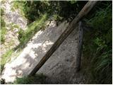 18
18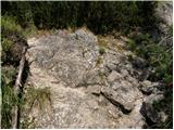 19
19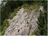 20
20 21
21 22
22 23
23 24
24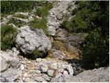 25
25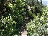 26
26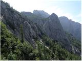 27
27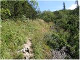 28
28 29
29 30
30 31
31 32
32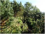 33
33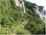 34
34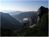 35
35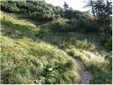 36
36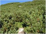 37
37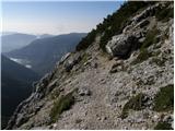 38
38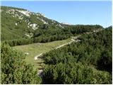 39
39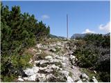 40
40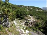 41
41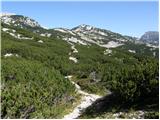 42
42 43
43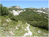 44
44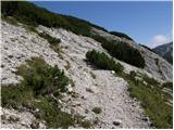 45
45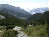 46
46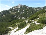 47
47 48
48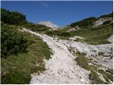 49
49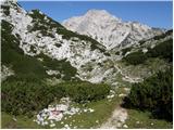 50
50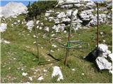 51
51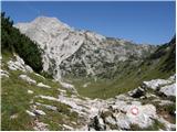 52
52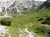 53
53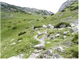 54
54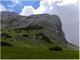 55
55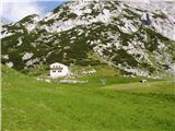 56
56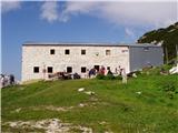 57
57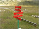 58
58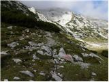 59
59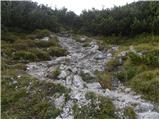 60
60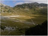 61
61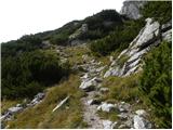 62
62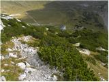 63
63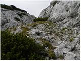 64
64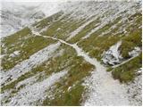 65
65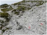 66
66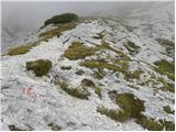 67
67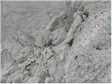 68
68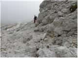 69
69 70
70 71
71 72
72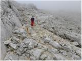 73
73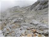 74
74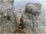 75
75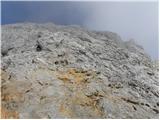 76
76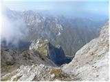 77
77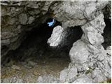 78
78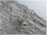 79
79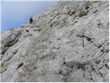 80
80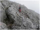 81
81 82
82 83
83 84
84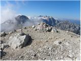 85
85