Predmeja - Sinji vrh (Pot po Robu)
Starting point: Predmeja (875 m)
Starting point Lat/Lon: 45.9437°N 13.8763°E 
Path name: Pot po Robu
Time of walking: 2 h 55 min
Difficulty: easy marked way
Difficulty of skiing: no data
Altitude difference: 127 m
Altitude difference (by path): 500 m
Map: Goriška - izletniška karta 1:50.000
Access to starting point:
A) From central Slovenia we first drive to Logatec, then continue driving in the direction of Idrija. At Kalce near Logatec we turn left in the direction of Col, then continue driving on a winding road towards Col. In Col we turn right and then after 100 m left in the direction of Predmeja. Further we drive on an occasionally somewhat narrower and also partly still winding road to Predmeja. In Predmeja we will notice signs for the path Pot po Robu and beside them the monument "Materi Gori" and a large macadam parking lot.
B) From the highway Razdrto - Nova Gorica we take the exit Ajdovščina and follow the road ahead towards the village Lokavec (to Lokavec we come from the center of Ajdovščina, or from the old road Ajdovščina - Nova Gorica, where at the settlement Cesta we turn right). From Lokavec we continue driving on an ascending winding road in the direction of Predmeja. When the road flattens a little, we come to a crossroads, where we continue right towards Predmeja and Col. On the road towards Col we drive only 100 m, then on the right side we notice a larger parking lot and hiking signs for the path Pot po Robu.
Path description:
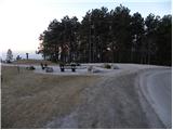
From the starting point we first walk to the vantage point, then continue left in the direction of "Pot po Robu". Initially the poorly visible path slightly descends, then passes into the forest, through which it gradually begins to ascend moderately. We quickly ascend almost to the top of the 889 m high peak (on maps without a name), then begin to descend. Pot po Robu continues across grassy hay meadows, in the middle of which individual bushes grow. A little further the path turns slightly to the right and brings us to the edge of steep and partly also precipitous slopes. The path and the slope then flatten, and we continue on a trail that crosses numerous meadows (in spring and summer the meadows are full of flowers). Occasionally poorly traceable path, which for some time runs on slopes dangerous for slipping, brings us higher to a rocky promontory that precipitously descends towards the Vipava valley. The path ahead temporarily returns to plateau terrain, then begins to ascend steeply along the edge of cliffs (especially when wet there is also danger of slipping). The path then brings us from the bushes onto a panoramic grassy slope, across which we ascend to the top of Dolski maj in a few minutes.
From Dolski maj we continue on a marked and occasionally somewhat more overgrown path towards the southeast. The path quickly descends into the forest, through which we continue for some time. After a while the path flattens and brings us out of the forest onto again more panoramic slopes. We continue along the edge of the plateau on again more panoramic path, which continues without major changes in elevation. A little further we cross a strip of forest, and the path then brings us to a wooden post with directional and information boards. Here we continue somewhat to the right towards the viewpoint Otliški maj (the path straight bypasses the peak Otliški maj). The path ahead ascends more steeply and brings us to the panoramic peak in 5 minutes of further walking.
From Otliški maj we descend along the panoramic grassy slope and quickly join the path that bypassed the mentioned peak on the left side. We continue in the same direction and shortly afterwards arrive at a marked junction, where the path from the spring of Hublja joins from the right.
We continue in the direction of Sinji vrh and Otliško okno, and the path brings us to the place where a path branches off to the left to the stone snail, which is only a minute's walk away. We continue straight and in a few dozen steps of further walking arrive at the information boards by Otliško okno. From the boards we can descend to the window through which a nice view of the Vipava valley opens up.
From the window we continue on the path in the direction of Sinji vrh. The path ahead quickly emerges from the forest and brings us to panoramic slopes, along which we ascend along the edge of cliffs in the southeast direction. After approximately 10 minutes of walking from the window, the path splits into two parts. At the spot where the pasture fence makes a sharp left turn, we leave the wide path and head right onto a worse but marked path, which after five minutes of ascent brings us to Navrše.
From the top the path descends to a small saddle, where we again join the path that bypasses Navrše. The path ahead crosses a strip of forest and somewhat further brings us to a pleasant viewpoint, where the path over Stara baba joins us. Here at the electricity poles the marks for Sinji vrh direct us left onto a cart track, which first ascends slightly then gradually descends. When the path ascends again we step onto the road, where we continue left uphill (to the right the road ends at the last house in the village). After a few minutes of walking along the road we come to a crossroads, where we continue right and then after a few meters right again. The road, which further ascends somewhat more, brings us higher to another crossroads, where we again continue right. There follows another 700 m of walking along the road to the guesthouse Sinji vrh. Here the road ends and we continue the path on an unmarked trail towards Sinji vrh, which we reach after three minutes. Orientation in the last part is not difficult.
Pictures:
 1
1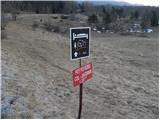 2
2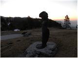 3
3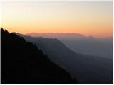 4
4 5
5 6
6 7
7 8
8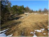 9
9 10
10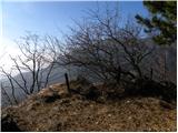 11
11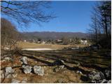 12
12 13
13 14
14 15
15 16
16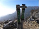 17
17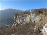 18
18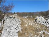 19
19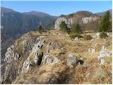 20
20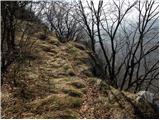 21
21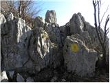 22
22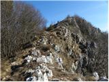 23
23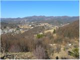 24
24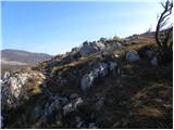 25
25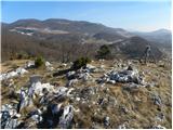 26
26 27
27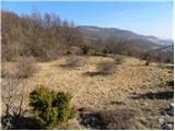 28
28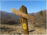 29
29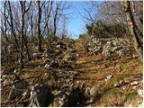 30
30 31
31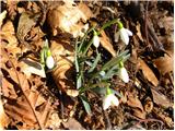 32
32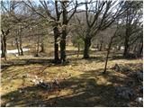 33
33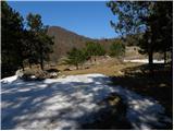 34
34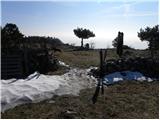 35
35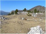 36
36 37
37 38
38 39
39 40
40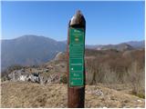 41
41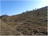 42
42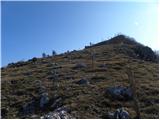 43
43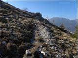 44
44 45
45 46
46 47
47 48
48 49
49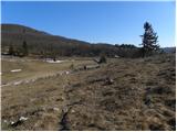 50
50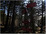 51
51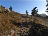 52
52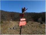 53
53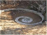 54
54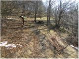 55
55 56
56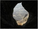 57
57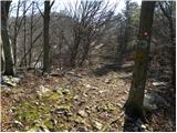 58
58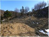 59
59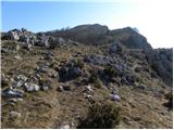 60
60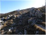 61
61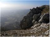 62
62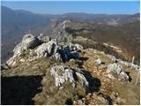 63
63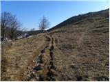 64
64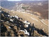 65
65 66
66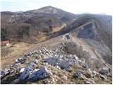 67
67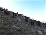 68
68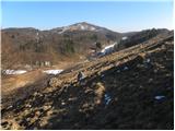 69
69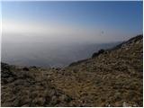 70
70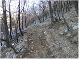 71
71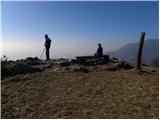 72
72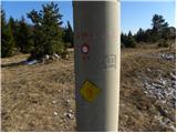 73
73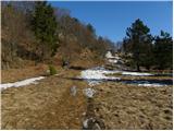 74
74 75
75 76
76 77
77 78
78 79
79 80
80 81
81 82
82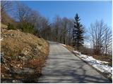 83
83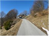 84
84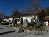 85
85 86
86 87
87 88
88 89
89 90
90 91
91 92
92