Radeljski prelaz - Kapunerhütte
Starting point: Radeljski prelaz (674 m)
Starting point Lat/Lon: 46.6447°N 15.2062°E 
Time of walking: 1 h 20 min
Difficulty: easy marked way
Difficulty of skiing: no data
Altitude difference: 329 m
Altitude difference (by path): 360 m
Map: Pohorje - izletniška karta 1:50.000
Access to starting point:
We drive to Radlje ob Dravi, and then we continue driving towards the mountain pass Radeljski prelaz. After few kilometers of ascent we get to the border crossing Radelj, where we park.
Path description:
On Austrian side of the mountain pass, we notice hiking signposts, including for the mountain hut Kapunerhütte, which point us sharply right on a macadam road. We ascend on the road to the edge of the forest, where we continue left, on the road which is closed for public traffic. Few minutes we are ascending on the road, and then blazes point us slightly to the right on a marked footpath which ascends through a clearing and from which a view opens up a little. Above the clearing, the path passes into the forest and on the Austrian side bypasses the peak Radelj (784 meters). During the crossing for some time a nice view opens up towards Golica / Koralpe, and then the path reaches national border, by which it continues. Next follows an ascent by the edge of a meadow, where on the left stands a larger private cottage, and with nice views, we ascend to the upper edge of a meadow, where the path returns into the forest. Through the forest, we follow the blazes, and the path at the religious symbol for some time reaches a cart track.
From the cart track, we go immediately slightly right and we ascend through the next clearing, from where again a nice view opens up, this time a little more on the Slovenian side, where we clearly see Uršlja gora and Peca. Higher, the path for some time runs by a mesh fence, and later it starts slightly descending. Next follows a light diagonal descent and crossing of a cart track, and then we already get to the mountain hut Kapunerhütte.
Description and pictures refer to a condition in the year 2019 (May).
Pictures:
 1
1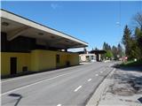 2
2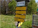 3
3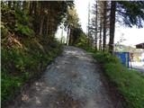 4
4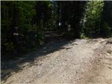 5
5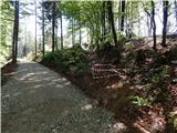 6
6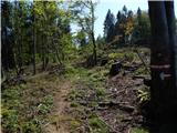 7
7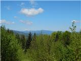 8
8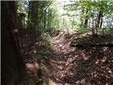 9
9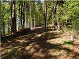 10
10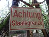 11
11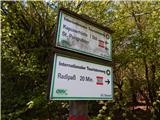 12
12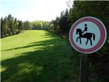 13
13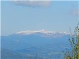 14
14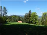 15
15 16
16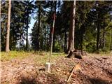 17
17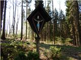 18
18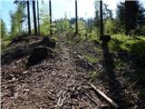 19
19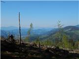 20
20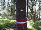 21
21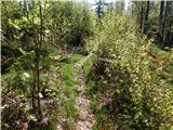 22
22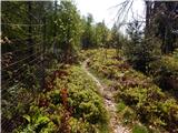 23
23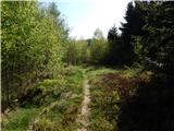 24
24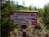 25
25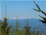 26
26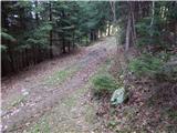 27
27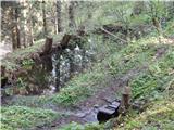 28
28 29
29 30
30