Radomerščak - Stanko Vraz House
Starting point: Radomerščak (232 m)
Starting point Lat/Lon: 46.50069°N 16.15929°E 
Time of walking: 30 min
Difficulty: easy marked way
Difficulty of skiing: no data
Altitude difference: 61 m
Altitude difference (by path): 80 m
Map:
Access to starting point:
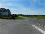
From Ormož we drive towards Ljutomer or vice versa, when we get to a crossroad, where towards the north the road branches off towards Kamenščak and Mekotnjak, and towards the south towards Radomerščak there is the beginning of the described path. At the crossroad, there aren't any parking spots.
Path description:
From the crossroad, we go on the road towards Radomerščak, and the path at first leads gently towards the south, and after few minutes becomes steeper, and at the crossroads, we follow the direction of the blazes. Further, the path leads us past several houses, and after a time the path starts lightly descending, and from the right the path from the settlement Žerovinci joins.
Immediately after the crossroad, we get to the settlement Cerovec Stanka Vraza, where the road splits. At the crossing there is information board about Stanko Vraz, and we continue on the right road which leads past the chapel, and there we quickly descend to the nearby birth house of Stanko Vraz, which we notice on the right side of the road.
Description and pictures refer to a condition in September 2022.
Pictures:
 1
1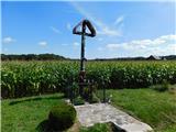 2
2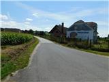 3
3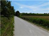 4
4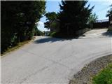 5
5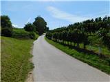 6
6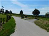 7
7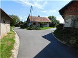 8
8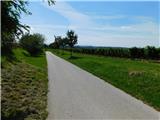 9
9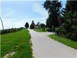 10
10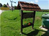 11
11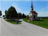 12
12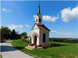 13
13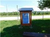 14
14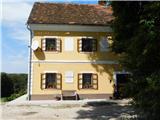 15
15