Rakovica - Archangel Gabriel (Planica)
Starting point: Rakovica (370 m)
Starting point Lat/Lon: 46.2504°N 14.3226°E 
Time of walking: 2 h 30 min
Difficulty: easy marked way
Difficulty of skiing: no data
Altitude difference: 454 m
Altitude difference (by path): 700 m
Map: Škofjeloško in Cerkljansko hribovje 1:50.000
Access to starting point:
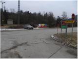
A) From Ljubljana, we drive along the old road towards Kranj, where we stick to the main road and follow it to the bridge over the Sava River. Just before the bridge, we leave the main road and continue driving straight in the direction of Besnica. We then drive to the village of Rakovica, where we park at a suitable spot by the bus stop.
B) From Jesenice or Bled, we drive on the motorway towards Ljubljana and follow it to the Kranj - West exit. We continue driving on the old regional road towards Ljubljana and drive to Kranj, where immediately after the bridge over the Sava River we turn right in the direction of Besnica. We then drive to the village of Rakovica, where we park at a suitable spot by the bus stop.
Path description:
From the parking lot by the bus stop, we head onto the asphalt road in the direction of the village Zabukovje. The road soon turns right into the forest, where it moderately ascends and brings us to a smaller crossroads, where we continue left in the direction of Sveti Jošt. We continue on the road for some time longer, along which we notice a few individual blazes, then it takes us past a few houses and a spring to an unmarked crossroads. Here we continue along the left "main" road, which brings us just a few dozen steps higher to a smaller hamlet, where the blazes direct us right between two houses. Behind the houses we leave the road and continue the ascent left on the marked footpath, which first ascends across a meadow, then transitions into the forest, through which it ascends on a cart track for quite some time. Higher up, the cart track turns into a steeper path, which brings us to a marked junction, where the path from the village Stražišče joins from the left.
Here we continue right in the direction of Sveti Jošt and proceed with a traversing ascent to the right. Somewhat higher we reach a larger chapel and above it the Dom Puščava (Društvo Rod zelenega Jošta).
Near the mentioned hut there is another chapel, next to which stands a mountaineering signpost informing us that for the ascent to Jošt we can choose the left gentle or the right steep path. Regardless of which path we choose, we reach the summit in a few minutes.
From Sveti Jošt we continue in the direction of the village Čepulje, Špičasti vrh and Sveti Mohor.
From Jošt the path descends relatively steeply across the summit slope, then crosses a road and enters the forest, through which it descends for a short time longer. After a short descent a path branches off to the right to Besnica, and we continue left in the direction of Sveti Mohor. Ahead the path gradually levels out, then continues with a few shorter ascents and descents. Somewhat further we briefly step onto the road but soon leave it, as the blazes direct us slightly right onto a wide cart track. The cart track gradually narrows and brings us to a marked junction, where we continue left downhill in the direction of the village Čepulje (straight to Špičasti vrh and Sveti Mohor). From the junction the path quickly descends to a smaller grassy valley, which we bypass on the left side. We continue on the marked path, which proceeds slightly left; it then begins to descend steeply towards the nearby asphalt road. When we reach the road we follow it to the right, and it quickly brings us to Čepulje, where there is a marked crossroads. From the crossroads we continue along the left road (direction Planica and Lavtarski Vrh) and proceed past the Gostilna na sedlu inn.
From the crossroads the road first descends slightly, then begins to ascend gradually towards Planica. Somewhat higher the blazes direct us slightly left onto a marked cart track, which ascends parallel to the road for some time before returning to it at the NOB monument.
At the monument the path from Crngrob joins from the left, and we continue along the asphalt road in the direction of Planica. From the monument the road quickly ascends to Planica, where just before the first house in the village we continue sharply right (direction Cerkev). We continue past a cross on the path, which quickly enters the forest, through which it begins to ascend more steeply. We follow this path, which is somewhat steeper in the final section and mostly runs through the forest, all the way to the summit, which we reach after a few more minutes of walking.
Rakovica - Sveti Jošt 1:20, Sveti Jošt - Planina 1:10.
Pictures:
 1
1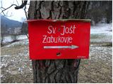 2
2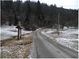 3
3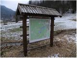 4
4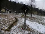 5
5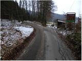 6
6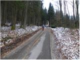 7
7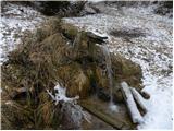 8
8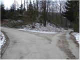 9
9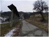 10
10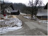 11
11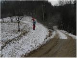 12
12 13
13 14
14 15
15 16
16 17
17 18
18 19
19 20
20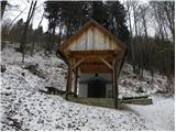 21
21 22
22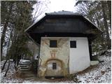 23
23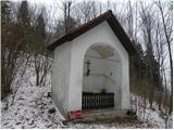 24
24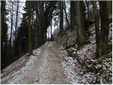 25
25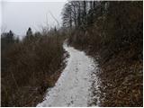 26
26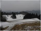 27
27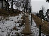 28
28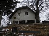 29
29 30
30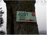 31
31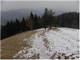 32
32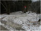 33
33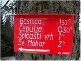 34
34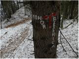 35
35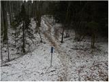 36
36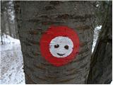 37
37 38
38 39
39 40
40 41
41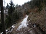 42
42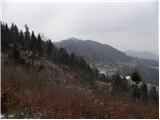 43
43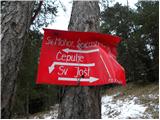 44
44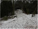 45
45 46
46 47
47 48
48 49
49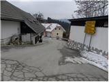 50
50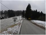 51
51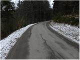 52
52 53
53 54
54 55
55 56
56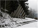 57
57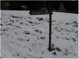 58
58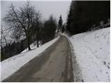 59
59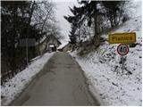 60
60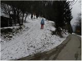 61
61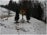 62
62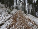 63
63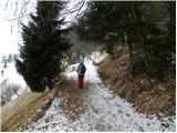 64
64 65
65 66
66