Razdrto - Vojkova koča na Nanosu (Janez way)
Starting point: Razdrto (575 m)
Starting point Lat/Lon: 45.7591°N 14.0619°E 
Path name: Janez way
Time of walking: 2 h
Difficulty: easy unmarked way
Difficulty of skiing: no data
Altitude difference: 665 m
Altitude difference (by path): 665 m
Map: Nanos 1:50.000
Access to starting point:
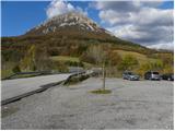
From highway Ljubljana - Koper or Ljubljana - Nova Gorica we go to the exit Razdrto. We follow the road ahead in the village Razdrto and then in the center of the village we continue in the direction of village Strane and Veliko Ubeljsko. Only a little above the village we will get to a large parking lot on which we park.
Path description:
From the parking lot, we cross the bridge over the highway, and then at the crossroad we continue left in the direction of the mountain hut Vojkova koča and Abram. After few 10 strides of walking on the macadam road, signs for Nanos point us to the right on a moderately steep footpath which starts ascending on a panoramic grassy slope. After a short ascent, the path passes into a lane of bushes, which higher passes into the forest. The path then turns a little towards the left and it brings us to a marked crossing, where we continue right in the direction of "Nanos - steep path". Further, we are for some time still moderately ascending, and then the path gradually starts ascending steeper and steeper. Higher, we notice an interesting verse, and we follow the marked path only few minutes, to the near indistinct vantage point. At the "vantage" point, the marked path turns sharply to the right, and we continue straight on a quite narrower, but well followable hunting path. The hunting path in a gentle ascent crosses relatively steep slopes, and then after approximately 15 minutes of walking from the spot, where we left the marked path, brings us on unmarked, but well visible crossing.
Here we go right and we continue the ascent on a quite steep so-called Janez way. Steep path, which is ascending on the slope almost straight upwards, soon comes out of the forest, and there it ascends even steeper. We continue the ascent on an easy to follow and very steep path, which is ascending on the slopes of Rebrnice. The path which is because of substantial steepness exposed to falling stones (path otherwise runs on a grassy slope therefore there aren't a lot of stones, but the game or someone else can trigger the stones), after approximately 30 minutes of a steep ascent brings us on the edge of Nanos plateau, where it flattens. Here we go sharply right and we continue the ascent on a wide footpath which leads us towards the transmitters on Nanos. Only a little before transmitters path turns to the left, descends into a lane of a forest and then past the monument of Janko Premrl Vojko, brings us to the mountain hut Vojkova koča on Nanos.
Pictures:
 1
1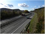 2
2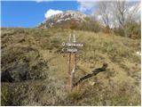 3
3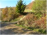 4
4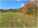 5
5 6
6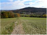 7
7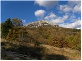 8
8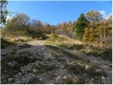 9
9 10
10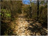 11
11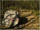 12
12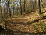 13
13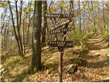 14
14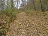 15
15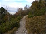 16
16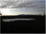 17
17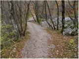 18
18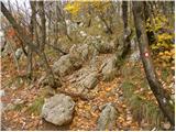 19
19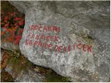 20
20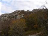 21
21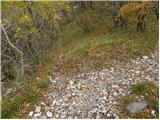 22
22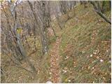 23
23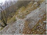 24
24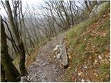 25
25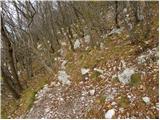 26
26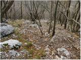 27
27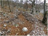 28
28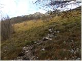 29
29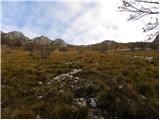 30
30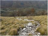 31
31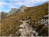 32
32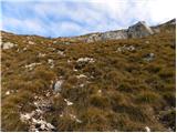 33
33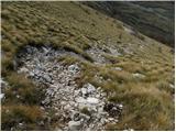 34
34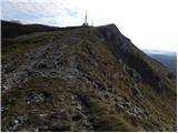 35
35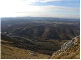 36
36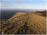 37
37 38
38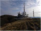 39
39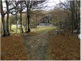 40
40 41
41