Razdrto - Vojkova koča na Nanosu (steep way)
Starting point: Razdrto (575 m)
Starting point Lat/Lon: 45.7591°N 14.0619°E 
Path name: steep way
Time of walking: 1 h 45 min
Difficulty: partly demanding marked way
Difficulty of skiing: more demanding
Altitude difference: 665 m
Altitude difference (by path): 665 m
Map: Nanos 1:50.000
Access to starting point:
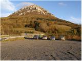
From highway Ljubljana - Koper or Ljubljana - Nova Gorica we go to the exit Razdrto. We follow the road ahead in the village Razdrto and then in the center of the village we continue in the direction of village Strane and Veliko Ubeljsko. Only a little above the village we will get to a large parking lot on which we park.
Path description:
From the parking lot, we continue on the asphalt road which over a bridge crosses the highway and on the other side brings us to a smaller crossroad at mountain signposts. Here we continue left on a macadam road to the spot, where the footpath on Nanos branches off to the right upward. The path at first ascends on a grassy slope, and then goes into the forest, where after few minutes brings us to the crossing.
We continue right in the direction of the steep path (straight gentle path). The path is then for some time still moderately ascending, crosses scree and then steeply ascends. Further, the path brings us to first steel cable with the help of which we cross a short slightly exposed ledge. The path is then steeply ascending on a steep but slightly vegetated slope. Ahead we get to for Slovenian mountains unusual chain, which serves as a steel cable. With the help of the chain, we ascend on rugged rocks to a nice panoramic spot. The path here turns a little to the left and is then ascending on an unvegetated slope. On even steeper parts we have fixed safety gear for help, which aren't necessary. More caution is needed, if the ground is wet or icy. The steepness then decreases and the path brings us to a crossing, where we have two options to continue. The path straight goes to the hut over the peak, and the right bypasses it. Both paths a little before the mountain hut join and they are approximately equally long (15 minutes).
Pictures:
 1
1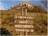 2
2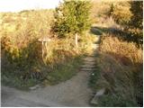 3
3 4
4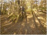 5
5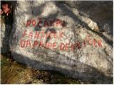 6
6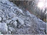 7
7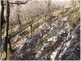 8
8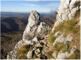 9
9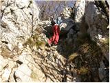 10
10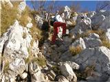 11
11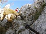 12
12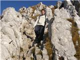 13
13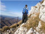 14
14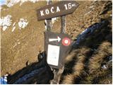 15
15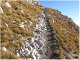 16
16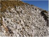 17
17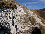 18
18 19
19