Starting point: Reka (253 m)
| Latitude/Longitude: | 46,1175°N 13,9214°E |
| |
Walking time: 3 h
Difficulty: partly demanding marked way, easy unmarked way
Elevation gain: 826 m
Elevation difference along the route: 826 m
Map: Škofjeloško in Cerkljansko hribovje 1:50.000
Recommended equipment (summer): helmet
Recommended equipment (winter): helmet, ice axe, crampons
Views: 5.773
 | 2 people like this post |
Access to starting point:
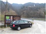
A) First, we drive to Idrija, and then we continue driving towards Tolmin. After some time the road brings us to a crossroad, where the road to Cerkno branches off to the right, and we here still continue straight, but we need to pay attention because we will soon get to the settlement Reka. Immediately after the end of the settlement, at first we notice signs for Kojca and a few 10 meters ahead also for Šebrelje. Here a narrower road branches off to the left, which over a bridge through the river Idrijca brings us to a smaller parking lot by information boards for Archaeological park Divje babe.
B) From Most na Soči or Podbrdo we drive to the settlement Bača pri Modreju, and then we continue driving towards Idrija. Only a few 10 meters before the settlement Reka starts we turn right over a bridge through the river Idrijca and then park on a smaller parking lot by information boards.
Route description:
From the very starting point we can already see the church of St. Ivan, which stands on the top of a quite steep ridge and can serve for better orientation. From the starting point, we continue on the road which at first turns to the left and it quickly brings us to a crossing at a hayrack. We continue right on the road to the last house where we then continue left and start ascending steeper on a grassy slope. Higher, the path brings us into the forest and continues to ascend. Occasionally a view opens up towards the peaks north from us and the path soon brings us to a smaller saddle. Further, the path runs on the southeastern side of the mountain and brings us on a steep and on some spots also precipitous slopes. The path is otherwise nice and quite wide but some caution is recommended. Further, the path becomes less demanding and brings us on the road.
To the right leads the road to the near church of St. Ivan, not far away is also archaeological site Divje Babe.
In case we won't visit the mentioned destinations at the crossing we continue left and the road soon brings us in the village Šebrelje. Through the village we all the time walk on the main asphalt road. Near the church we get to a little bigger crossroad, where we continue straight past the fire station where also markers point us to. We still walk on the main road which later brings us to the hunting lodge.
Asphalt road then soon passes into a macadam and starts ascending through the forest. The road through the forest brings us to a crossing, where from the left joins the path from the village Jagršče. We continue right following the signs »Krnice«. The road for some time leads through the forest, we then come on a saddle, where we will on the left side of the road notice a chapel.
On the saddle, we leave the main road and we continue slightly to the right on a narrow cart track which leads on the left side of the house. Cart track ascends through the forest and brings us on grassy slopes. We still follow the cart track which is ascending in zig-zags on grassy slopes. A little below the top cart track ends and then follows an ascent on a grassy slope towards the summit, which we already see in front of us. For orientation we also get help from a big sign, which is situated on the top of the hill.

Photos:
 1
1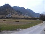 2
2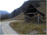 3
3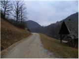 4
4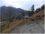 5
5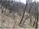 6
6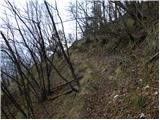 7
7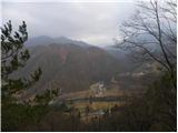 8
8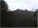 9
9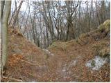 10
10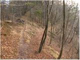 11
11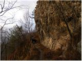 12
12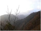 13
13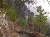 14
14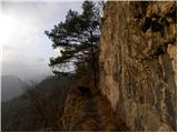 15
15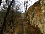 16
16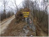 17
17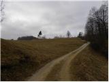 18
18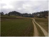 19
19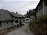 20
20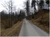 21
21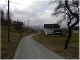 22
22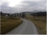 23
23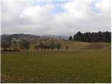 24
24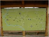 25
25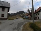 26
26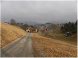 27
27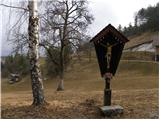 28
28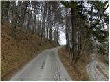 29
29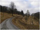 30
30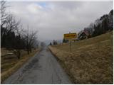 31
31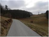 32
32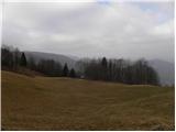 33
33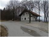 34
34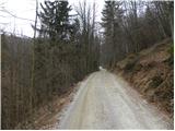 35
35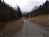 36
36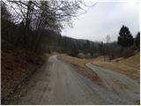 37
37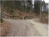 38
38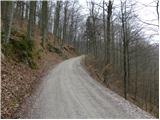 39
39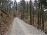 40
40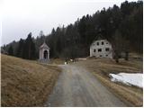 41
41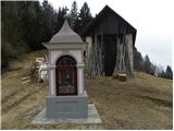 42
42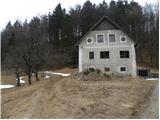 43
43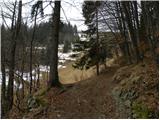 44
44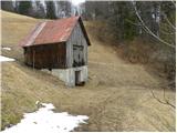 45
45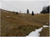 46
46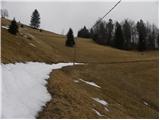 47
47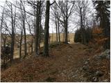 48
48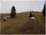 49
49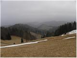 50
50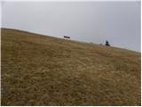 51
51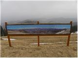 52
52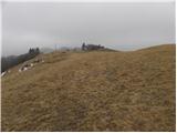 53
53 54
54
Discussion about the trip Reka - Vrhovec
|
| miri26. 03. 2012 |
Locals also call Vrhovec Lokvarski vrh.
|
|
|
|
| Eisheth10. 07. 2017 |
I'm wondering how the path is marked? Are the markers well visible? Thanks 
|
|
|
|
| miri10. 07. 2017 |
There is no particular problem with orientation. Stick to the description. I don't know how many markers there are.
Good luck
|
|
|
|
| valerija11210. 07. 2017 |
As Miri says, we followed this description pictures included. We reached the top without problems. From the top you can see half of Slovenia and a bit more. Enjoy.
|
|
|
|
| valerija11210. 07. 2017 |
And one more thing. Don't pass by without checking out the wild women!!!!!
|
|
|
To post a comment you must log in:
If you do not yet have a username, you must first
register.