Rudijev dom na Donački gori - Source of Sotla
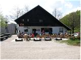
Starting point: Rudijev dom na Donački gori (590 m)
Starting point Lat/Lon: 46.2644°N 15.7347°E 
Time of walking: 2 h 45 min
Difficulty: easy marked way
Difficulty of skiing: partly demanding
Altitude difference: 50 m
Altitude difference (by path): 350 m
Map:
Access to starting point:
From the highway Ljubljana - Maribor we go to the exit Dramlje and follow the road ahead in the direction of Šentjur, Rogaška Slatina and Rogatec. In Rogatec signs for Donačka gora point us to the left. Ahead at the crossroads we follow the signs for Donačka gora and Rudijev dom. A well-marked road then brings us to the mountain hut Rudijev dom, near which we park.
Path description:
From the mountain hut Rudijev dom we go on the road in the direction of the source of the Sotla (road on which we came to the starting point). After approximately five minutes of descent on an asphalt road, we will notice signs, which point us to the left on a footpath which on the left side bypasses a local farm.
The path ahead crosses a short panoramic slope (a view on surrounding hills), and then goes into the forest, where it continues with crossing the slopes. The path, which is on a short part a little dangerous for slipping, quickly brings us out of the forest, to a somewhat larger clearing, in the middle of which stands the church of St. Donatus.
From the church, we continue on a cart track in the direction of the source of the Sotla. The cart track, which is further slightly descending by the edge of panoramic meadows, quickly brings us to the next well-marked junction, where we continue left in the direction of the source of the Sotla (straight downwards Sveti Jurij).
We continue on a grassy cart track which crosses the southern slopes of Donačka gora (in hot days we have to watch out for snakes). A pleasant path soon brings us to the next junction, where we continue right downwards in the direction of the source of the Sotla (straight Donačka gora) on a somewhat more overgrown cart track which ends on a macadam road which we follow to the left. We continue on the mentioned macadam road which a little further gets an asphalt covering and then it starts descending steeper. After a short descent, the path brings us to the pass Vrhe (pass between municipalities Rogatec and Žetale), where we continue left.
Already after a few steps of descent on "the main" road, at the very beginning of the village Čermožiše, signs for the source of the Sotla point us to the right on a macadam road which we follow only a few dozen meters. Here we will notice a marked cart track which from the macadam road turns to the right and starts moderately ascending through the forest. We continue the ascent on a well-marked cart track which higher brings us to a forest road which we follow to the left, and it quickly brings us to the hunting cottage (Koserjeva koča).
Immediately after the cottage we leave the macadam road, because blazes point us to the left on a footpath which starts ascending steeper through a dense forest. The path soon brings us on a wide ridge of Maclja, where it flattens, and then it continues with some shorter ascents and descents. When a nice view opens up on Donačka gora, we leave the ridge and we continue slightly right, on a cart track, that starts descending. After a few minutes of descent, we come to the next junction, where we continue sharply left (slightly right Trlično and Lipovec). Further, we gently ascend on a grassy cart track, and then signs for the source of the Sotla point us to the right on a footpath, on which in a minute of additional walking, we descend to the source.
Pictures:
 1
1 2
2 3
3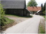 4
4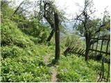 5
5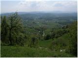 6
6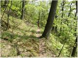 7
7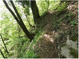 8
8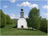 9
9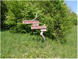 10
10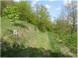 11
11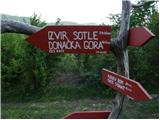 12
12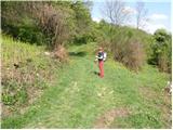 13
13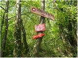 14
14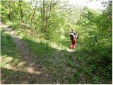 15
15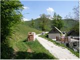 16
16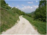 17
17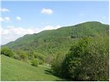 18
18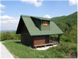 19
19 20
20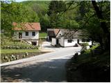 21
21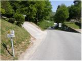 22
22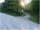 23
23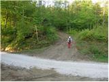 24
24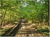 25
25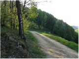 26
26 27
27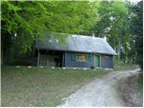 28
28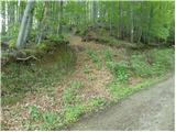 29
29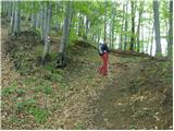 30
30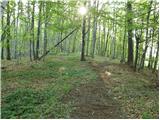 31
31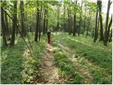 32
32 33
33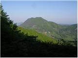 34
34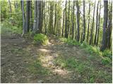 35
35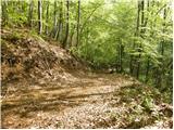 36
36 37
37 38
38 39
39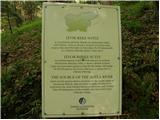 40
40 41
41