Savica - Kamin Široka polica (Ferata Kamin Široka polica)
Starting point: Savica (508 m)
Starting point Lat/Lon: 46.27501°N 13.92287°E 
Path name: Ferata Kamin Široka polica
Time of walking: 1 h 40 min
Difficulty: extremely difficult marked way
Ferrata: D/E
Difficulty of skiing: no data
Altitude difference: 272 m
Altitude difference (by path): 272 m
Map: TNP 1:50.000
Access to starting point:
From highway Ljubljana - Jesenice we go to the exit Lesce and follow the road towards Bled and Bohinjska Bistrica. In Bohinjska Bistrica we continue driving in the direction of Lake Bohinj. And when we get to the settlement Savica, after the bus stop we turn right on a narrow asphalt road. We continue driving through the village and over the bridge we cross river Sava Bohinjka. Immediately after the bridge we turn left and we park on a smaller parking lot.
Path description:
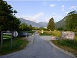
From the parking lot, we continue on the asphalt cycling path parallel with the river Sava Bohinjka. After approximately 500 meters we leave the cycling path and we go right on a cart track.
The cart track quickly brings us into the forest where there is a smaller crossroad. To the left leads a cart track on a clearing, and we continue right where already after few meters, we come again to a crossing. Here we also notice the first signs.
An arrow on the tree points us to the left and then follows a little steeper ascent on a rough cart track. A little higher, the cart track turns to the right, and the arrow on the tree points us left on a slightly overgrown path. Further, we walk through the forest where the footpath mostly isn't visible and we get help from red signs on the trees or rocks. Out of the forest we then come on the scree where the footpath is again a little better visible. Here we continue left and we in ascent cross the scree. The path then turns to the right and it brings us to the entrance into a secured climbing path.
In front of the entry we must equip ourselves with a self-belay set and a helmet. Because of a little narrower steel cables it is highly recommended to use climbing gloves.
In the first part of the secured path we climb on a slope on which there is also some dirt and grass (difficulty to C/D). On less demanding parts the pitches of steel cables are a little longer as it is usually on a secured paths. Higher, the path turns slightly to the right and it brings us to the chimney. Here the climbing becomes more demanding and it is also recommended to use climbing shoes and a short rope for resting.
The ascent on chimney or dihedral reaches difficulty D/E.
On this part we should use a little more natural holds and footholds, because the steel cable is placed the way that it is intended mainly for protection.
Difficulty then starts decreasing and the path on which there is again some grass and smaller branches brings us to the end of the secured path.
We descend on a poorly beaten footpath which is marked with red dots and later joins the path which leads on Rudnica. We follow the mentioned path to the right and we soon come on a larger clearing where there is a marked crossing.
We descend right towards the village Brod. And when we come in the mentioned village we continue right on a cycling path back to the starting point.
The described path has a difficulty level D/E and it is appropriate only for experienced mountaineers with enough strength in arms. Some additional problems can cause also a steel cable, which is a little thinner as it is usually on so demanding paths. Steel cables are attached on bolts and not on normal pitons as we see on most other secured paths. The climbing part of the path runs on the south slopes which are in the summer months very hot.
Pictures:
 1
1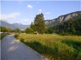 2
2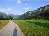 3
3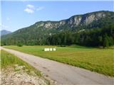 4
4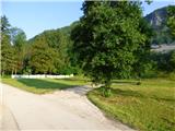 5
5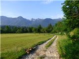 6
6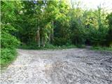 7
7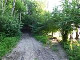 8
8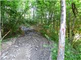 9
9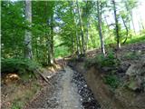 10
10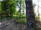 11
11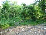 12
12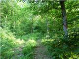 13
13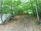 14
14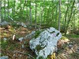 15
15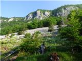 16
16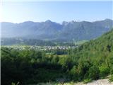 17
17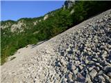 18
18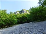 19
19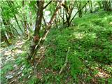 20
20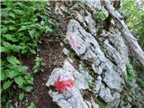 21
21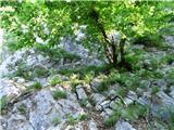 22
22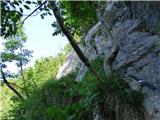 23
23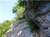 24
24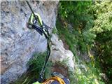 25
25 26
26 27
27 28
28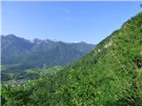 29
29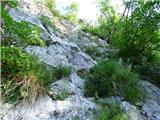 30
30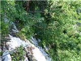 31
31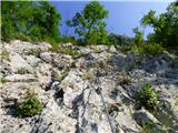 32
32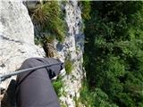 33
33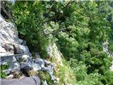 34
34 35
35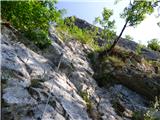 36
36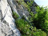 37
37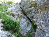 38
38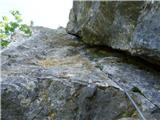 39
39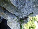 40
40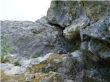 41
41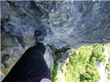 42
42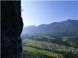 43
43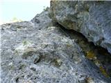 44
44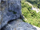 45
45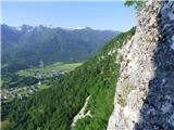 46
46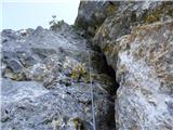 47
47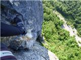 48
48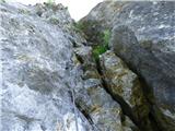 49
49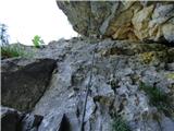 50
50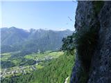 51
51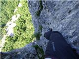 52
52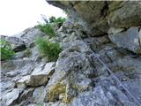 53
53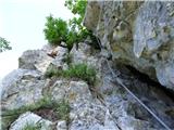 54
54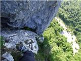 55
55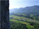 56
56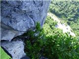 57
57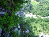 58
58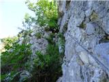 59
59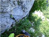 60
60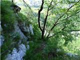 61
61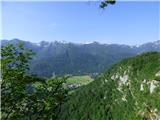 62
62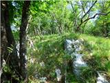 63
63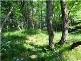 64
64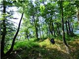 65
65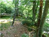 66
66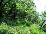 67
67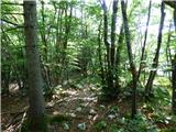 68
68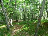 69
69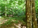 70
70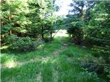 71
71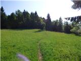 72
72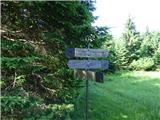 73
73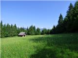 74
74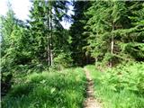 75
75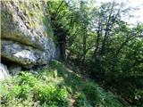 76
76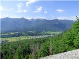 77
77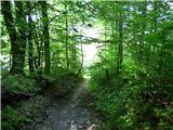 78
78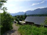 79
79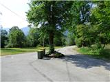 80
80 81
81 82
82