Selce - Gregorčič waterfall
Starting point: Selce (382 m)
Starting point Lat/Lon: 46.21636°N 13.64891°E 
Time of walking: 1 h
Difficulty: difficult unmarked way
Difficulty of skiing: no data
Altitude difference: 8 m
Altitude difference (by path): 230 m
Map: Krn 1:25000
Access to starting point:
From Tolmin we drive towards Kobarid, but only to a spot, where the road branches off to the right in the village Kamno (from the direction Kobarid left). We follow a relatively narrow road through the village and we follow the signs for Vrsno. After a short ascent towards the right at the crossroad we turn towards the hamlet Selce. After about 20 meters on the right we notice a small parking spot (luckily only rarely occupied).
Path description:
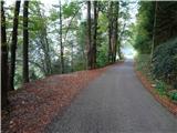
From the spot where we've left a car we continue on the road in the village. When we are already among houses we turn right on a narrower road. Behind the houses, we notice signposts, which point us on a meadow ascending cart track. We quickly come to the fence for horses through which we have to go. On the other side behind the gate we look for the beginning of a narrow footpath. It immediately starts descending on increasingly steep slopes. After crossing of smaller, but very steep scree, the path descends even steeper. We soon reach the bottom of gorge and we cross most of the time dry riverbed. On the other side, we notice a grave of unknown Russian soldier and a crossing. We continue right (left waterfall Brinta, distant 3 minutes) on a still narrow footpath which starts ascending through the forest. We are very quickly at the second crossing, we continue left (right partisan hospital). Very narrow and in some parts poorly hardened footpath starts crossing a very steep slope (mainly in wet dangerous for slipping!). After few minutes, we get to a clearing, from which we have a view on the waterfall and continuation of the footpath on the scree. After the crossing of first we steeply ascend through vegetation, and then we cross also the second. After it in few hairpin turns we steeply descend almost to a riverbed of the stream. On one spot over a steep rocky jump we get help from a rope. By the rope and two iron spikes we then ascend over another jump. After a short steep ascent, we notice the waterfall and pool below it. To there separate us three minutes of easy climbing on stones and rocks.
On the way: slap Brinta (340m)
Pictures:
 1
1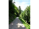 2
2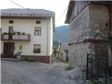 3
3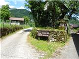 4
4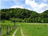 5
5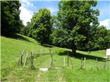 6
6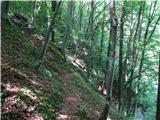 7
7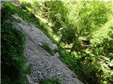 8
8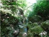 9
9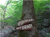 10
10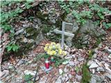 11
11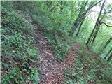 12
12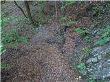 13
13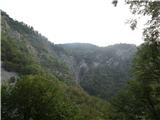 14
14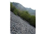 15
15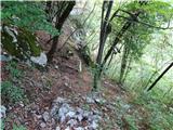 16
16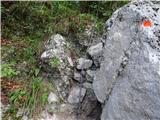 17
17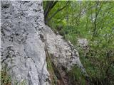 18
18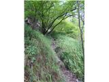 19
19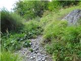 20
20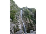 21
21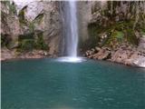 22
22