Sella Nevea - Monte Cregnedul (unmarked mule track)
Starting point: Sella Nevea (1176 m)
Starting point Lat/Lon: 46.3908°N 13.4755°E 
Path name: unmarked mule track
Time of walking: 3 h 45 min
Difficulty: partly demanding unmarked way
Difficulty of skiing: no data
Altitude difference: 1175 m
Altitude difference (by path): 1175 m
Map: Tabacco 019 1:25000 ali Julijske Alpe -Zahodni del (PZS) 1:50000
Access to starting point:
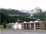
A) Over the border crossing Rateče we drive to Trbiž / Tarvisio. Right before Trbiž we turn left towards Predel or Bovec and the road we follow to a crossroad before lake Rabeljsko jezero. Here we continue right towards Nevejski preval / Sella Nevea. On the saddle, we can park on a macadam parking lot below smaller ski slope on the right, Viš side.
B) From Bovec over Predel we descend on the Italian side. Only a little after the lake Rabeljsko jezero at the crossroad we continue left towards the saddle Sella Nevea / Na Žlebeh. C) From the road between Videm and Trbiž in the settlement Kluže / Chiusaforte we turn through the valley Reklanica to mountain pass, past lower station of the cable car and turn-off for mountain pasture Pecol to a ski slope on the left side of the road.
Path description:
By the road, we will notice more signposts, which mark path 625 towards the mountain hut Corsi. We ascend by the ski slope on a poorly beaten footpath which brings us to a macadam road which is ascending on the right side of the ski slope. For some time we are then ascending on the road, and then blazes point us to the left in the forest. After a short ascent, we come to a crossroad, where we continue right on the path 625, and left path branches off towards the mountain pasture Krni dol / Cragnedul and forward towards Pecol and mountain hut Brazza. The path is then still ascending through the forest and it brings us to a crossroad, where another path branches off to the left, which runs towards the nearby mountain pasture. At the altitude 1624 meters we run into ruins. Here we leave the marked path 625, which runs right further towards the saddle Passo degli Scalini (2022 meters), and we follow a well-beaten path – mule track into slopes below Špik nad Špranjo / Modeon del Buinz and later in the side ridge of Planota. Unmarked path gently zig-zags over an extensive grassy slopes, where in the summer is real heaven for lovers of flowers and photographers, and usually there is also a lot of ibexes. Mule track brings us to the side ridge, it crosses it and next to it by remains of military structures brings us on notch Krnidolska škrbina (around 2320 meters), from where it is nearby peak easily accessible. Right below the notch is cavern with a window. On the notch our path joins marked ferrata Ceria-Merlone, on which we can right on a ladder descend into notch Škrbina Prednje špranje and towards the mountain hut Corsi below Viš, on and left starts almost horizontal crossing of ledges, which in less than half an hour brings us to Špica in Planji (2411 meters), and later also below sharp ridge Nižnji vrhovi on notch La Val, Špik nad Špranjo (2558 meters) and Špik nad Nosom (2531 meters).
Right from cavern we look for easiest passages and in few minutes we reach the panoramic peak. There is a bigger cairn.
Pathless ascent to the summit (3 minutes) is for a level harder as a walk on partly rough mule track.
On the way: Planina Krni dol /Casere Cregnedul di sopra (1511m), ruševine (1624m), Krnidolska škrbina (2320m)
Pictures:
 1
1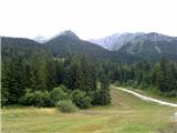 2
2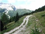 3
3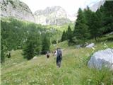 4
4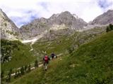 5
5 6
6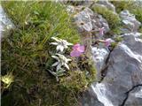 7
7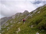 8
8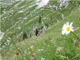 9
9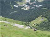 10
10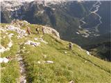 11
11 12
12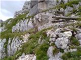 13
13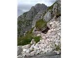 14
14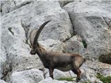 15
15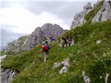 16
16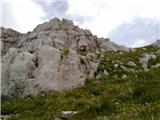 17
17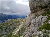 18
18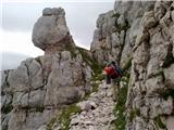 19
19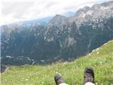 20
20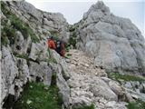 21
21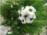 22
22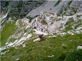 23
23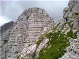 24
24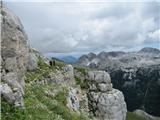 25
25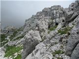 26
26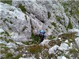 27
27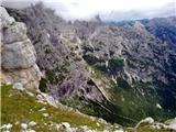 28
28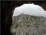 29
29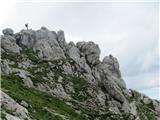 30
30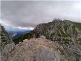 31
31 32
32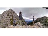 33
33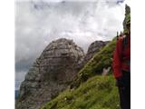 34
34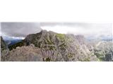 35
35