Selski most - Chapel Na Koren
Starting point: Selski most (427 m)
Starting point Lat/Lon: 46.3459°N 14.1026°E 
Time of walking: 30 min
Difficulty: easy marked way
Difficulty of skiing: no data
Altitude difference: 123 m
Altitude difference (by path): 123 m
Map: Karavanke - osrednji del 1:50.000
Access to starting point:
From the highway Ljubljana - Jesenice we go to the exit Lesce, and we continue driving towards Bled. In Bled at the crossroads after the gas station on the right we turn left in the direction of Ribno, Selo. After 2 km of driving, at the crossroads before the village Ribno we turn slightly right towards Selo, where we arrive after a short drive. At the crossroads in the middle of the village, we turn left in the direction of Sava, Kupljenik. We follow the road which descends and a little after that loses its asphalt pavement to the bridge over the river Sava Bohinjka.
Path description:
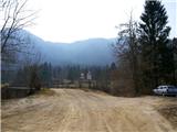
From the starting point, we go over the bridge, and on the other side, we go right on a cart track, where signs for Boh. Bela, Kupljenik, Talež point us. Soon at the crossing, we continue straight (left Talež) and then at the fork of the cart track also slightly left. The path soon starts ascending and acquiring the appearance of a forest cart track. A double bend follows in which we ignore the left fork of the forest cart track and continue following the sign for Kupljenik, on the path which ascends the slope in the west direction. A path similar to a cart track brings us higher to a small bridge with a wooden fence, where we notice the chapel Na Koren. On the other side of the small bridge, already after a few meters, we turn left off the path and approach the chapel, from where a nice view opens up on Bled's surroundings with the castle and nearby hills, and on the Karawanks in the background. Near the chapel we also come upon a pleasant bench.
Pictures:
 1
1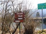 2
2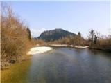 3
3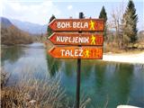 4
4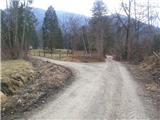 5
5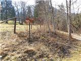 6
6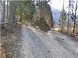 7
7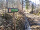 8
8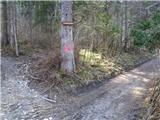 9
9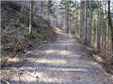 10
10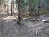 11
11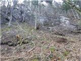 12
12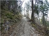 13
13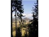 14
14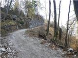 15
15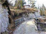 16
16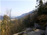 17
17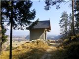 18
18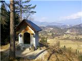 19
19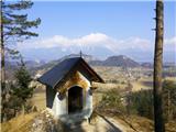 20
20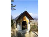 21
21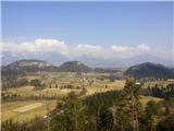 22
22 23
23 24
24