Šenturška Gora - Prgozdnik (Martinova pot)
Starting point: Šenturška Gora (667 m)
Starting point Lat/Lon: 46.2584°N 14.5449°E 
Path name: Martinova pot
Time of walking: 1 h 5 min
Difficulty: easy unmarked way
Difficulty of skiing: no data
Altitude difference: 346 m
Altitude difference (by path): 346 m
Map:
Access to starting point:
A) From highway Ljubljana - Jesenice we go to the exit Vodice, and then we follow the signs for ski slope Krvavec. Further, we drive through Vodice, Spodnji Brnik, Zgornji Brnik, Cerklje na Gorenjskem to the settlement Grad, where we continue right in the direction of Ambrož pod Krvavcem and Šenturška Gora. Next follows a steep ascent, when the road flattens we continue straight towards Šenturška Gora (left Ambrož pod Krvavcem and Stiška vas). Next follows also driving through Ravne and Apno, and then we already get to Šenturška Gora, where we park on a parking lot by Krajevni dom.
B) From highway Jesenice - Ljubljana we go to the exit Brnik, and then we follow the signs for ski slope Krvavec. Further, we drive past the airport and through settlements Spodnji Brnik, Zgornji Brnik, Cerklje na Gorenjskem and settlement Grad, where we continue right in the direction of Ambrož pod Krvavcem and Šenturška Gora. Next follows a steep ascent, when the road flattens we continue straight towards Šenturška Gora (left Ambrož pod Krvavcem and Stiška vas). Next follows also driving through Ravne and Apno, and then we already get to Šenturška Gora, where we park on a parking lot by Krajevni dom.
C) First, we drive to Kamnik, and then we go towards Tunjice. From Tunjice we follow the road towards Sidraž, and from Sidraž towards Šenturška Gora. When we get to Šenturška Gora we park on a parking lot behind Krajevni dom.
Path description:
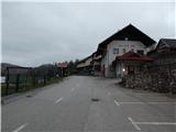
From Krajevni dom in Šenturška Gora, opposite of which is situated also children's playground, we continue on the asphalt road which continues towards the east and leads towards Sidraž. After few minutes of walking on the asphalt road the settlement Šenturška Gora ends, and only few steps further we get to a marked crossroad.
From the crossroad, we continue on the left road in the direction of Sveti Lenart, and from there we go immediately left in the direction of Sveti Ambrož and Krvavec, so that on the left side we bypass the nearby sports field. Blazes and signs for path Martinova pot point us on the path which ascends by the sports field and above it passes into the forest through which it ascends to the spot, where we return on the road.
On an ascending road, continues a marked path, and at the turn we leave the road and we continue slightly left in the direction of the path Martinova pot. The path Martinova pot further isn't marked, but the crossings are marked, and the path mostly leads on a forested ridge, occasionally also quite steeply upwards. The path which mostly runs on cart tracks, and higher on a forest footpath, then without much view brings us to the inscription box on Prgozdnik.
Description and pictures refer to a condition in the year 2019 (April).
Pictures:
 1
1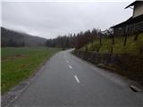 2
2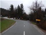 3
3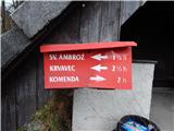 4
4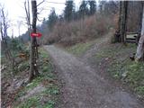 5
5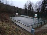 6
6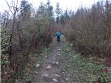 7
7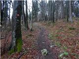 8
8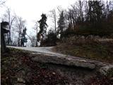 9
9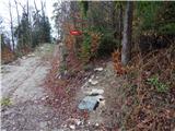 10
10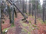 11
11 12
12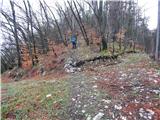 13
13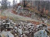 14
14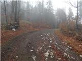 15
15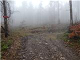 16
16 17
17 18
18 19
19 20
20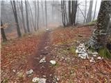 21
21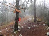 22
22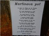 23
23