Šešče pri Preboldu - Dragov dom na Homu (Brdovska pot)
Starting point: Šešče pri Preboldu (286 m)
Starting point Lat/Lon: 46.23629°N 15.12331°E 
Path name: Brdovska pot
Time of walking: 1 h 15 min
Difficulty: easy marked way
Difficulty of skiing: no data
Altitude difference: 321 m
Altitude difference (by path): 335 m
Map:
Access to starting point:
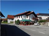
We leave Štajerska highway at exit Šempeter, and then we follow the signs for Šempeter. From the center of Šempeter v Savinjski dolini at the traffic light crossroad we turn right towards Šešče pri Preboldu. When Šempeter ends we follow the main road or signs for Šešče or Matke. After crossing the river Savinja we get to the settlement Šešče pri Preboldu, where we go right towards Matke and Sveti Lovrenc (left - Griže), and few meters ahead left towards Matke. We drive few 100 meters ahead, and then we get to Dom kulture Šešče, fire station Šešče and a store, where the described path begins. We park on an appropriate place by the mentioned facilities.
Path description:
From the starting point, we go on the right road (to the left leads a little shorter path on Hom), where we walk on an asphalt road towards Matke. Šešče pri Preboldu after few minutes ends, and after the bridge over the stream Kolja we join the road from Sveti Lovrenc. After a short ascent some descent follows, and when we get to the chapel, signs for Hom and the path Brdovska pot point us to the left on a side road.
After the smaller bridge, we continue straight, and a little ahead we go slightly right. Next follows some ascent past few houses, and at company IPO the road on which we continue turns sharply left (some maps show that the path goes straight on a cart track). Few steps ahead we go right and we ascend to the edge of the forest, where the asphalt road ends.
Here we continue left on a marked path, which at first continues by the edge of the forest, and when we step into the forest, the path becomes better beaten. Higher, the path narrows and few minutes higher we join a little shorter path from Šešče and with one of the paths from Griže.
We continue right, where past 300 years old tree we get to the chapel, where we join the direct path from Griže.
We continue straight, where we further walk on a less steep cart track, and when we leave the forest we get to a small saddle, where the path from the hamlet Zahom joins.
Here when looking to the right side, a nice view opens up, which in good visibility reaches all the way to Kamnik Savinja Alps, and we go past the nearby house and we continue on a steep macadam road which we follow all the way to the top of Hom, where there are church of St. Marija Magdalena and mountain hut Dragov dom na Homu.
Description and pictures refer to a condition in July and September 2021.
On the way: Matke (374m)
Pictures:
 1
1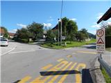 2
2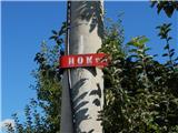 3
3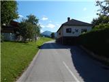 4
4 5
5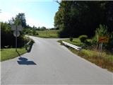 6
6 7
7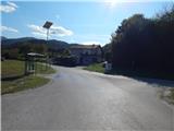 8
8 9
9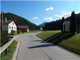 10
10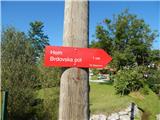 11
11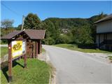 12
12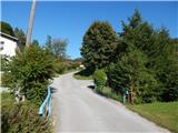 13
13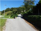 14
14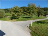 15
15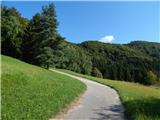 16
16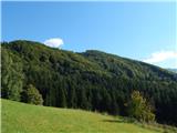 17
17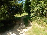 18
18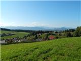 19
19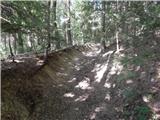 20
20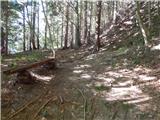 21
21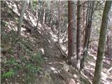 22
22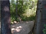 23
23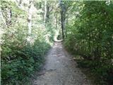 24
24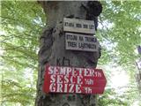 25
25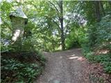 26
26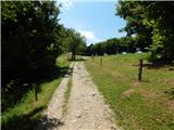 27
27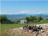 28
28 29
29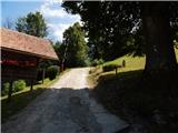 30
30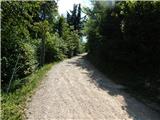 31
31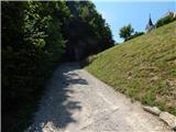 32
32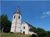 33
33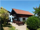 34
34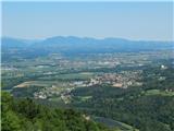 35
35