Starting point: Slatna (640 m)
Starting point Lat/Lon: 46.3682°N 14.2271°E 
Time of walking: 2 h 30 min
Difficulty: easy marked way
Difficulty of skiing: no data
Altitude difference: 838 m
Altitude difference (by path): 838 m
Map: Karavanke - osrednji del 1:50.000
Access to starting point:
From highway Ljubljana - Jesenice we go to the exit Radovljica (from Gorenjska side exit Lesce) and follow the road ahead in the direction of Begunje. In Begunje we continue driving right towards Tržič, and we follow a little narrower road to the village Slatna. Because in the mentioned village there aren't any appropriate parking spots, we park on an appropriate place by the road before or after the village.
Path description:
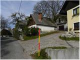
By the main road we continue to the center of the village, where we will notice by the road red signpost »2h 15min«, which points us past few houses in the forest. At first quite wide path then brings us to a water storage Slatna. Further, the path becomes a little narrower and through the forest brings us to a cart track, where we join the path from Begunje.
On cart track we continue right and we are still ascending through the forest. Higher, we come on a mountain road, on which we continue few meters to the left and then blazes point us right again in the forest. Further long time we walk through the forest in the direction towards the east. And in doing so we twice cross the mountain road, and then we soon join the path from the village Hudi Graben and Zadnja vas.
At the crossing, we continue left on a footpath which higher few more times crosses a mountain road. The mentioned path, which is occasionally ascending quite steep, we then follow all the way to the mountain hut Koča na Dobrči.
Pictures:
 1
1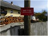 2
2 3
3 4
4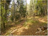 5
5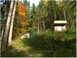 6
6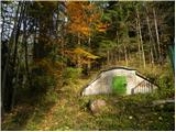 7
7 8
8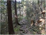 9
9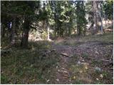 10
10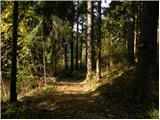 11
11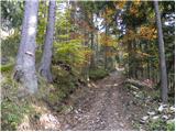 12
12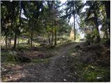 13
13 14
14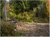 15
15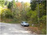 16
16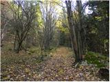 17
17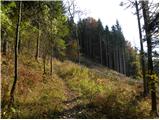 18
18 19
19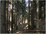 20
20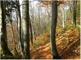 21
21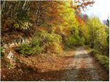 22
22 23
23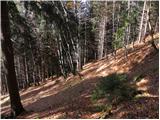 24
24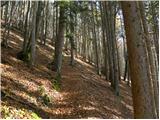 25
25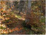 26
26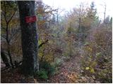 27
27 28
28 29
29 30
30 31
31 32
32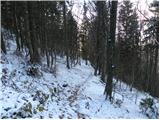 33
33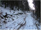 34
34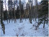 35
35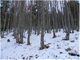 36
36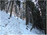 37
37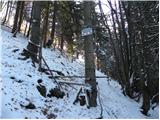 38
38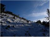 39
39 40
40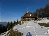 41
41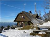 42
42