Slavkov dom na Golem brdu - Jeterbenk
Starting point: Slavkov dom na Golem brdu (396 m)
Starting point Lat/Lon: 46.1055°N 14.4169°E 
Time of walking: 1 h 15 min
Difficulty: easy marked way
Difficulty of skiing: partly demanding
Altitude difference: 378 m
Altitude difference (by path): 420 m
Map: Ljubljana - okolica 1:50.000
Access to starting point:
A) Access from Ljubljana: From Ljubljana, we drive towards Medvode but only to a village Medno. Here we turn left and drive past the hotel after which we soon come to a crossroad, where we continue left towards Golo brdo and Žlebe. The road then runs through Seničica, where we continue straight in the direction of Golo brdo. The road then brings us to the next crossroad, where a marked path branches off to the right on Golo brdo. Here we continue straight as well and we drive further for approximately 1 km to the next crossroad, where we turn right. We follow this road to a smaller parking lot, which is situated few ten meters below the mountan hut Slavkov dom. On a large parking lot at the mountain hut only guests are allowed to park.
B) Access from Medvode: From Medvode we drive towards Ljubljana. At the last traffic light in Medvode we turn right over a railway track and then we continue left. At the crossroad a little before the hotel in Medno we turn right and the road then brings us in a village Seničica. Further, follow the upper description.
Path description:
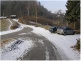
From the parking lot, we continue on the road upwards (not in the direction of the mountain hut Slavkov dom), which after few ten strides brings us to mountain signposts. Here the path for Jeterbenk points us left on a cart track steeply upwards. The steepness of the cart track soon decreases and it changes into a pleasant footpath. The path then brings us on a wide cart track which we follow to the left. After a half an hour of walking from the mountain hut also this cart track turns into a footpath which starts ascending steeper. The path ahead has quite a few crossings but it is everywhere well-marked (we stick to direction of Jeterbenk). The path eventually passes on a side ridge of Jeterbenk on which it is steeply ascending and occasionally for a short time descends. This path, which only few steps below the summit joins the path from Katarina we follow all the way to the top.
Pictures:
 1
1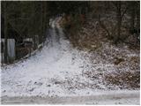 2
2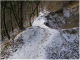 3
3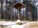 4
4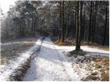 5
5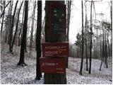 6
6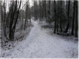 7
7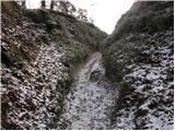 8
8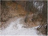 9
9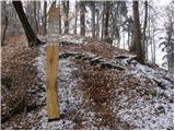 10
10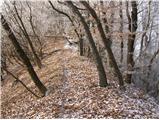 11
11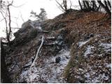 12
12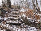 13
13 14
14