Slovenj Gradec - Koča pod Kremžarjevim vrhom
Starting point: Slovenj Gradec (413 m)
Starting point Lat/Lon: 46.5102°N 15.0817°E 
Time of walking: 2 h 5 min
Difficulty: easy marked way
Difficulty of skiing: no data
Altitude difference: 689 m
Altitude difference (by path): 700 m
Map: Pohorje - izletniška karta 1:50.000
Access to starting point:
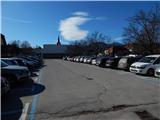
We drive to Slovenj Gradec, and we park near the roundabout by the store Hofer. Most of the parking lots in the center of the town is during the week payable, and we can mostly park only for two hours, therefore on the mentioned parking lots it is best to park on weekends, and during the week we choose other parking lot. A larger free parking lot is by the town's cemetery, which extends the path for good 10 minutes. The cemetery is situated on a periphery of the town in the direction towards Velenje.
Path description:
From the spot where we've parked, we walk to a roundabout by store Hofer, and then we go on the road in the direction of the ski slope Kope and settlement Legen. We at first walk on a sidewalk, we leave the road towards Kope at the crossroad, where the road towards Kope turns right, and we continue straight in the direction of a marked path on Kremžarjev vrh and the road towards Gradišče. Further, we still walk on a sidewalk, a little after the road sign which marks the end of Slovenj Gradec, signposts point us to the left on the path which ascends through a meadow. At few houses, we cross the asphalt road, and a little higher we join it and we follow it to the right.
For a short time, we walk on the asphalt road, and then blazes point us slightly to the left, on a footpath which ascends through the forest. Higher, we step out of the forest, we cross a macadam road and we ascend on a panoramic grassy slope. On the upper edge of the meadow, we cross also a worse road, and then we for some time again continue the ascent through the forest. We quickly leave the forest and we get to another meadow, by the edge of which we continue to a smaller hamlet, where we step on the road. Here, by the road which we follow few meters, we notice a cross and then we go left on a wide cart track which after few meters we leave. Because signs point us to the right upwards, on the path which through the forest brings us to the next hamlet. Here we again step on the road which we follow to the left. After few minutes of walking on the road, we come to a crossroad, where we continue straight on the bottom road which brings us to the next hamlet. Only few meters before the house, the marked path turns left and continues on a cart track. This path we then follow to the next hamlet, after which we few meters walk on the road. Blazes here again point us on a footpath which a little higher once again crosses the road. The path after that for a short time a little steeper ascends and it brings us to a crossing, where the path from Dravograd joins. Here we continue right and after a short ascent on a partly unvegetated slope we get to the mountain hut Koča pod Kremžarjevim vrhom.
Pictures:
 1
1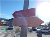 2
2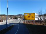 3
3 4
4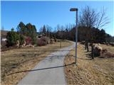 5
5 6
6 7
7 8
8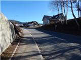 9
9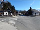 10
10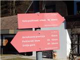 11
11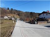 12
12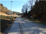 13
13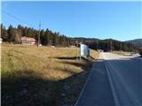 14
14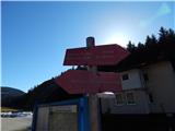 15
15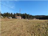 16
16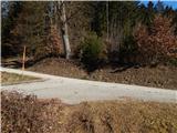 17
17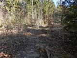 18
18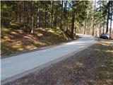 19
19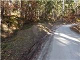 20
20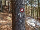 21
21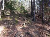 22
22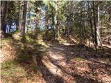 23
23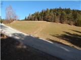 24
24 25
25 26
26 27
27 28
28 29
29 30
30 31
31 32
32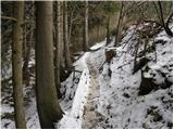 33
33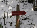 34
34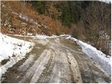 35
35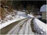 36
36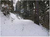 37
37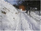 38
38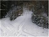 39
39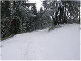 40
40 41
41 42
42