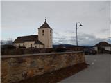
Šmartno na Pohorju - Sveti Urh (Urh)
Starting point: Šmartno na Pohorju (780 m)
Starting point Lat/Lon: 46.44504°N 15.54013°E 
Time of walking: 1 h 45 min
Difficulty: easy unmarked way
Difficulty of skiing: no data
Altitude difference: 115 m
Altitude difference (by path): 240 m
Map: Pohorje 1:50.000
Access to starting point:
We leave Štajerska highway at exit Slovenska Bistrica south or north (depending on which direction we come from), and then we drive into the center of Slovenska Bistrica, from where we go on the road in the direction of the settlement Šmartno na Pohorju. Next follows few kilometers of ascent, and we follow the road in the direction of the mentioned settlement. When we get to Šmartno na Pohorju, we park on a smaller settled parking lot at the cemetery and church of St. Martin.
Path description:
From the parking lot in few steps we walk to the main road which leads through the settlement, and we follow it to the right, where also the blazes point us to. For a short time, we walk through the center of the settlement, and then with nice views, we walk to a smaller crossroad, at a little bigger chapel.
Here we continue straight (right Ruška koča na Arehu - path over Frajhajm) and a few minutes further we arrive at the next marked crossroad, from which we continue left towards Sveti Trije kralji (straight Ruška koča na Arehu). Nearby houses we bypass on the left side, and then we continue by the pasture. Further, we lightly descend on a poorer road; when the road turns sharply left, we continue straight on the path that goes into the forest. The path ahead leads us past a trough with water, and then Knafelc blazes direct us to the left (straight guesthouse Dovnik). A little further, over a small bridge, we cross the stream Devina, and we follow the blazes. Next follows a short steep ascent, then the path flattens slightly and leads us out of the forest, where we cross a meadow diagonally towards the right. Higher up, at the edge of the forest, we reach a cart track that brings us to the lower pond Ribnik v Ošelju.
The mentioned pond we bypass on the right side, and on a poorer road, in two minutes, we also reach the upper pond Ribnik v Ošelju.
The upper pond we bypass on the left side, and just a little further, we reach an asphalt road, where we go right in the direction of Sveti Trije kralji and Oplotnica. We continue past a few more houses, then go left (straight and after a few meters right Areh), where we pass a farm onto a meadow. While walking through the meadow, a beautiful view opens up on Boč and Veliki vrh; when we reach the forest, we then quickly arrive at a pond.
The mentioned pond we bypass on the left side, then continue on the path that, in a few minutes, brings us to a macadam road, which we follow to the left. The road quickly leads us out of the forest, and we descend along it to a marked crossroad by the bridge over the stream Bistrica.
A little before the bridge, an abandoned path branches off to the right, leading past the Jesenek farm towards Sveti Trije kralji. Just before the bridge, a marked path through Bistriški Vintgar joins from the left, but we continue straight over the bridge to a small crossroad, where we leave the path towards Sveti Trije kralji and proceed straight on an unmarked road. Initially, we continue gently through the forest, and later we ascend somewhat more steeply. Higher, we leave the forest, and the farms we bypass on the right side. When we return into the forest, the road once again splits, and we continue straight (right - farm Cahej) and then after a minute of additional walking, we get to the church of St. Urh.
The starting point - ponds in Ošelj 0:35, ponds in Ošelj - pond west of Ošelj 0:10, pond west of Ošelj - Sveti Urh 1:00.
Description and pictures refer to the condition in January and July 2022 and May 2023.
Pictures:
 1
1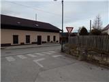 2
2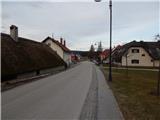 3
3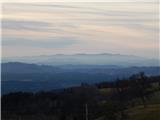 4
4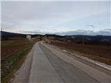 5
5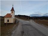 6
6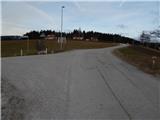 7
7 8
8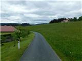 9
9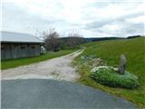 10
10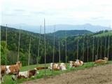 11
11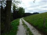 12
12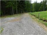 13
13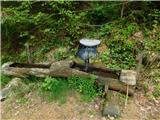 14
14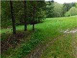 15
15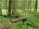 16
16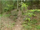 17
17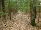 18
18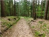 19
19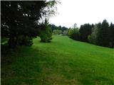 20
20 21
21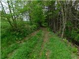 22
22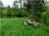 23
23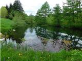 24
24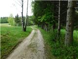 25
25 26
26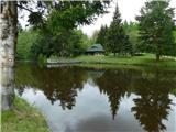 27
27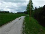 28
28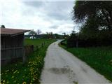 29
29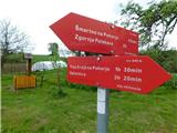 30
30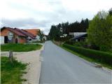 31
31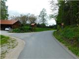 32
32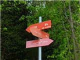 33
33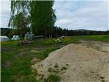 34
34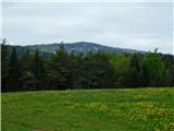 35
35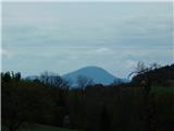 36
36 37
37 38
38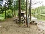 39
39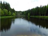 40
40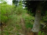 41
41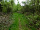 42
42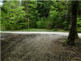 43
43 44
44 45
45 46
46 47
47 48
48 49
49 50
50 51
51 52
52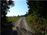 53
53 54
54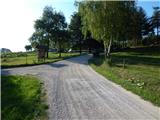 55
55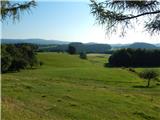 56
56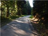 57
57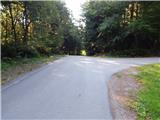 58
58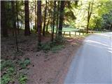 59
59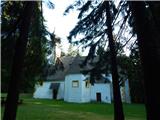 60
60