Spodnje Gorje - Planina Obranica
Starting point: Spodnje Gorje (620 m)
Time of walking: 1 h 5 min
Difficulty: easy unmarked way
Difficulty of skiing: easily
Altitude difference: 415 m
Altitude difference (by path): 415 m
Map: TNP 1:50.000
Access to starting point:
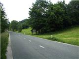
From highway Ljubljana - Jesenice we go to the exit Lipce, where we turn left in the direction of "Blejska Dobrava and Spodnje Gorje". Soon, when we drive in railway underpass we are at the next crossroad, where we drive in the direction of right - Bled, Kočna. At first, a zig-zag road ascends straight towards the west and soon at the left turn reaches the top or settlement Kočna. When we drive through it, we drive additional 3 km, whereupon by the road in front of the settlement sign Spodnje Gorje we notice wooden sign with the caption Gorje - welcome... Here, nearby we park.
Path description:
Right before wooden sign we step on a grassy path, which runs right uphill through a meadow. A little higher we notice low hunting observatory. Beside it leads the cart track, on which we go, and towards the northwest (right) it soon brings us into the forest.
Cart track, which is becoming rough and muddy is at first ascending towards the northeast, later for some time also in the direction of southwest. When the steepness decreases, we run into a crossing, where we choose right (or straight) direction. Here we at first walk on a little overgrown cart track which is steeper and steeper ascending and is getting gravel grounding. When the steepness decreases, the path turns at first a little left and after this also sharply right towards the north, where completely flattens. At the next crossing, we continue right uphill, later because of the fallen trees for some time we leave the cart track and we walk by it on the right. When we return on it, we step out of the forest on with spruces vegetated gentle meadow, where past a hovel after some time we again step into the forest. Next follows some ascent in turns, whereupon we run into gate with the caption. We enter on the mountain pasture, and after few 10 meters we run into stone ruins, where we first go right uphill to a panoramic summit, and from here also to shepherd cottage, which is situated on the western edge of the mountain pasture.
Pictures:
 1
1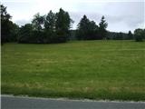 2
2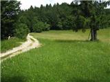 3
3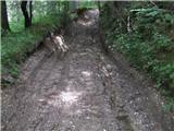 4
4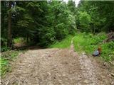 5
5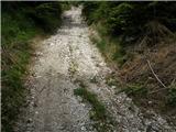 6
6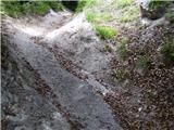 7
7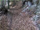 8
8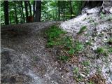 9
9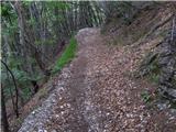 10
10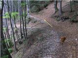 11
11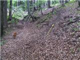 12
12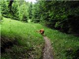 13
13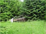 14
14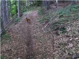 15
15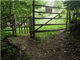 16
16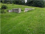 17
17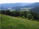 18
18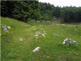 19
19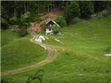 20
20