SSK Sam Ihan - Oklo nad Ihanom (via Sveti Miklavž)
Starting point: SSK Sam Ihan (294 m)
Starting point Lat/Lon: 46.133°N 14.6178°E 
Path name: via Sveti Miklavž
Time of walking: 1 h 40 min
Difficulty: easy unmarked way
Difficulty of skiing: no data
Altitude difference: 171 m
Altitude difference (by path): 290 m
Map: Ljubljana - okolica 1:50.000
Access to starting point:
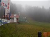
We leave the Štajerska highway at the Domžale exit, then follow the signs for Krumperk Castle. We park just a little further ahead from the highway, on the parking lot by the SSK Sam Ihan ski jumping hills.
Path description:
At the end of the ski jumping center, at the spot where there is a no-parking sign along the macadam road, we head onto a footpath that enters the forest and begins to ascend moderately. Higher up, the path splits several times, then rejoins higher up, and it doesn't matter which directions we choose; the important thing is only that we are ascending. After about 15 minutes of ascent, a marked path from Domžale also joins us, and we continue the light to moderate ascent, which ends at Veliki vrh.
From Veliki vrh, we continue straight ahead on the path that begins to descend moderately; at junctions, we follow the otherwise rare blazes. A little lower, we emerge from the forest and easily ascend across a meadow to the macadam road, where there is a marked junction.
The marked path continues toward Sv. Trojica, but we ascend along the macadam road in one or two minutes of further walking to the church of St. Kunigunda.
From the church, we return to the last junction, then continue in the direction of Oklo and Sv. Trojica. A few minutes further, when we leave the forest, we cross the high-voltage power line route, then arrive at the Equestrian Center Brdo pri Ihanu, where we step onto an asphalt road. Along the asphalt road, we first descend slightly to a junction where there is a chapel, then ascend along the road that continues left of the chapel (we can also reach the church of St. Miklavž by continuing along the road to the right of the chapel).
The path ahead leads us along the asphalt road toward the settlement Dobovlje, but a few minutes further, at the left bend, we leave it and continue right onto a cart track. Initially, the path still leads fairly close to the asphalt road, then turns slightly right; higher up, it brings us to a smaller junction, where we continue along the slightly right cart track (slightly left leads to Dobovlje or Oklo). We then follow this cart track, which gently ascends while crossing the slopes to the right, all the way to the church of St. Miklavž at Goropeče.
Behind the church, we go left, initially slightly uphill, then follow the cart track that crosses the slopes to the right and joins the asphalt road a little further on, which we reach between the chapel on the left and the farm on the right. We follow the road left; we walk along it for a few minutes, or until the miniature hayrack, where yellow-white blazes direct us left onto a cart track. Along the cart track, we ascend diagonally for a few minutes, then the blazes direct us right onto a somewhat narrower path. The path quickly widens, and then the fairly even trail quickly brings us to the NOB monument at Oklo.
The description and photos refer to conditions in 2018 (January).
Pictures:
 1
1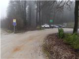 2
2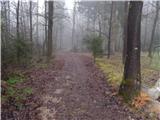 3
3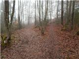 4
4 5
5 6
6 7
7 8
8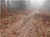 9
9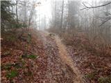 10
10 11
11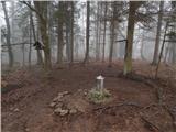 12
12 13
13 14
14 15
15 16
16 17
17 18
18 19
19 20
20 21
21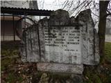 22
22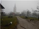 23
23 24
24 25
25 26
26 27
27 28
28 29
29 30
30 31
31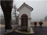 32
32 33
33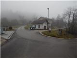 34
34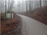 35
35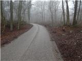 36
36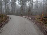 37
37 38
38 39
39 40
40 41
41 42
42 43
43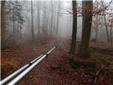 44
44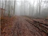 45
45 46
46 47
47 48
48 49
49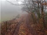 50
50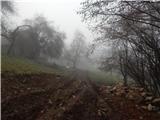 51
51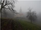 52
52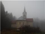 53
53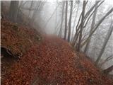 54
54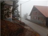 55
55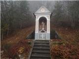 56
56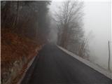 57
57 58
58 59
59 60
60 61
61 62
62 63
63 64
64 65
65 66
66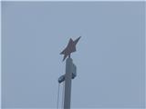 67
67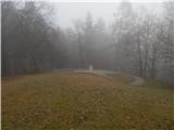 68
68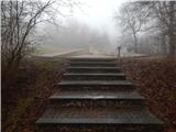 69
69