Stara Fužina - Planina pod Mišelj vrhom
Starting point: Stara Fužina (600 m)
Starting point Lat/Lon: 46.2903°N 13.8868°E 
Time of walking: 4 h 15 min
Difficulty: easy marked way
Difficulty of skiing: demanding
Altitude difference: 1045 m
Altitude difference (by path): 1100 m
Map: Triglav 1:25.000
Access to starting point:
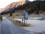
From highway Ljubljana - Jesenice we go to the exit Lesce and follow the road towards Bled and forward towards Bohinjska Bistrica. We continue driving towards the Lake Bohinj (Ribčev laz), where we come to the crossroad, where we continue right in the direction of Stara Fužina. In Stara Fužina at the crossroad at the chapel, we turn sharply left on an ascending road in the direction of the mountain pasture Blato, mountain pasture Vogar and valley Voje. The road ahead brings us to the spot, where a road toll has to be paid, and we park here on a settled payable parking lot.
Path description:
From the parking lot, we continue right in the direction of gorge Korita Mostnice on a wide path, on which in few minutes we get to Hudičev most (devil's bridge), from which we can already get a first look into the gorge. At the bridge, we step on a rough road which we follow to the left, and there we walk only for a short time because then signs for gorge point us to the right on a well-settled tourist path. The path ahead soon brings us to the main part of the gorge, by which we are then gently ascending. During the ascent by the gorge, we run into signs "Slonček" (a rock, which is carved by water in the shape of an elephant - worth seeing). The path ahead is for some time ascending by Mostnica, and then turns a little towards the left, where after few minutes of additional walking brings us to a forest road which leads towards the gable of the valley Voje. We follow the road to the right, and it quickly brings us to the mountain hut Koča na Vojah (to here also possible with a car, this shortens the path for approximately 45 minutes).
From the mountain hut, we continue on a gently sloping macadam road which then leads us by the edge of extensive pastures of valley Voje. A little further, the road splits into two parts, and we can continue both on left (direction Velo polje) and on few minutes longer right road which by the gable of a valley brings us to the waterfall Mostnice.
If we visited the waterfall, we return few meters back, and then over a small bridge, we join "left" a little shorter path. The path ahead passes into a dense forest, where at first it ascends above the waterfall, and then gradually turns to the left, where it is ascending on relatively steep slopes. After approximately one hour ascent through the forest, the path turns to the right and then after few minutes of a diagonal ascent brings us out of the forest on the mountain pasture Spodnja Grintovica, where there is a trough with water (because of possible frost we can open a tap only in the summer months).
The path ahead returns into the forest, where it again starts ascending steeper. A considerably monotonous path then brings us into a small indistinct valley (sinkhole Jurjevčeva vrtača), where it gradually flattens. Ahead forest becomes little thinner and the path turns slightly towards the right, where then after few minutes of additional walking, we get to a poorly marked crossing.
At the crossing, we go left (right Vodnikov dom) and we continue the ascent on the path which entirely flattens and in few minutes of additional walking brings us to the intermittent lake near mountain pasture Planina pod Mišelj vrhom. Here we continue sharply left and after a shorter diagonal ascent we get to the already mentioned mountain pasture.
Stara Fužina - Spodnja Grintovica 2:45, Spodnja Grintovica - Planina pod Mišelj vrhom 1:30.
Pictures:
 1
1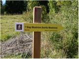 2
2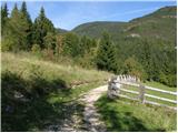 3
3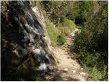 4
4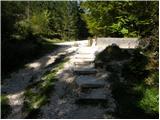 5
5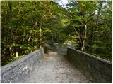 6
6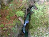 7
7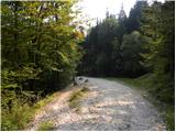 8
8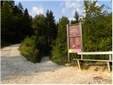 9
9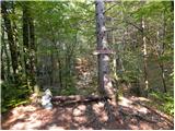 10
10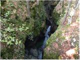 11
11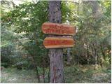 12
12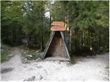 13
13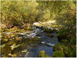 14
14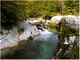 15
15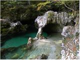 16
16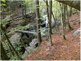 17
17 18
18 19
19 20
20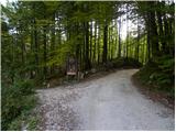 21
21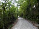 22
22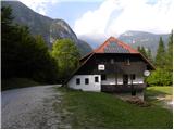 23
23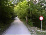 24
24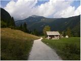 25
25 26
26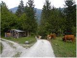 27
27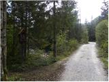 28
28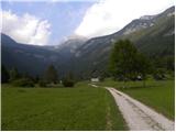 29
29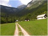 30
30 31
31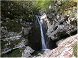 32
32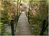 33
33 34
34 35
35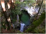 36
36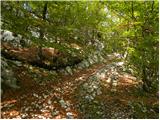 37
37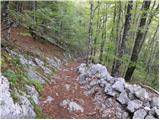 38
38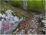 39
39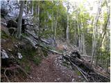 40
40 41
41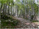 42
42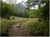 43
43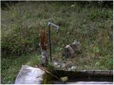 44
44 45
45 46
46 47
47 48
48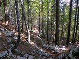 49
49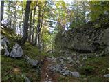 50
50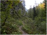 51
51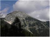 52
52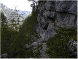 53
53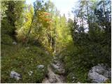 54
54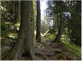 55
55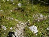 56
56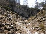 57
57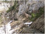 58
58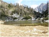 59
59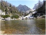 60
60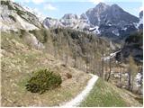 61
61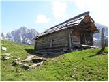 62
62