Starting point: Stogovci (234 m)
Starting point Lat/Lon: 46.33869°N 15.75306°E 
Time of walking: 35 min
Difficulty: easy marked way
Difficulty of skiing: no data
Altitude difference: 108 m
Altitude difference (by path): 108 m
Map:
Access to starting point:
A) We leave Štajerska highway at exit Slovenska Bistrica - jug, and then we follow the road towards Poljčane, and from there towards Makole, Majšperk and Ptuj. At the end of Majšperk at the roundabout we go to the exit in the direction of Žetale and Jurovci. We continue on the main road to the settlement Stanečka vas and a little further. At the end of the settlement Stanečka vas we go left and we continue driving on the main road (right - Žetale). A little further, at few houses we turn left into the settlement Stogovci. At the crossroad and a bus stop, where there aren't any parking spots, there is the beginning of the described path.
B) We leave Podravska highway at exit Lancova vas, and then we follow the signs for Podlehnik and Jurovci. At the end of the settlement Tržec we go from the roundabout right towards Jurovci and further we drive towards Majšerk. After the settlement Doklece a road branches off to the right on Ptujska Gora, and we continue straight, and at few houses we turn right, where we go towards the settlement Stogovci. At the crossroad and a bus stop, where there aren't any parking spots, there is the beginning of the described path.
Path description:
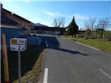
From the bus stop, we go on a side road which after few steps brings us to the road sign, which marks the beginning of the settlement Stogovci. We continue through the village, where we are gently ascending on the asphalt road, and after a smaller bridge, the road becomes a little steeper, but it still leads us past individual houses. Higher, we cross a lane of a forest and then we get to the next houses, where we go from the crossroad left towards Ptujska Gora. A little further, we already get to the settlement Ptujska Gora, and on the road or sidewalk we walk to a marked crossroad, which is situated below the church.
We continue on a marked path which continues on stairs. Higher, we cross also a narrower road, and then we continue on the stairs to the church on Ptujska Gora.
Description and pictures refer to a condition in December 2021.
Pictures:
 1
1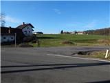 2
2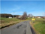 3
3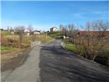 4
4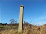 5
5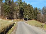 6
6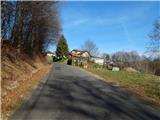 7
7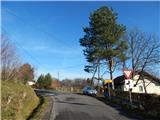 8
8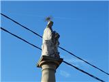 9
9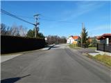 10
10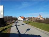 11
11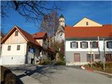 12
12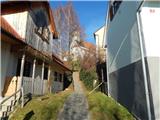 13
13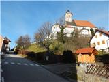 14
14 15
15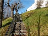 16
16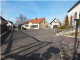 17
17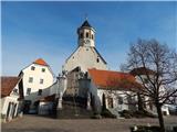 18
18 19
19